Countries with
![]() Projects
Projects
![]() Active tasks
Active tasks
![]() Members
Members
![]() # of Tasking Manager projects
# of Tasking Manager projects
![]() Tasking Manager project sized by edits
Tasking Manager project sized by edits
Our Work
LEARN ABOUT OPEN MAPPING ACROSS OUR IMPACT AREAS AND PROGRAMS:
 Disasters & Climate Resilience
 Sustainable Cities & Communities
 Public Health
 Displacement & Safe Migration
 Gender Equality
—
Highlighted Projects
Highlighted Programs
Recent Projects
See more projects by impact area
Mapatones Nacionales Anuales Anticipatorios (MANA) en América Latina
HOT Program
Colombia and 4 other countries
Pegasus Caribbean - Saint Lucia & Jamaica
HOT Program
Jamaica Saint Lucia
MapEdu: Concurso Educativo de Mapeo Abierto en América Latina
HOT Program
Argentina and 3 other countries
Myanmar Earthquake Response 2025
HOT Program
Myanmar
Participatory Mapping for a Sustainable Amazon
Community-Led
Bolivia and 2 other countries
Improving the transport ecosystem in Lagos: Ferries are available on OpenStreetMap!
HOT Program
Nigeria
Map2Mitigate: Mapeamento comunitário para mitigação de riscos climáticos no Brasil
Community-Led
Brazil
Mapeos participativos para una Amazonía sostenible
Community-Led
Bolivia and 2 other countries
Strengthening Open Data Processing and Mapping for Disaster Resilience - Mozambique
HOT Program
Mozambique
Map2Mitigate: Community Mapping for Climate Risk Mitigation in Brazil
Community-Led
Brazil
OSM Buildings for Representation of IDPs in Somalia
HOT Program
Somalia
Mapeo participativo de transporte en Oaxaca y Toluca, México
HOT Program
Mexico
Collaborative Approaches to Mapping Damage in Lebanon
HOT Program
Lebanon
Mapping for Sherni River Museum Project
HOT Program
India
Morocco Earthquake: OpenStreetMap data in support of response efforts
HOT Program
Morocco
Geospatial Data for Humanitarian Response in Sudan Conflict
HOT Program
Sudan
Ruwa -Stories
HOT Program
Niger
Mapping For Climate-Ready Cities: Nepal Road Network Validation
HOT Program
Nepal
Analyzing and Improving OpenStreetMap Data for Anticipatory Action in the Humanitarian System
HOT Program
Ethiopia and 4 other countries
Gaza Building Footprints Pre-Conflict Update 2024
HOT Program
Palestinian Territory
2024 Mexico Pacific Hurricanes Response
HOT Program
Mexico
Mapping Surface Water Sources in Somalia
HOT Program
Somalia
Participatory Transport Mapping in Zamora, Mexico
HOT Program
Mexico
Mapeo Participativo de Transporte en Zamora, Michoacán
HOT Program
México
UnAula: Mapping of Populations, Mobilizations, and Territories
Community-Led
Colombia
Humanitarian Mapping Brigade
HOT Program
Argentina and 9 other countries
2024 Hurricane Beryl Response
HOT Program
Mexico
Belize Wildfires Response
HOT Program
Belize
Water Access in Rural Niger (Ruwa)
HOT Program
Niger
Tracking Flooding in Rural Liberia
HOT Program
Liberia
Public Health: Sunnu Wer Gi Yaram
HOT Program
Senegal
Sustainable Cities: Mai Tou Togo
HOT Program
Togo
Rio Grande do Sul, Brazil Floods Response
Community-Led
Brazil
Mapping for Climate Ready Cities - Liberia and Sierra Leone
HOT Program
Liberia Sierra Leone
Mapping of public health facilities supporting Polio Eradication in Indonesia
Community-Led
Indonesia
Laboratorio de Mapeo Humanitario
HOT Program
Argentina and 8 other countries
Humanitarian Mapping Laboratory
HOT Program
Argentina and 8 other countries
Mapeo Colaborativo e Inclusivo del Medio Solimões, Amazonas
Community-Led
Brazil
Mapeamento Colaborativo e Inclusivo do Médio Solimões, Amazônia
HOT Program
Brazil
Collaborative and Inclusive Mapping of the Middle Solimões, Amazon
Community-Led
Brazil
Women Centered Disaster Resilience in Small Island Developing States - Montserrat
HOT Program
Montserrat
Women-Centered Disaster Resilience in Small Island Developing States - Timor-Leste
HOT Program
Timor-Leste
Mapping for Climate Ready Cities - Dhaka Thrive
HOT Program
Bangladesh
Mapeo Participativo en San Antonio de Prado, Colombia
HOT Program
Colombia
Anticipatory Mapping for Climate Resilience in Timor Leste
Community-Led
Timor-Leste
Mapping for Climate Ready Cities - East and Southern Africa
HOT Program
Kenya and 2 other countries
Mapping for Climate Ready Cities - Nigeria and Ivory Coast
HOT Program
Nigeria and 3 other countries
Women-Centered Disaster Resilience in Small Island Developing States - Trinidad and Tobago
HOT Program
Trinidad and Tobago
Mapping for Climate Ready Cities - Latin America
HOT Program
Global
Activación por el Huracán Otis 2023
HOT Program
Mexico
Hurricane Otis 2023 Response
HOT Program
Mexico
Open Mapping for All
Community-Led
Argentina and 2 other countries
Renforcer La Collaboration Entre Les Organisations et Les Communautés Locales en Afrique de L'ouest Grace au Programme OSMer en Résidence
HOT Program
Global
Kakuma Kalobeyei Community Mapping
HOT Program
Kenya
Strengthening Collaboration Between Organizations and Local Communities in West Africa through the OSMer in Residence Program
HOT Program
Global
HOT OpenSummit 23-24
HOT Program
Global
Peer-to-Peer Learning for Open Mapping Communities
HOT Program
Democratic Republic of the Congo and 3 other countries
She Leads and She Inspires
HOT Program
Asia-Pacific and 16 other countries
A Unique Approach to Granting - The Devolved Microgrant Program and its Impact on Local Communities
Community-Led
Tanzania
The Project Factory
HOT Program
Peru
Using Open-Source Tools to Profile 17 Informal Settlements in Hoima and Lira Cities in Uganda
Community-Led
Uganda
Open Cities: Jamaica
HOT Program
Global
Open Cities Latin America and the Caribbean, Dominica
HOT Program
Dominica
Open Cities: Saint Lucia
HOT Program
Saint Lucia
Open Mapping Hub - LAC's Publications
HOT Program
Global
Participatory transport mapping in Zitácuaro, Michoacán
HOT Program
Mexico
OpenStreetMap in Schools of the West Nile and Western Uganda regions
HOT Program
Uganda
Open Cities Guatemala: San José Poaquil, Chimaltenango
HOT Program
Guatemala
OpenCities Guatemala: San José Poaquil, Chimaltenango
HOT Program
Guatemala
Open Cities México
HOT Program
Mexico
Open Cities Mexico
HOT Program
Mexico
Mapping Volcanoes in Ecuador
HOT Program
Ecuador
Mapping Tropical Storm Ana and Cyclone Gombe in the Most Affected Districts of Malawi for Early Recovery of Affected Communities
Community-Led
Malawi
Mapping the Chepang Community
HOT Program
Nepal
Mapping Ruboni Village Tourist Attractions on OpenStreetMap to Enhance Regional Tourism
HOT Program
Uganda
Mapping Contraceptive Access in the Newly Formed Cities in Northern Uganda
HOT Program
Uganda
Mapeo participativo de transporte en Zitácuaro, Michoacán
HOT Program
Mexico
Mapeo de Volcanes en Ecuador
HOT Program
Ecuador
Mapeamento de vulcões no Equador
HOT Program
Ecuador
La fábrica de proyectos
HOT Program
Peru
Fighting Gender-Based Violence (GBV) using OpenSteetMap Tools in Western Uganda
Community-Led
Uganda
Crowdsource Mapping for Disaster Management (Timor-Leste)
HOT Program
Timor-Leste
Community Participatory Mapping for Disaster Resilience
HOT Program
Kenya
Climate Resilience Planning with Digital Mapping
HOT Program
Zambia
Canoa de Tolda
HOT Program
Brazil
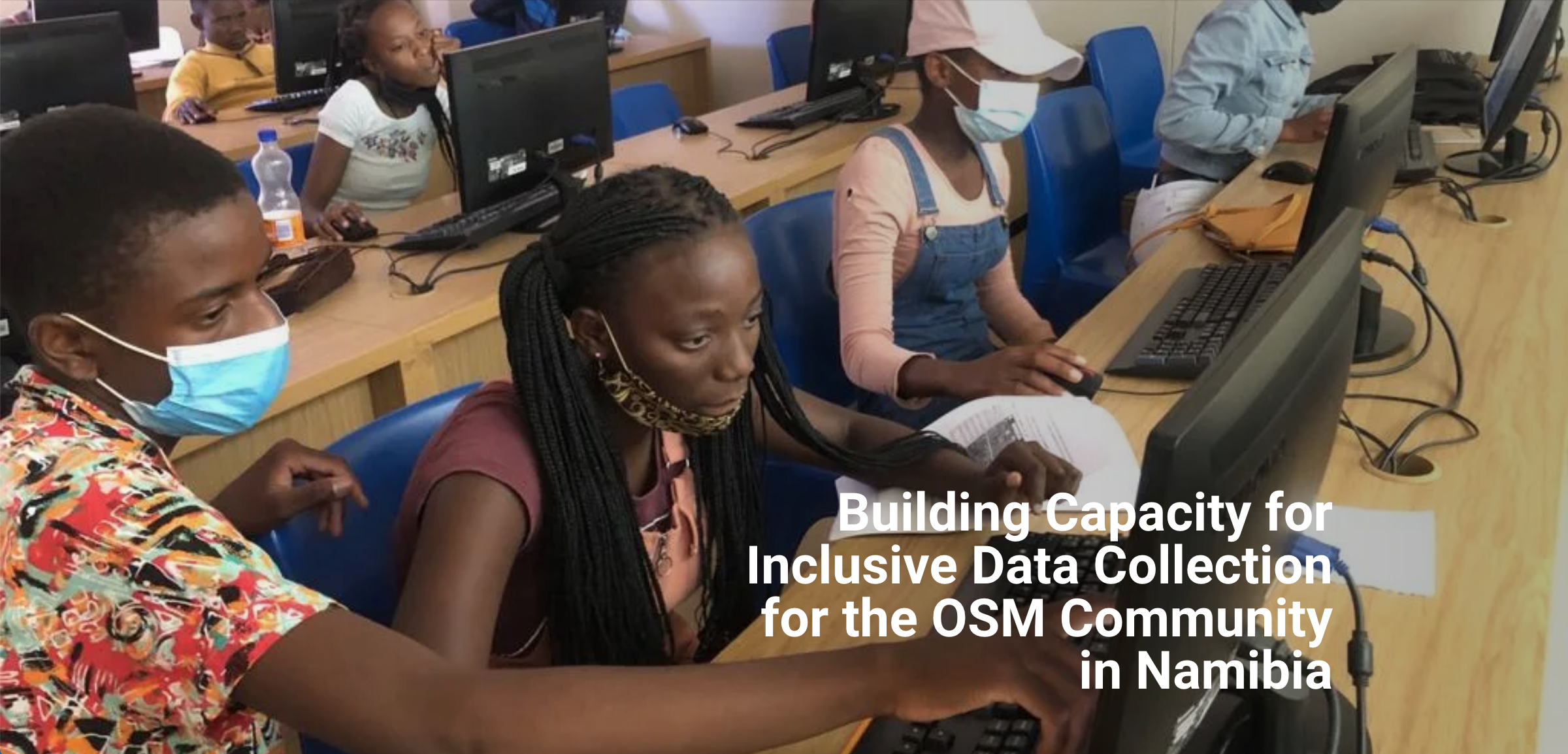
Building Capacity for Inclusive Data Collection for the OSM Community in Namibia
HOT Program
Namibia
A fábrica de projetos
HOT Program
Peru
Canoa de Tolda
Community-Led
Brazil
Satellite Imagery for Social Good in Kenya and Nigeria
HOT Program
KenyaNigeria
Scaling Missing Maps in the Great Lakes Region
HOT Program
Democratic Republic of the Congo Uganda
Protecting the Frontlines Project - Kenya and Uganda
HOT Program
Kenya Uganda
Open Data for Resilience and Risk Management Initiative: Open Cities Latin America and Caribbean
HOT Program
Dominica and 4 other countries
COVID-19 Vaccination Campaign, Pilot Project
HOT Program
South Sudan
USAID Local Impact Governance in Zambia
HOT Program
Zambia
Shack Dwellers Federation Namibia: Guardians of the Map: Growing a community of OSM Mappers
Community-Led
Namibia
Map Malawi: OSM Mapping for Refugees - A Case of Dzaleka Camp, Malawi
Community-Led
Malawi
Community Mapping Urban Risk Exposure in Dar es Salaam: Ramani Huria Extension
HOT Program
Tanzania
Mwanza Urban Risks Mapping: Ramani Mwanza
HOT Program
Tanzania
Integrating OpenStreetMap data into Caribbean disaster response efforts: GeoCRIS
HOT Program
Anguilla and 18 other countries
Scaling Machine-Learning Workflows for Participatory Mapping: Monrovia ML Challenge
HOT Program
Liberia
Regional Road Network Improvement in Turkey and Greece
HOT Program
Turkey Greece
Energy Saving Solutions and Retailers in Bidibidi Refugee Settlement
HOT Program
Uganda
Mapping and Surveying of the Nakamiro Channel area in Kampala
HOT Program
Uganda
Research on mapping with open machine learning
HOT Program
Global
Open Cities: Community Mapping for a Resilient Bamako
HOT Program
Global
Productivity and Pollution Impacts: Monrovia Market Mapping
HOT Program
Liberia
GAL School Peru: Creating geospatial data to improve well-being of women and children
Community-Led
Peru
Digital Information for Ebola Preparedness: Point of Entry Training and Data Collection in Uganda
HOT Program
Uganda
4 County Digitization Liberia
HOT Program
Liberia
Bridging Data Gaps: Mapping Refugee Contexts in East Africa
HOT Program
Uganda Tanzania
Code for Africa: Using Drones to Map Makoko, One of Africa's Largest Slums
Community-Led
Nigeria
Open Cities Africa - Accra City Project - Ghana
Community-Led
Ghana
Open Cities Africa - Monrovia City Project - Liberia
HOT Program
Liberia
LECLARA: Sustainable Tourism Through Local Mapping in Ghana
Community-Led
Ghana
Cuerpo Consultivo para el Desarrollo de Rio Piedras - Disaster Preparedness for Puerto Rico
Community-Led
Puerto Rico
Risk Atlas development (Arua)
HOT Program
Uganda
Mapping the Missing Millions
HOT Program
Nepal Uganda
Eliminar la Malaria 2020
HOT Program
Guatemala
Disaster Early Warning And Capacity Building: InAWARE
HOT Program
Indonesia
Data for evidence-based decisions: Data Zetu
HOT Program
Tanzania
Informing rural electrification: Mini Grids
HOT Program
Tanzania
Dam Safety And Public Protection: InaSAFE
HOT Program
Indonesia
GeoChicas: Mapping the Gendered Effects of Disasters
Community-Led
Mexico
Crowd2Map Tanzania
Community-Led
Tanzania
OSM Bangladesh: Improving Healthcare in Slums
Community-Led
Bangladesh
Disaster Response: South Asian Floods 2017
Community-Led
Bangladesh
GAL School Peru: Developing Young Mappers
Community-Led
Peru
OSM Bangladesh: Map Your City
Community-Led
Bangladesh
Ger Community Map Center: Improving Emergency Response Maps
Community-Led
Mongolia
Modelling Exposure Through Earth Observation Routines: METEOR
Community-Led
Nepal Tanzania
Global exposure database for all: GED4ALL
HOT Program
Global
What We Do
HOT Program
Global
Disaster Activation: Cyclone Enawo 2017
HOT Program
Madagascar
Supporting decentralization in Liberian cities: LEGIT
HOT Program
Liberia
Women and Girls in Mapping
Community-Led
Global
Refugee response: South Sudan and Syria
HOT Program
Uganda and 3 other countries
Disaster Activation: Sri Lanka Flooding 2016
HOT Program
Sri Lanka
Disaster Activation: Ecuador Earthquake 2016
HOT Program
Ecuador
Mapping Access to Digital Financial Services
HOT Program
Uganda
Missing Maps
Community-Led
Global
Urban flood resilience: Ramani Huria
HOT Program
Tanzania
Community Mapping for Flood Resilience
HOT Program
Malawi
Disaster Activation: Typhoon Haiyan 2013
Community-Led
Philippines
Smart cities: Mapping Ulaanbaatar
HOT Program
Mongolia
EUROSHA
Community-Led
Burundi and 3 other countries
Field Mapping in Saint-Marc, Haiti
HOT Program
Haiti
Disaster Management Through Geospatial Data: DMI
HOT Program
Indonesia


