Community Participatory Mapping for Disaster Resilience

Climate projections indicate an increased severity and intensity of climate-related disasters due to climate change. As a result, several organizations are shifting from disaster response to disaster preparedness to mitigate disaster impacts on communities.

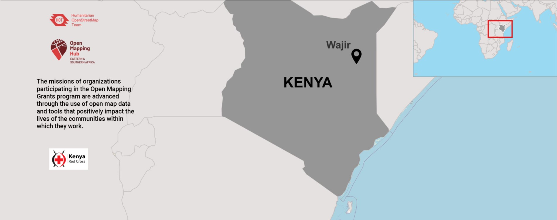
Wajir County in Kenya experiences frequent droughts and flash floods that negatively impact livelihoods, education, nutrition, and infrastructure. In addition, the frequency and intensity of these extreme weather events have increased due to climate change, making communities more vulnerable to subsequent disasters. However, effective use of data in early warning systems can reduce these impacts. The need for more adequate data was outlined as a significant shortcoming in disaster preparedness in the county. As a result, together with the county government, the Kenya Red Cross Society (KRCS), a humanitarian organization that sustainably promotes the well-being and resilience of communities, is implementing the Focused Base Financing (FbF) project in forecasting drought and flood impacts through data and weather forecasts to execute anticipatory actions before the disasters.
Through the Open Mapping Grants program, KRCS embarked on the Community Participatory Mapping for Disaster Resilience project in Wajir County, which promotes open map data to understand community vulnerability and strengthen disaster preparedness, mitigation, and response.
As part of the activities, a mapathon was held for the first time in Wajir County in September 2022 to map two wards within the Wajir West sub-county: Ganyure Wagalla and Hadado Athbohol. The three-day mapping event attracted a diverse group of people, including officials from Wajir County, geospatial experts, volunteers, and the local community, who used OpenStreetMap (OSM), an open-source mapping platform, to create detailed maps of the area. As a result, over 6,800 building footprints were added to OSM.

During the Wajir Mapathon held on 16th September 2022, Abdullahi Mohammed, Wajir North MCA aspirant, and county official emphasized using map data as a key tool in decision-making and for easy navigation during disasters.
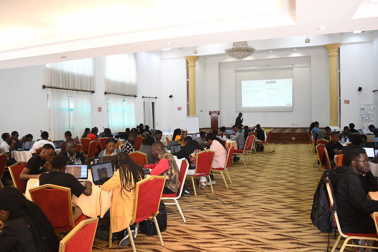
In October 2022, KRCS-ICHA conducted the second mapathon in Nairobi at Boma Hotel. The event attracted 80 participants who included the OSM Kenya community, youth mappers from the Technical University of Kenya (TUK) chapter, representatives from the Food and Agriculture Organization (FAO) Somalia, university students, and volunteers eager to map vulnerable communities located in Wajir, Tana River, and Busi county. As a result, 39,262 buildings were mapped and added to OSM.
Mary Muthee, a geospatial science student from the Technical University of Kenya, was pleased about her newly acquired knowledge of mapping
"The whole aspect of being a mapper and being able to make an impact in society through my skill has been the most fulfilling experience and especially being given a chance to map vulnerable areas in a bid to improve early action and response mechanisms in the humanitarian sector through the mapathon."
The project has added over 52,000 building footprints, 517 km of road, and over 300 features of interest on OSM. The data is now available for organizations, government agencies, and not-for-profits to design interventions that address community vulnerability to disasters.
In December 2022, the Kenya Drought Response Technical Working Group utilized OSM data to efficiently support households in Wajir County during the drought. OpenStreetMap data on road networks and schools helped determine optimal locations for food and non-food item distribution.
Through the project, county staff and community members, and volunteers have been trained in data collection using the Kobo-ODK platform and ID editor on the HOT Tasking Manager to map.
Furthermore, KRCS trained 25 mappers in mobile data collection, enabling them to update OSM data. The training covered using organic maps to add point features to OSM, such as health facilities, pharmacies, water points, and financial and learning institutions.
By involving local stakeholders and volunteers in the mapping process, KRCS-ICHA has created awareness and understanding of the importance of geospatial data and its use in anticipatory action. As a result, a local network of trained individuals who can respond quickly in the event of a disaster has been established with plans to expand mapping efforts across the entire county and promote open map data for decision-making on disaster risk reduction approaches.