Building Capacity for Inclusive Data Collection for the OSM Community in Namibia
In Namibia, informal settlements are not prioritized in the digitization and collection of land information resulting in a lack of visibility and affecting the speed of planning in upgrading projects.
For over 20 years, the Shack Dwellers Federation of Namibia (SDFN) has been collecting informal settlement profiles and enumeration data on communities around the country. This data is stored offline and later updated on an online platform through the Slum Dwellers International Know Your City platform. However, despite these data-capturing processes, digital adoption of data collection is limited amongst federation members and local authorities.
To address these challenges, the project aims to increase participatory data collection through various digital tools. It seeks to establish an active OSM community in Namibia to support capacity building in digital skills among youth and SDFN members. The project is partnering with YouthMappers and other youth organizations in the region to establish and strengthen the Namibia OSM community. The project has implemented mapping in nine towns out of the 15 local authorities proposed. Each town listed in the proposal has federation activities happening within the Community Land Information Program (CLIP).
The project team has made significant strides in mapping various towns across Namibia’s 14 regions. The Otjozondjupa region, for instance, saw the team map an impressive 13,028 sites in Okahandja, while the towns of Muthiya and Tsumeb in the Oshikoto region recorded 10,561 and 8,029 sites mapped, respectively. In the Khomas region, mapping took place in the town of Lhabanelo, resulting in 11,851 sites mapped. However, some towns, including Okuryangava, Samorah Marshal, and Moses Garoeb, are yet to be mapped.
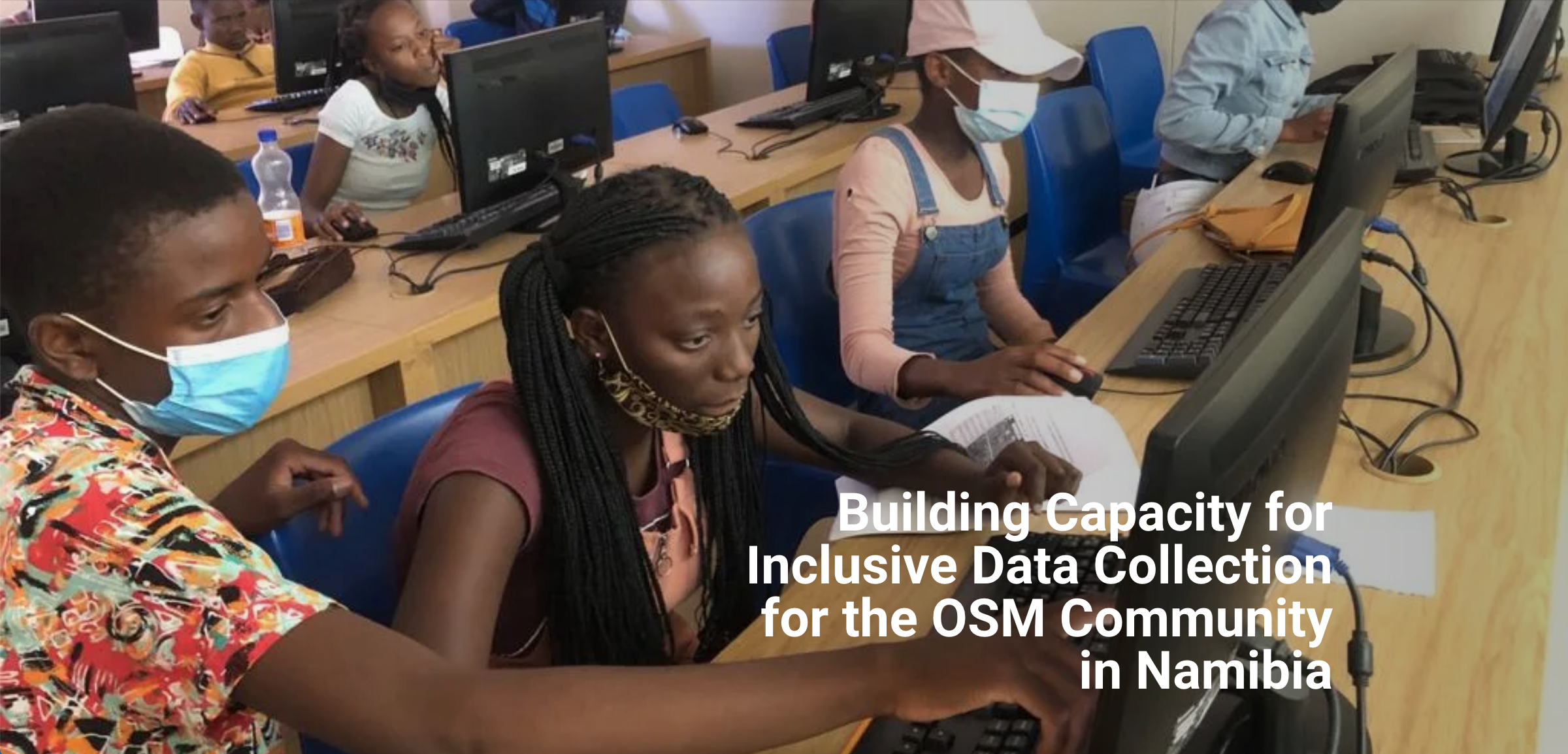
The project has also facilitated the training of different youth and community members in various towns, such as Kavango East- Rundu, Otavi, Rehoboth, and Karibib. The Windhoek team has also introduced OpenStreetMap to councils and communities outside the capital, training 77 members in four towns, including 27 males and 50 females.
Data Use
The data generated will be used to support the upgrading projects of the Shack Dwellers Federation, highlighting the availability of open-source GIS applications such as QGIS. The OSM data will also be used to support the creation and maintenance of land information systems by local authorities in Kavango East, Rundu, Sikanduko, and Ngwangwa. The project has established OpenStreetMap Namibia and organized training and group discussions to create awareness about OpenStreetMap and the importance of remote digital mapping through open data sources. OpenStreetMap Namibia further organized Group discussions in the community to introduce OpenStreetMap and remote digital mapping to the youth and community members residing in the informal settlements of Namibia.
The project is currently in its third phase, which involves introducing OSM to high schools in Windhoek and other universities. In April 2023, a field verification exercise will take place to ensure that what is mapped matches the structures on the ground and their use.