News
Young People Tracing Resilience in San Antonio de Prado, Colombia

Discover the impactful volunteer work of Ana Restrepo and a group of young people in San Antonio de Prado, Colombia. Their focus on collaborative mapping not only identifies areas of risk but also promotes citizen participation and demonstrates how youth and mapping tools can drive significant social change.
Jóvenes Trazando Resiliencia en San Antonio de Prado, Colombia
Descubre el impactante trabajo voluntario de Ana Restrepo y un grupo de jóvenes en San Antonio de Prado, Colombia. Su enfoque en el mapeo colaborativo no solo identifica áreas de riesgo, sino que también fomenta la participación ciudadana y demuestra cómo la juventud y las herramientas de mapeo pueden impulsar un cambio social significativo.
Data sovereignty, open mapping and indigenous territories
Explore how open cartography is transforming the relationship between indigenous communities and their territories in Latin America. Projects discussed at the ABRE LATAM Data Sovereignty, Open Mapping and Indigenous Territories table address challenges such as cultural preservation and the defense of rights. Reflections from experts and concrete experiences highlight the importance of recognizing the diversity and autonomy of these communities.
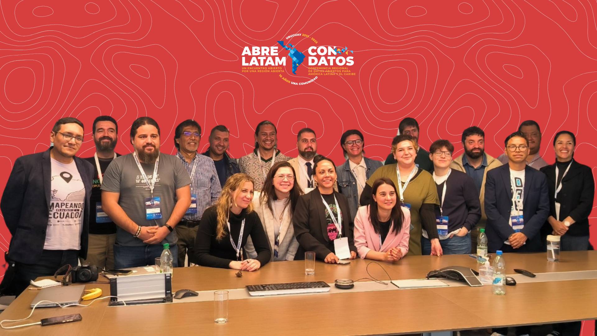
Soberanía de datos, mapeo abierto y territorios indígenas
Explora cómo la cartografía abierta está descubriendo la relación entre comunidades indígenas y sus territorios en América Latina. Proyectos discutidos en la mesa de Soberanía de Datos, Mapeo Abierto y Territorios Indígenas de ABRE LATAM abordan desafíos como la preservación cultural y la defensa de derechos. Reflexiones de expertos y experiencias concretas destacan la importancia de reconocer la diversidad y autonomía de estas comunidades.
Tasking Manager: Insights from the NET Promoter Score Survey
Tasking Manager stands as a key solution in the realm of collaborative mapping, empowering users to contribute to meaningful projects on OpenStreetMap. As part of our commitment to continuous improvement of the tool, we conducted a Net Promoter Score (NPS) survey at the end of December 2023 to delve into the sentiments and experiences of our Tasking Manager users. The invaluable feedback, received from 59 users globally, has opened a window into user satisfaction, areas of strength, and opportunities for enhancement.

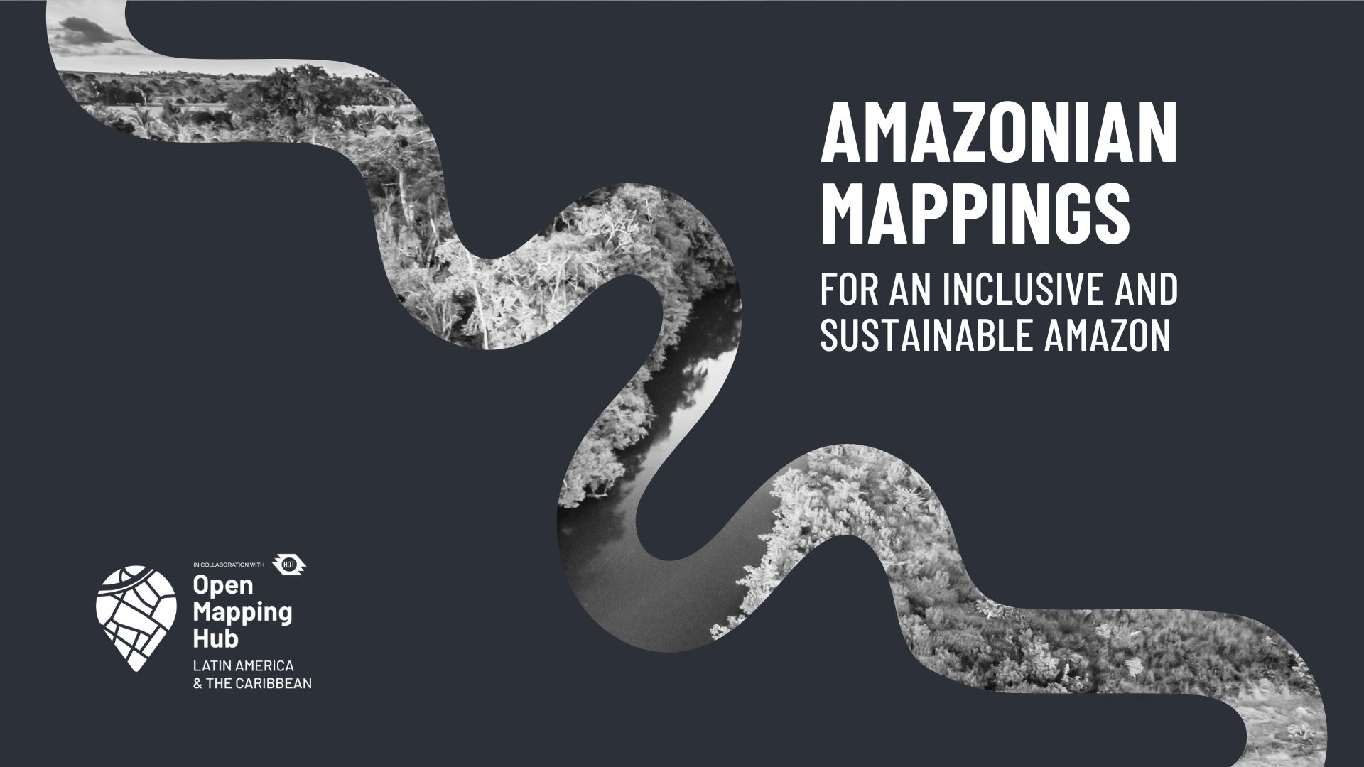
Amazonian Mapping for an Inclusive and Sustainable Amazon
Explore the Amazonian Mapping initiative, a project by the Open Mapping Hub focused on Latin America, highlighting the importance of social impact mapping in the Amazon region. Discover key projects in Colombia, Ecuador, Brazil, and Peru to strengthen prevention, emergency management, sustainable forest management, and community resilience.
Mapeos amazónicos para una Amazonía inclusiva y sostenible
Explora la iniciativa Mapeos Amazónicos, un proyecto del Hub de Mapeo Abierto enfocado en Latinoamérica, que destaca la importancia del mapeo de impacto social en la región amazónica. Descubre proyectos clave en Colombia, Ecuador, Brasil y Perú para fortalecer la prevención, gestión de emergencias, manejo forestal sostenible y resiliencia comunitaria.
.jpg)
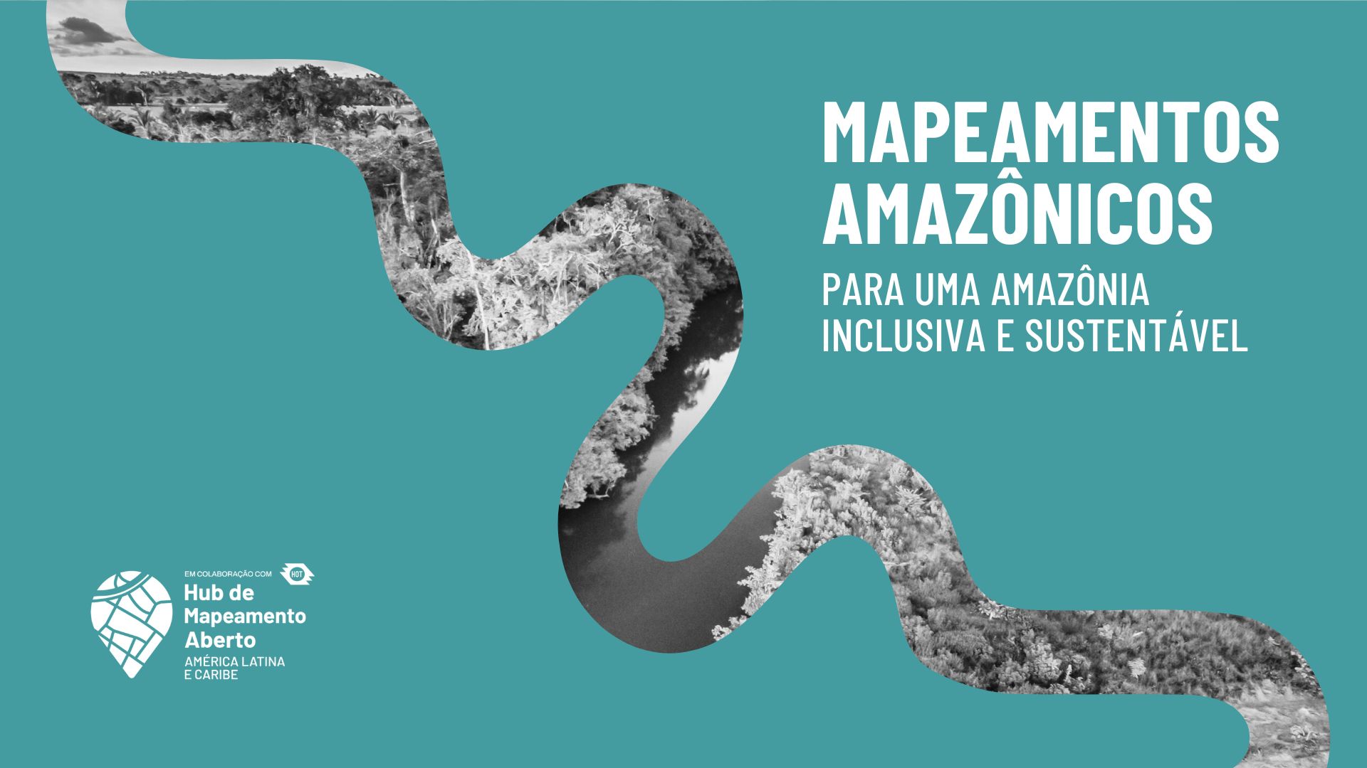
Mapeamentos Amazônicos para uma Amazônia Inclusiva e Sustentável
Explore a iniciativa Mapeamentos Amazônicos, um projeto do Hub de Mapeamento Aberto focado na América Latina, que destaca a importância do mapeamento de impacto social na região amazônica. Descubra projetos-chave na Colômbia, Equador, Brasil e Peru para fortalecer a prevenção, gestão de emergências, manejo florestal sustentável e resiliência comunitária.
Honoring Angela Teyvi, a Leader, Mentor, and Friend
Today, I celebrate a leader, mentor, and a friend, Angela Teyvi.

HOT CommunityWG x Tech&InnovationWG Communications Skillshare Series - what a blast to start the year!
THANK YOU FOR JOINING our Communications Skillshare Series!

Indigenous worldview in community forestry management through open data
Explore the Open Cities Guatemala Project, enhancing Indigenous autonomy in San José Poaquil. Discover the innovative use of geographic data, participatory mapping, and tech-enabled applications in sustainable community forestry management.

Catalyzing Impact: Inaugural Micro-Grants by HOT and Caribbean School of Data
Uncover the impact of transformative geospatial initiatives with HOT and the Caribbean School of Data (CSOD)'s Micro-Grants success story. Explore diverse projects addressing critical community issues in Guyana and Jamaica, and celebrate the innovation as it propels sustainable change, from rice cultivation to climate resilience.

O Hub LAC convoca para fazer parte da Brigada de Mapeamento Humanitário
Junte-se à Brigada de Mapeamento Humanitário do HUB LAC e fortaleça as capacidades locais na América Latina e no Caribe. Participe de respostas efetivas para emergências e promova uma cultura ativa de mapeamento humanitário.

Hub LAC Calls for Participation in the Humanitarian Mapping Brigade
Join the Humanitarian Mapping Brigade of HUB LAC and strengthen local capacities in Latin America and the Caribbean. Participate in effective emergency responses and foster an active culture of humanitarian mapping.

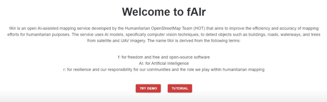
fAIr - what to expect in 2024!
Learn about the most recent updates on HOT’s AI-assisted mapping service (fAIr) and what to expect in 2024!
El Hub LAC convoca a ser parte de la Brigada de Mapeo Humanitario
Únete a la Brigada de Mapeo Humanitario del HUB LAC y fortalece capacidades locales en Latinoamérica y el Caribe. Participa en respuestas efectivas a emergencias y promueve una cultura activa de mapeo humanitario.
