News — 22 February, 2024
Data sovereignty, open mapping and indigenous territories
Explore how open cartography is transforming the relationship between indigenous communities and their territories in Latin America. Projects discussed at the ABRE LATAM Data Sovereignty, Open Mapping and Indigenous Territories table address challenges such as cultural preservation and the defense of rights. Reflections from experts and concrete experiences highlight the importance of recognizing the diversity and autonomy of these communities.
In the development of open mapping projects in the Latin American region, both Humanitarian OpenStreetMap (HOT) and other humanitarian entities, have had the experience of coordinating projects with indigenous communities. These communities usually show interest in taking advantage of their data to exercise their rights, defend their territories and resources, as well as preserve their knowledge and wisdom. However, they also express concern about the reach that this data may have in hands outside the community.
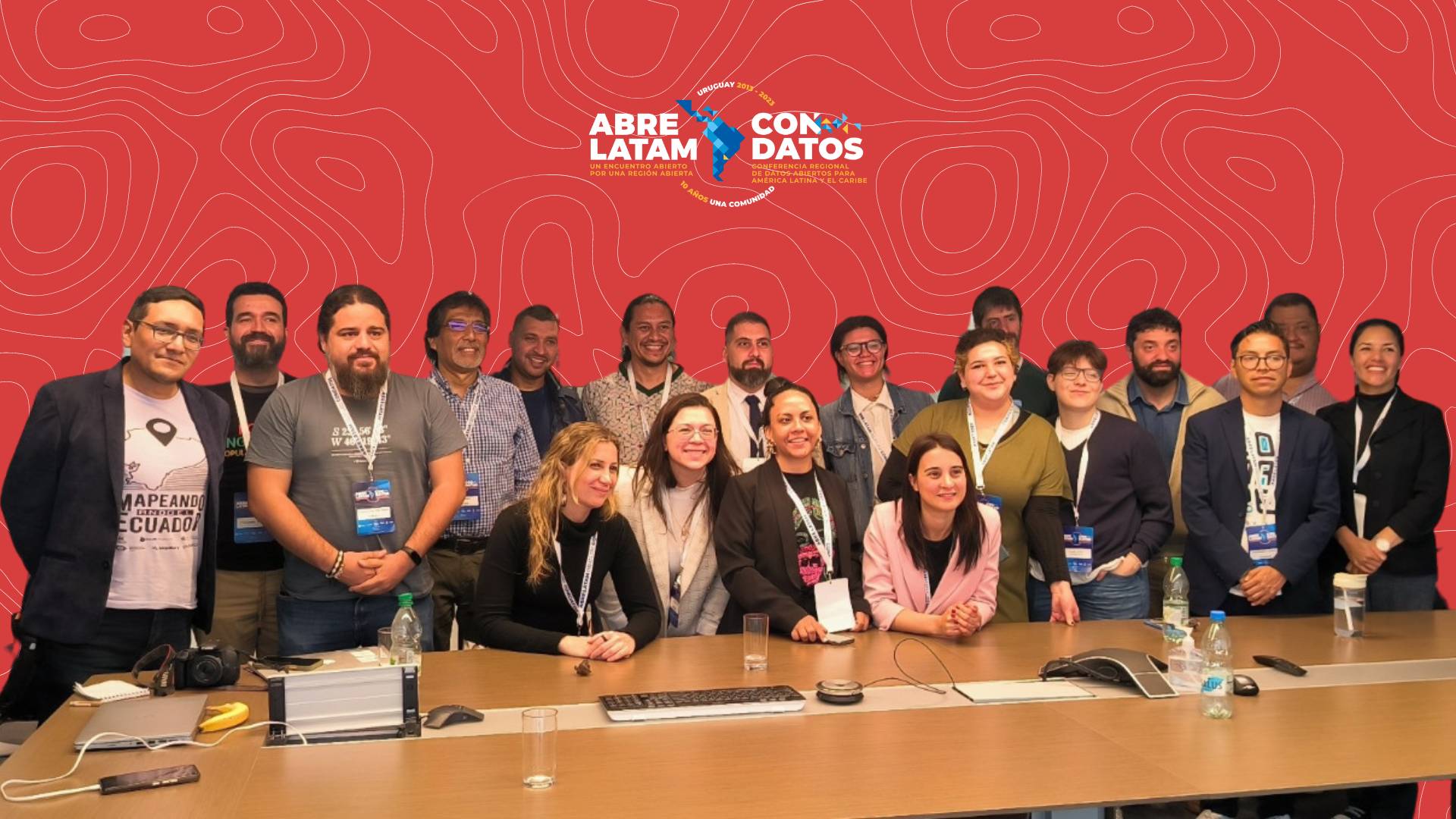
With the aim that the learning achieved can be shared with other project leaders who may need these experiences in the future, and in general with people interested in the topic of indigenous rights, we organized a discussion table in the past AbreLatam / ConDatos called Data Sovereignty, open mapping and indigenous territories.
Thus, this table brought together, on the one hand, professionals with experience in developing projects with indigenous communities in various regions of Latin America, including the Amazon, the Andes and Mesoamerica, mainly. On the other hand, there was the participation of academics, mappers and the general public interested in different aspects of the relationship between technology, rights and indigenous communities.
Participation at the table was remarkably horizontal, allowing all attendees to express their opinions and concerns. However, for the purposes of this text we will highlight the following three interventions.
Sociologist Johnattan Rupire, professor at the University of San Marcos in Lima, who has led educational projects based on OpenStreetMap in the Amazon region of Ucayali, Peru, among other places, raised an interesting reflection. He noted that cartographic resources focus more on the extraction of natural resources than on people, adding that even when people are served there is also a dynamic of cultural extractivism. Given this situation, the question arises: how can cooperative links be established with these groups? To answer this concern, another question is asked:
What does indigenous mean? It is an idea, a political identity that brings together in one concept a super-great diversity of cultures, languages, worldviews and cartographies. For this reason, territorial conflicts can also exist between indigenous peoples. When we are going to intervene in indigenous territories, we must generate a reflection in our working group about who and which of all the indigenous groups we are working with. At the same time, we must recognize the differences in historical processes between indigenous and non-indigenous people, where the power is in that relationship and how we assume the privileges we have. For example, on the OSM Wiki there are no indigenous languages of this continent.
The link between these peoples and the State has not been peaceful, it has been colonial, violent and aggressive in every sense, mainly in the epistemic and cultural sense (worldviews). As is evident from its hegemonic worldview, the State carries invasive and irrelevant development models, imposing urban models (water, drainage, etc.). There are several examples in the Amazon, where towns were moved to the banks of rivers so that they could be within the access ratio to the “public services” of the State. Within the cartographic world, the survival strategy of these peoples has consisted largely of hiding, both in the Andes and in the Amazon. All the projects that have sought to implement new territorial perspectives, economic activities, have implemented maps that have transformed the lives of these people.
There are communities that do not want to be mapped because they need to protect and take care of themselves. Trust must be installed for it to happen. Indigenous communities have the characteristic of having a lot of communication among themselves. It is necessary to “go to the community to introduce yourself, tell them what will be done, what is needed and what you want to do in the territory and with the community.” Reflective effort is necessary to establish these projects. Since we sometimes reinforce inequalities, we must be very careful with our practice.
But, the projects are based on communities; In this sense, those who finance and support must be open to being accountable to the people and the community. You have to know what priorities to have! “You don’t bother me, I don’t bother you.” The danger is in configuring a scenario in which on the one hand there are the Amazonian peoples and on the other “society” in general, the States, reforestation organizations, companies, etc., who confront each other because they are very different from the types of indigenous representative organizations. In this context, universities, NGOs, etc., are the ones who establish a link and mediate.

From a similar experience with indigenous communities in Guatemala, engineer Carlos Duarte, from Geotecnológica, highlights a relevant aspect. In his country, 47% of the population recognizes themselves as indigenous, and there is an additional 25% of the population that is of indigenous origin but, after one or two generations of having migrated to the city, their ways of life change and now They do not identify as indigenous, but as urban. This situation highlights the need to generate sustainable solutions over time, such as the automation of tasks and growth in the number of people involved and the size of the projects.
Before this, the Mayor’s Office had nothing. How did they provide their services? Today, they have access to a platform where the community maps their forest: the extent, what they extract, what they want to be seen and what not. A characterization was carried out of the sources of water for consumption and production, of deforestation, of fires, of sacred sites so that they can only be seen privately and not to the public, among other aspects. This entire process was carried out using QGIS on their mobile phones in the field itself, directly updating their website. It is important to trust the indigenous people! For example, some groups I’ve worked with now develop web platforms.
A project can be cloned with an adaptation to the problem, but extrapolating the methodology to monitor other issues, such as land ownership, violation of human rights, river pollution, extractive industries, among others. This methodology allows generating data that denounces with much more weight, complementing existing testimonies to explain the situation and present formal complaints with justifiable evidence. However, indigenous people feel threatened by drones, as they associate them with private interests that endanger their territory. At the same time, private parties and companies also perceive the threat of indigenous people using drones and strengthening themselves. Very reticent and defensive responses have been observed from these large actors, which suggests that these tools grant power and defense to communities.

Finally, the communicator Leonardo Jiménez, Director of the Center for Studies with Populations, Mobilizations and Territories of the Latin American Autonomous University of Medellín, in Colombia, shared some reflections on topics that he considers important to take into account from his experience working with various urban and rural communities in his country.
In the case of Colombia, it must be highlighted how since the signing of the peace agreements between the Government and the former guerrilla of the Revolutionary Armed Forces of Colombia (FARC), it has been possible to advance in carrying out mapping processes in and with indigenous and peasant communities. This shows how in territories that were previously used for illicit crops, food sovereignty and the preservation of indigenous ancestral cultures are today being strengthened, especially in the Cauca region, the southern region and the Colombian Amazon.
The successful implementation of projects such as those mentioned exemplifies the transformative potential of the mapping and cartography process being decolonized through the map made faithfully to the diversity and reality of the territories, recognizing the voice and autonomy of those who inhabit it. Given this, Fabrizio Scrollini, Director of the Latin America and the Caribbean Hub, presents a crucial reflection: the map is not the map without your identity on it.

For centuries, we believed that our maps represented the state of our territory in the countries of Latin America. But in reality those maps were made by those who had de facto power, not by those who genuinely inhabited, lived and had the right to protect and sustain the territory. The one who maps is the one who ultimately defines what the territory is, and those who have been excluded from these processes (and in Latin America it is a large group) cannot recognize their own space or, in the worst case, it has been taken away.
The diversity of our land is such that cartographic instruments do not capture everything that is possible to know about these territories, their sacred aspects, morphologies and biodiversity that we do not necessarily know or that our language does not capture. A cartographic system like OpenStreetMap, originally created to solve a specific problem in the United Kingdom, will not be able to represent the variety of our ecosystems, unless its cartography also integrates other languages and forms of representation.
Our job is to decolonize the map, and in this process, become more relevant, useful and true for the purposes of the people who are the inhabitants of these lands. In general, these people do not require “heroes or heroines of the north” to rescue them, but rather recognition of their voice, support for the development of their capabilities and respect for the decisions they make regarding their future.