News — 20 February, 2025
Together is Better: The Value of a Network of Allies
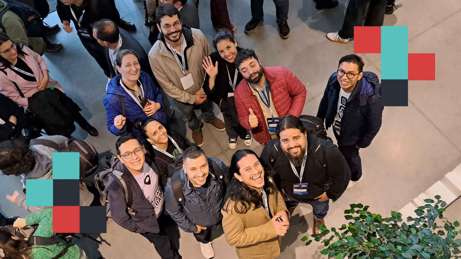
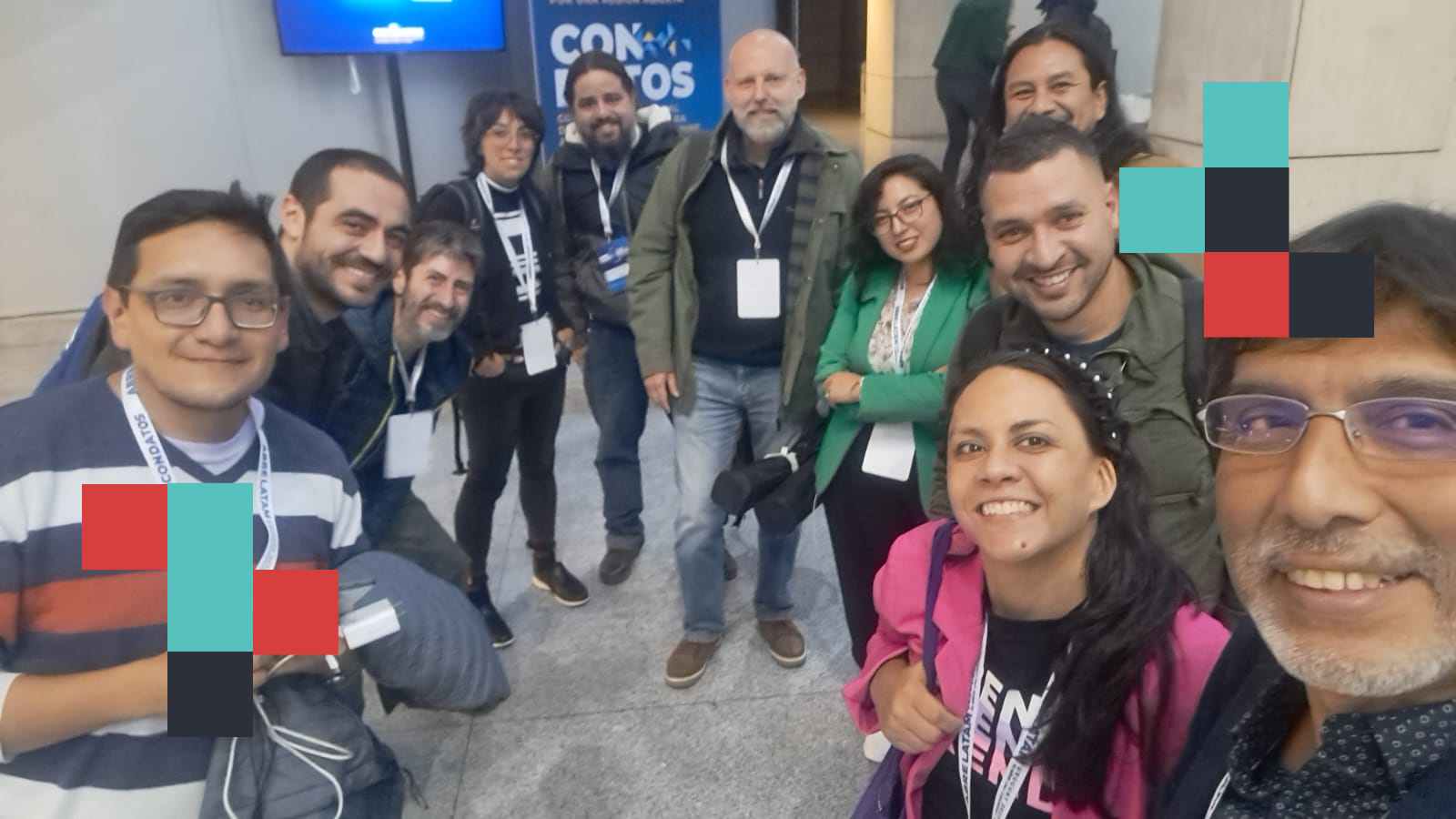
In times of crisis, collaboration is key. The Latin America and Caribbean Hub strengthens humanitarian efforts through a network of allies, driving open mapping to create resilient and sustainable solutions.
Throughout its trajectory, the Latin America and the Caribbean Hub has driven various projects in the region, strengthening and sharing the local knowledge of experts in our areas of work. Over time, these collaborations have evolved into a consolidated network of allies with whom we share goals and learnings.
But who are these allied organizations and individuals? They form a diverse group working across multiple fields: some develop software, others focus on academic research, some promote privacy and free culture, while others have deep experience working with local governments and the private sector. However, they all share one common element: open mapping is a central part of their strategies.
Being allies means much more than collaborating on a project. It involves building opportunities together, strengthening mutual knowledge, and, above all, functioning as an articulated network.
Below, we present some of the organizations and individuals who have become our closest collaborators and strategic allies in the region.
Co.Mapper
We are a community of individuals and organizations interested in developing and improving data to strengthen resilience in societies and local governments. Our focus on collaboration is reflected in every aspect of our work. From data collection to map design and problem-solving, we work together in interdisciplinary teams to tackle complex challenges and find innovative solutions.
Cuauhtemoc reflects: “Our relationship with HOT, exemplified in the public transport project in Zamora, has been key to strengthening collaborative mapping, open data, and the use of free technology. As allies, we have achieved greater local projection and recognition within our community. HOT has provided us with access to technological tools and innovative methodologies, optimizing our mapping and data analysis processes. Additionally, our connection with other organizations has enriched our learning and expanded our impact at an international level.”
Codeando México
We are a nonprofit organization based on an open community. Over the last 10 years, we have collaborated with governments, civil associations, journalists, companies, and volunteers to strengthen the work and impact of individuals, teams, and institutions that influence the public sphere with technology and useful, accessible, and sustainable data projects. People, not tools, are the most important part of the process. All our projects have a community component, knowledge-sharing, and continuous iteration.
Alma Rangel, Director of Codeando México, comments: “Our collaboration with HOT has been key in promoting collaborative mapping in cities like Zitácuaro (2023) and Zamora (2024), as well as in developing public transportation data for Toluca and Oaxaca. Thanks to HOT, we have strengthened our digital cartography capabilities, improved open geospatial data, and provided training to municipalities and local organizations. This alliance has also been fundamental in promoting citizen participation and consolidating volunteer networks, laying the groundwork for sustainable development, climate resilience, and digital inclusion projects.”
Fundación OpenLab
We are a citizen lab in Ecuador, focused on generating dialogues and experiences related to digital culture, citizen participation, and open knowledge. We define ourselves as activists for the free software movement, popular and critical education, citizen science, privacy, open innovation, computational thinking development, and horizontal knowledge exchange. We do it all—debates, courses, hackathons, labs, social projects, mentoring, art exhibitions, mapping, conferences—all from an open and collaborative perspective.
Ivan Terceros, co-founder of OpenLab, highlights: “Thanks to our alliance with HOT, we have connected with various actors committed to improving open geospatial data, risk management, free software, and collaborative mapping. This collaboration has enabled us to develop significant projects such as working with communities near volcanoes, neighborhood mapping to improve local data, and mapping workshops in the Ecuadorian Amazon. Additionally, we have worked with university groups, activists, and professionals from various disciplines, all sensitized to the importance of open geospatial data.”
Meninas da Geo
The Meninas da Geo group is an initiative in the Brazilian Amazon that promotes female empowerment through geotechnology, encouraging women’s participation in Science, Technology, Engineering, and Mathematics (STEM). It collaborates with IFPA and UFRA universities, developing courses, workshops, and events to strengthen knowledge in geotechnology and entrepreneurship. The group also maintains an active presence on social media and produces a podcast on the Amazon and STEM topics.
Professor Tatiana Pará, founder of the group, states: “Our relationship with HOT has opened multiple opportunities for learning, collaboration, and social impact. Thanks to this collaboration, we have received specialized training, access to open data, and technical support, which has improved our skills in humanitarian and digital cartography. This alliance has also strengthened our network, facilitating access to international projects, mentorships, and funding. Additionally, it has driven key initiatives for climate resilience and digital inclusion in the Amazon, consolidating the role of women in democratizing geotechnology in the region.”
Unaula/Pomote
The Latin American Autonomous University (UNAULA), based on its foundational principles—autonomy, co-governance, pluralism, and academic freedom—integrates its functions to provide comprehensive education to the academic community with critical thinking, in the Latin American context, and a transformative vision of social reality. POMOTE – Center for Studies on Populations, Mobilizations, and Territories is dedicated to generating Research, Action, and Participation processes aimed at strengthening the organizational, methodological, narrative, and articulation capacities of social organizations across various regions of Colombia.
Leonardo Jiménez, Director of POMOTE, comments: “The collaboration between the Hub and us, materialized through two cooperation agreements in 2023 and 2024, has significantly contributed to strengthening the university’s articulation with territories and grassroots organizations. It has facilitated the development of training and territorial support experiences, resulting in updated maps of hillside territories, empowering community activists in using free mapping tools, and deepening the understanding of experiences that reclaim territorial rights, community risk management, and the strengthening of community organizations.”
Individual Allies
Alessandra Figuereido
A community researcher focused on risk reduction, disaster management, and climate adaptation in the Brazilian periphery, a popular educator, community mapper, and a civil engineering student at the Federal University of Rio de Janeiro. All the projects I have participated in or am currently involved with—URBE Latam (2020-2023), Data Civil (2023-2024), and Mapa das Periferias (2024)—follow the same line of study. I am currently helping to establish the Estação de Pesquisa Periférica (Peripheral Research Station) to maintain the production of data on Brazilian favelas in the metropolitan region of Rio de Janeiro (BRA).
Alessandra explains: “Collaborating with HOT has helped and continues to help me on multiple levels in the activist, professional, and community work I carry out as an individual, NGO member, and researcher—Urbe Latam. Having access to a regional (LatAm/global) support network to exchange ideas and receive technical assistance is essential for legitimizing humanitarian work, as well as for connecting projects and seeking support.”
Igor Da Mata
Igor Da Mata Oliveira is a Fisheries Engineer, holds a Ph.D. in Oceanography, and is a professor at the Federal University of Alagoas (UFAL), Brazil. His work focuses on the assessment and management of aquatic resources, developing research and projects aimed at the sustainability of aquatic ecosystems, fisheries management, and water resource governance.
Igor shares: “Our collaboration with HOT has been of great value, providing professional support, training, and equipment, while also expanding our visibility, integration, and access to new partners. This support has been crucial, particularly in mapping populations in flood-prone areas in the Lower São Francisco region and its developments, including the creation of low-cost technologies, manuals, and methodological protocols, as well as training in the use of collaborative mapping tools. As a result, we have expanded the availability of geospatial data for disaster prevention and response efforts, strengthening risk management and improving strategies for hydrological assessments, vulnerable population safety, and environmental management.”
Johnattan Rupire
Mg. Jonatthan Rupire is a collaborator and co-founder of the OpenStreetMap Community in Peru. He is also a sociologist and researcher specializing in new technologies, territories, common goods, and cultures. He has served as a university professor at the National University of San Marcos in Lima and other universities in Peru.
Peruvian Amazon communities, such as the Shipibo-Konibo Santa Clara Native Community and others, have strengthened their capabilities through knowledge transfer on technological tools and exchanges with various organizations and individuals. This collaboration has not only expanded their support networks but has also provided access to key resources, such as mobile equipment through donations. These benefits have extended to allied organizations, enhancing collective impact and strengthening community resilience.
Patricia Llanos
Dr. Llanos is a Geographic Engineer specializing in Geographic Information Systems and Remote Sensing, with postgraduate studies in France, Taiwan, and Spain. She has been a research professor at the undergraduate and postgraduate levels since 2015 in various universities within the Bolivian system. She has also worked as a consultant with national and international cooperation organizations in Bolivia.
Patricia states: “I have collaborated on HOT projects such as the Clean-Up Day in 2023 and the Open Data Day in early 2024, as well as supporting the Collaborative Mapping project with the Sapecho community in northern La Paz, Bolivia, in mid-2024. Through the alliance with the Universidad Mayor de San Andrés (UMSA), we have successfully engaged students and rural communities in generating open and accessible data, strengthening their capacities, and empowering local populations. This support has allowed us to address challenges from a comprehensive perspective, combining technical, social, and cultural knowledge, while also promoting the education of young people and adults in the use of open data and collaborative mapping as tools for the country’s development.”
Virgilio Benavides
Virgilio Benavides Hilgert is a specialist and consultant in Geographic Information Systems with extensive experience in disaster risk management, environmental management, statistics, and censuses in Ecuador. He has held key roles as an analyst, coordinator, and authority in various institutions, leading multidisciplinary teams for the development and implementation of information management solutions.
Virgilio highlights: “In collaboration with HOT and the National Secretariat for Risk Management (SNGR), I have participated in multiple initiatives, including response mapping for floods in Esmeraldas in 2022, preventive mapping at the national level in preparation for the El Niño-Southern Oscillation (ENSO) in 2023, and risk mapathons in various cities in 2023 and 2024. These efforts have significantly contributed to strengthening the National Disaster Risk Management System by integrating efforts among communities, academia, local authorities, and technical-scientific entities.”
Where Are We Headed?
Building a network of allies strengthens our capacities and amplifies the impact of our initiatives, but above all, it allows us to activate collective intelligence. In a global context of increasingly complex challenges, humanitarian work requires collaboration and solidarity more than ever. Through knowledge exchange, methodologies, and experiences, co-creating ideas, and adapting to different contexts, this network helps us innovate and respond more effectively to the needs of our communities. More than just sharing tools, we build new approaches, common narratives, strengthen local autonomy, and promote citizen participation to drive sustainable and democratic change.
In an interconnected and constantly evolving world, network-building is key to democratizing access to information, fostering collaborative solutions, and enhancing territorial impact through open mapping. Together, we not only create maps but also chart pathways toward more resilient, inclusive societies capable of facing present challenges with collective intelligence.