News
Humanitarian Mapping in Bahía Blanca: Collaboration in Response to the Emergency

Swift and effective response after the floods in Bahía Blanca, Argentina. The LAC Hub mobilized the humanitarian mapping community to generate key data for response and recovery efforts.
Strengthening Communities in Mangrove Conservation: Drone Technology and Local Collaboration
Discover how collaboration between local communities and the use of lightweight drones are revolutionizing mangrove conservation in Mexico, strengthening territorial management, and promoting community resilience.

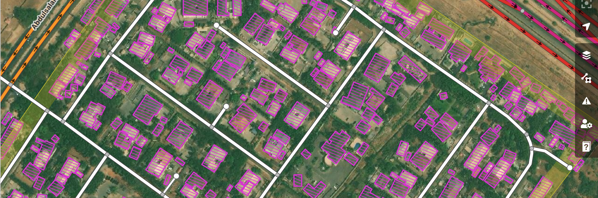
Introducing Street-Level Imagery Projects to MapSwipe4Web!
MapSwipe4Web is launching a new street-level view! Ready to know the details? Read ahead:

Staff Spotlight Series: Kennedy Jomokela
Each quarter, we feature one of our all-star staff members in a Spotlight Series. Staff featured in this Series have been peer-nominated for their superb performance and values-driven work. This quarter, we spotlight Kennedy Jomokela, Project Associate at the Eastern and Southern Africa Hub.

Building DroneTM: A Digital Public Good Solution To Democratize Drone Mapping
Guest blogger Niraj Adhikari, from our partner NAXA, takes us through the motivations that led him to become a geospatial software developer, as well as the highs and lows of developing a groundbreaking product such as DroneTM, making the vision of accessible and community-driven drone-based mapping a reality.

Lebanon's Recovery: Mapping a Path from Rubble to Resilience
Lebanon is grappling with severe destruction and displacement from recent conflict. A data-driven approach using mapping is essential for effective humanitarian aid and long-term recovery. By leveraging mapping tools and community involvement, reconstruction can better address local needs and ensure a sustainable future.

The [geospatial data] have and have-nots: 15 years of bridging the divide
As we celebrate the Humanitarian OpenStreetMap Team’s 15 anniversary, we reflect on the role of community-generated geospatial data in solving many of the core challenges we face this century. How can our wider data-centered international community bring in voices that are often left out?

Fortalecimiento de Comunidades en la Conservación de Manglares: Tecnología de Drones y Colaboración Local
Descubre cómo la colaboración con comunidades locales y el uso de drones ligeros están revolucionando la conservación de los manglares en México, fortaleciendo la gestión territorial y promoviendo la resiliencia comunitaria.

¿Pueden los drones de bajo costo contribuir al monitoreo y conservación de manglares? Probando el Drone Tasking Manager en La Paz, México
Drone Tasking Manager (DroneTM) es un bien digital público que permite a las comunidades generar imágenes aéreas de alta calidad y resolución utilizando drones de bajo costo. Descubre su potencial para el mapeo comunitario y su aplicación en la protección de manglares en La Paz, Baja California Sur, México.

The Paris Chronicles: Attending the AI Action Summit to present our AI-assisted mapping service
In the context of a big, international event such as this year’s AI Action Summit organized by the Paris Peace Forum, HOT’s Petya Kangalova, Tech Partnership and Engagement Lead, and Omran Najjar, Senior Technical Product Owner- AI, reflect on their attendance and the importance of keeping AI developments close to the humans they intend to serve.

Strengthening Disaster Preparedness in Belize Through Youth-Led Open Mapping and Open Data Collection
A cohort of 30 young volunteers in Belize was trained in open data collection and mapping tools to enhance disaster preparedness. The Emergency Resources Mapping pilot, led by HOT in partnership with CDEMA and NEMO, focused on identifying key emergency resources such as hazardous areas and communication towers. The initiative strengthens local capacity for disaster risk reduction and anticipatory action. This successful pilot sets the stage for scaling up open mapping efforts across the Caribbean.

Juntos es Mejor: el Valor de una Red de Aliados
En tiempos de crisis, la colaboración es clave. El Hub de América Latina y el Caribe fortalece el trabajo humanitario con una red de aliadas y aliados, impulsando el mapeo abierto para generar soluciones resilientes y sostenibles.

Together is Better: The Value of a Network of Allies
In times of crisis, collaboration is key. The Latin America and Caribbean Hub strengthens humanitarian efforts through a network of allies, driving open mapping to create resilient and sustainable solutions.
The Results Are In! Enhancing the HOT Tasking Manager Based on Your Feedback
A tool is nothing without its users. Over the years, the HOT Tasking Manager has evolved and improved thanks to the input of all the contributors around the world, who have shared with us what they love and the improvements they would like to see. In this blog, Ramya Ragupathy, the TM product owner, shares key insights from our latest user survey, along with the roadmap for 2025.
Rutas para el Desarrollo: Mapeando Caminos para la Conectividad y el Desarrollo en Guatemala
Descubre cómo el mapatón liderado por HOT y PNUD está transformando la infraestructura vial en Guatemala. Rutas para el Desarrollo ahora cuenta con datos precisos sobre caminos rurales, facilitando la conectividad y el desarrollo territorial. Conoce el impacto de la ciencia ciudadana en la planificación pública.

Mapatones Anuales Anticipatorios: Innovación y Colaboración para Cerrar Vacíos Cartográficos en Latinoamérica y el Caribe
Los Mapatones Nacionales Anuales Anticipatorios (MANA) son una estrategia innovadora para cerrar vacíos cartográficos en América Latina y el Caribe, fortaleciendo la prevención y gestión de riesgos. En 2024, los MANA impactaron en Ecuador, Perú, Colombia y Guatemala, demostrando el poder del mapeo abierto para construir comunidades más resilientes.
