News
Reflections on our “Audacious” Journey

“Do you have an ambitious idea for tackling one of the world’s biggest problems?”
HOT’s Community Support Programs - Going Beyond Microgrants
HOT’s vision is to map an area home to one billion people living in poverty and at high risk of disasters by engaging mappers around the world to massively grow the number of local edits to the map. To kickstart planning, HOT’s Community Team has hosted a series of workshops to understand community perspectives.

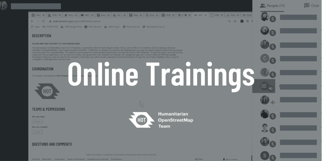
Philippines Continues to Hold OSM Training for Volunteers Online
Despite movement restrictions in the country, HOT Philippines is able to continue training volunteers by identifying their needs and shifting training efforts online.
HOT Microgrants 2019: The Highlights
In 2019, HOT provided Microgrants to eight local, regional, and national organizations around the world. Here are some highlights of their work.
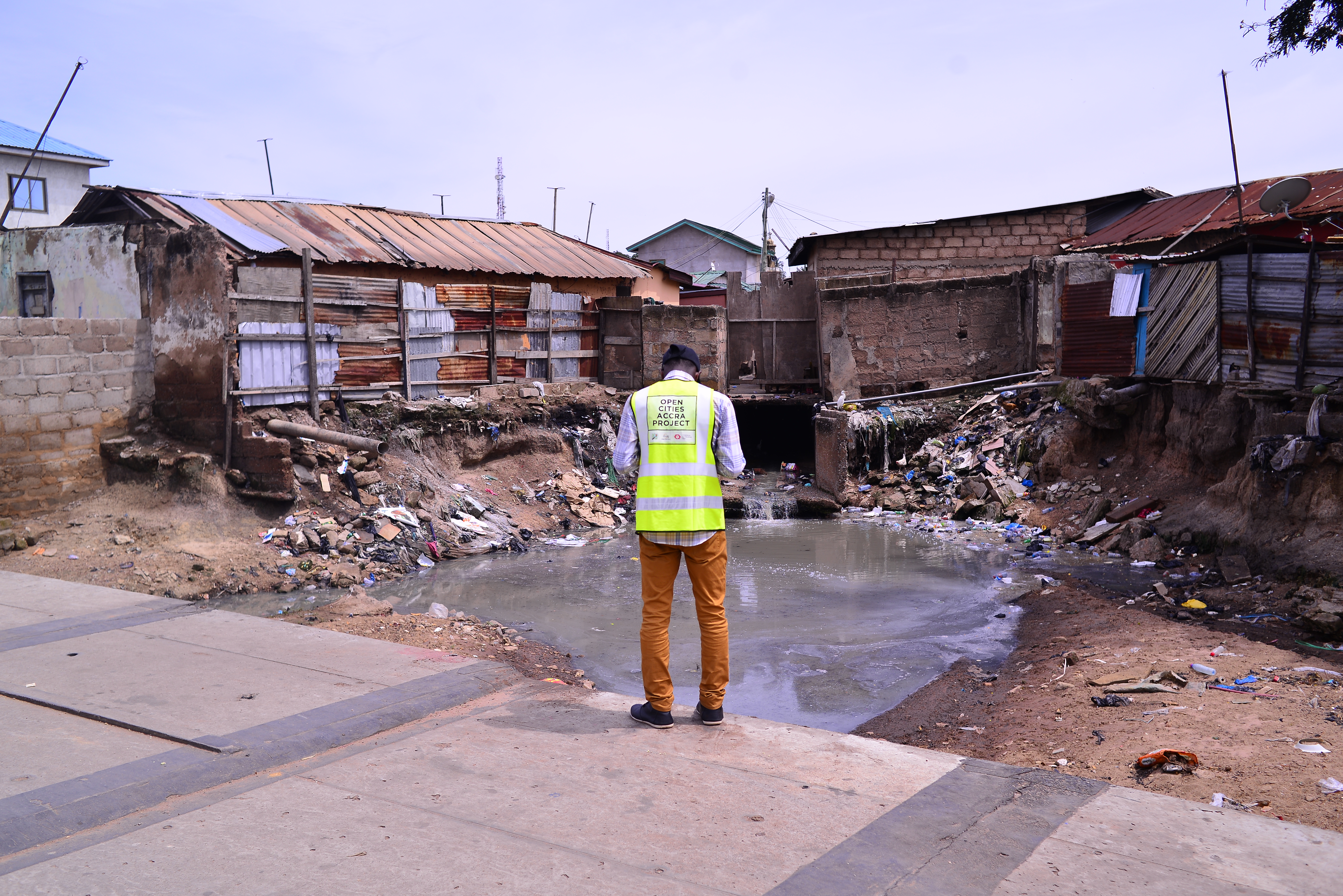
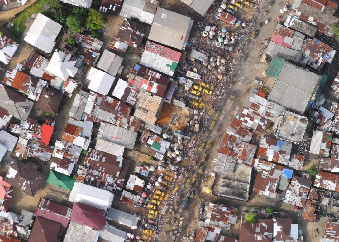
HOT Supporting the Greater Accra Resilient and Integrated Development Project to Protect Communities from Flooding
Flooding has plagued the Ghanaian capital of Accra for years, so HOT worked with Mobile Web Ghana and OpenStreetMap Ghana to develop data on local buildings, drainage, and infrastructure that communities and municipal authorities could use to make vulnerable neighborhoods more resilient.
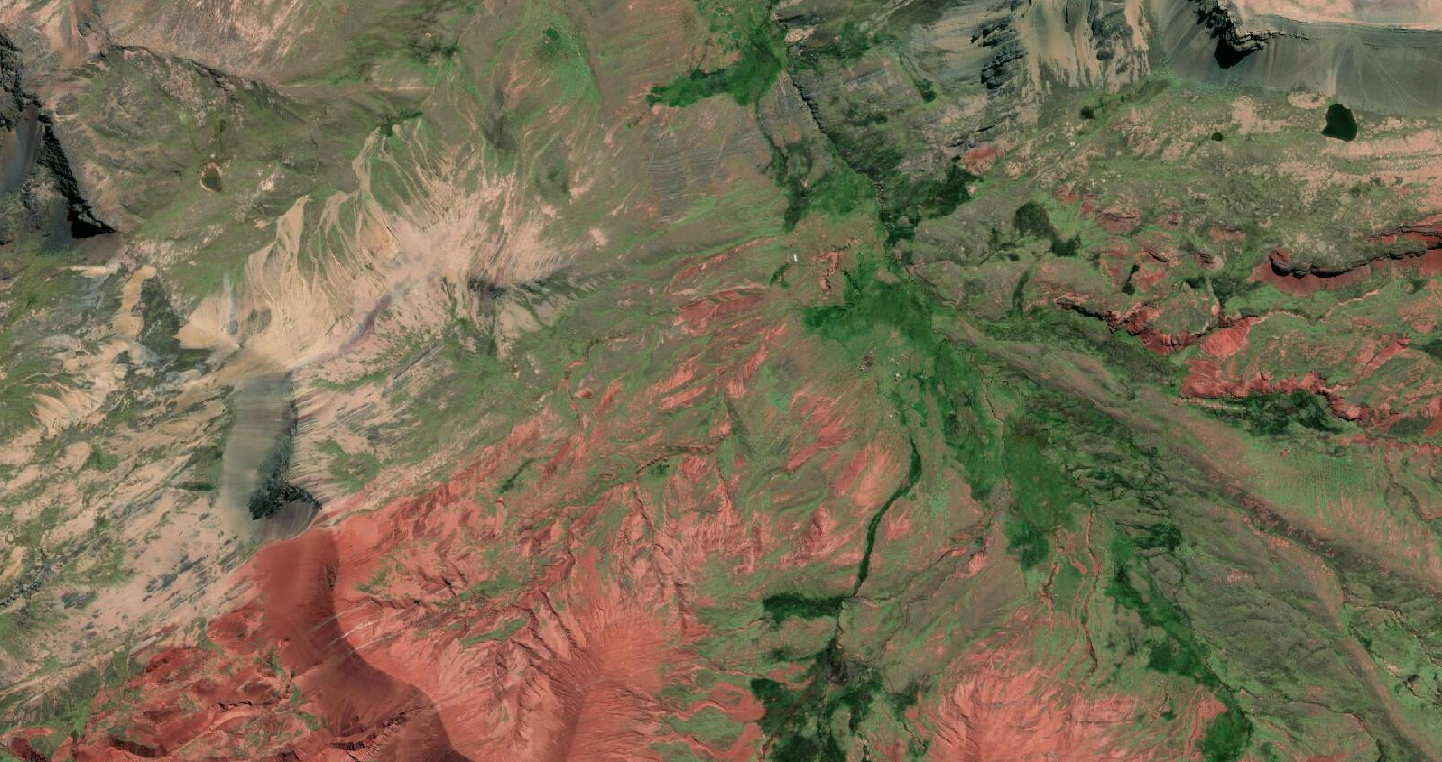
Four regions, five years, 94 countries, one billion people
In 2019, the HOT community developed a Strategic Plan, which stated an audacious goal: to map an area home to one billion people in OpenStreetMap. But one key question remained: where?

The Audacious Project
The HOT community received funding from The Audacious Project, a collaborative philanthropic initiative that serves as a springboard for social impact on a grand scale. Over the next five years, this funding will enable HOT to scale up its support to local mapping communities with the aim of mapping an area home to one billion people, adding places at high risk of natural disaster or experiencing poverty.

What if we could map an area home to one billion people currently missing from the world’s maps?
We are honored and excited to announce that the HOT community is one of eight recipients of funding from The Audacious Project, a collaborative philanthropic initiative that serves as a springboard for social impact on a grand scale.

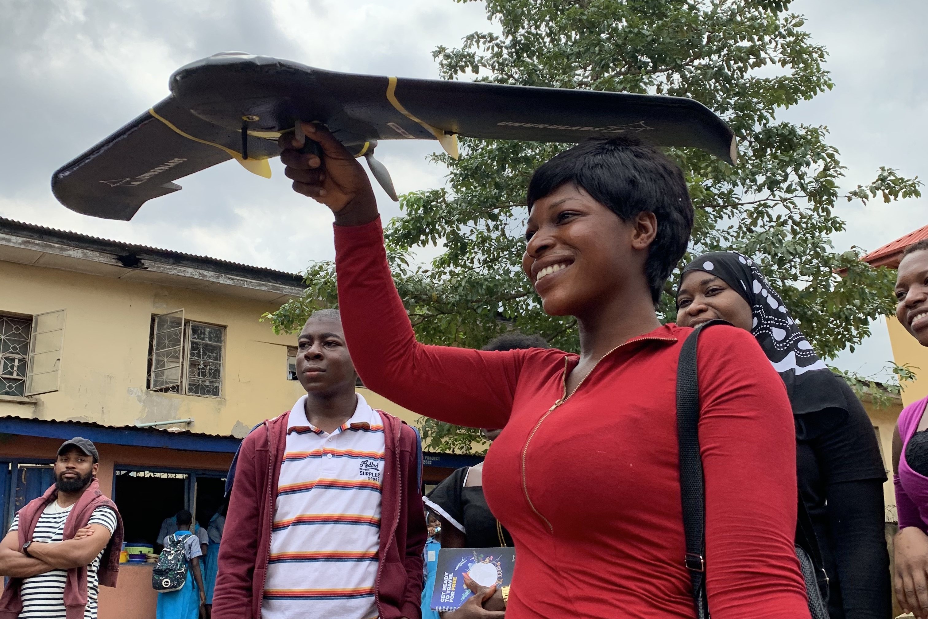
HOT and iLab Liberia Exploring the Potential of Machine Learning to Augment Human Mappers in Monrovia
HOT worked with iLab Liberia in Monrovia to test the potential of machine learning algorithms to automate repetitive mapping tasks and highlight areas in need of updating to maximize the impact of human mappers.
How we measure the effects of AI-assisted mapping
Over the past two years, HOT has taken a leadership role in exploring and facilitating the application of the latest advances in artificial intelligence.

HOT Indonesia’s COVID-19 online training platform
On-site training is a regular activity for HOT Indonesia with staff traveling across the nation to conduct training sessions

Shifting to virtual: adapting HOT’s global work for COVID-19
Although COVID-19 brings a number of obvious challenges to daily life for people across the world, the crisis has demonstrated the widespread desire to help by mapping to support COVID-19 responders worldwide.
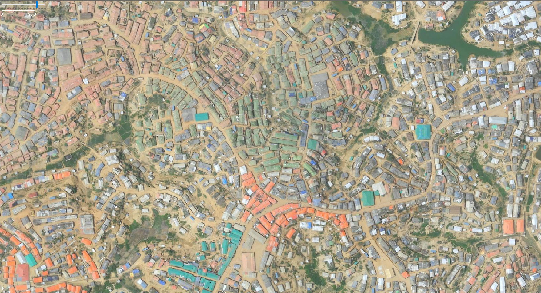
Mapping Energy Saving Solutions in One of the Largest Refugee Settlements in Africa
In February 2020, HOT with support from the Response Innovation Lab in Uganda, carried out an extensive mapping exercise of all energy-saving solutions retail shops in Bidibidi settlement to better understand the existing market and inform the improvement of access to quality energy-saving products amongst the refugee population.

Mapping in the Times of COVID-19 and How You Can Help
As the world takes action against the COVID-19 outbreak, here is how you can help.
Understanding Hazards, Exposure, and Vulnerability in northwestern Uganda
In collaboration with United Nations’ Development Program (UNDP) and the Ugandan Office of the Prime Minister, HOT developed the first-ever spatially-focused Risk Atlas of Arua District, containing maps, granular data, and analyses of the existing hazards, exposure, and vulnerabilities to communities in northwestern Uganda.

Haiti 10 Years Later: Growth of a Humanitarian Mapping Community
Ten years ago this week, on 12 January 2010, Haiti experienced a devastating earthquake - one of the worst disasters in recent history. Within...
-205990.png)