News
Indonesia’s Mapping Design Competition: LOKAVISTA

From September to November 2020, HOT Indonesia organized a mapping design competition called LOKAVISTA for university students across the nation. Our mission was simple: to increase the public awareness that OpenStreetMap data can be utilized for many purposes and different aspects of life.
Equipping University Students with Digital Geospatial Skills: More than 10,000 Flood Data Points Mapped in Eight Weeks
Ramani Huria has been training students in Dar es Salaam and equipping them with industrial and technical skills for the 21st Century while generating vital high-precision, low-cost data for flood prediction and preparedness.

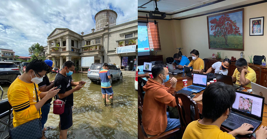
Philippines Celebrates International Day for Disaster Risk Reduction with Field Narratives
In celebration of IDDRR, HOT Philippines shares more of the fieldwork they are conducting in Pampanga — including coordinating with LGUs, training volunteers, and collecting field data.
Community Mapping for Urban Risk in Mwanza, Tanzania
Spatial Collective, Humanitarian OpenStreetMap Team, and OpenMap Development Tanzania extend their engagement to Mwanza

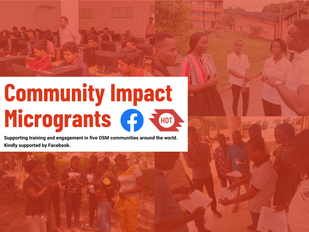
Five OpenStreetMap Communities Receive Facebook Community Impact Microgrants
Five OSM communities, spread across the Philippines, Turkey, Uganda, Kenya, and Zambia, have received Facebook Community Impact Microgrants to support community engagement and training.
Using Low-Cost Equipment to Gather High Precision Data for Flood Modeling
In collaboration with Deltares and with funding from GIZ, OMDTZ was able to collect accurate and precise river cross-section surveys using an innovative, low-cost technique developed by the Resilience Academy and OMDTZ.

Supporting Istanbul’s Open Data Efforts
BİMTAŞ A.Ş. and HOT partner Yer Çizenler are working together to put the Istanbul Planning Agency campus on OpenStreetMap.

Philippines Completes Remote Mapping and Validation for Pampanga
On September 21, 2020, the Philippine mapping team finished remote mapping and validation for the whole of Pampanga.
Supporting Coronavirus Response Through Mapping in Liberia (by iLab Liberia)
In May 2020, iLab Liberia was awarded a microgrant as part of the Humanitarian OpenStreetMap Team’s (HOT) Rapid Response Microgrant: COVID-19 Program. Here’s iLab’s community blogpost detailing their project.

The State of OpenStreetMap in Africa
In the run-up to the 2020 State of the Map conference, OSM Africa surveyed OpenStreetMap community leaders across the continent. Geoffrey Kateregga looks at the results and offers a deep dive into the state and trajectory of OpenStreetMap communities in Africa.

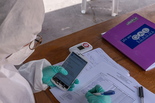
Covid-19 Pandemic in Peru: Mapping Health Implications
As Peru struggles with the impacts of Covid-19, HOT and GAL Group are helping public health officials at all levels of government plan how to support communities by mapping rural and vulnerable populations in the Cusco region.
Reflections on our “Audacious” Journey
“Do you have an ambitious idea for tackling one of the world’s biggest problems?”

HOT’s Community Support Programs - Going Beyond Microgrants
HOT’s vision is to map an area home to one billion people living in poverty and at high risk of disasters by engaging mappers around the world to massively grow the number of local edits to the map. To kickstart planning, HOT’s Community Team has hosted a series of workshops to understand community perspectives.

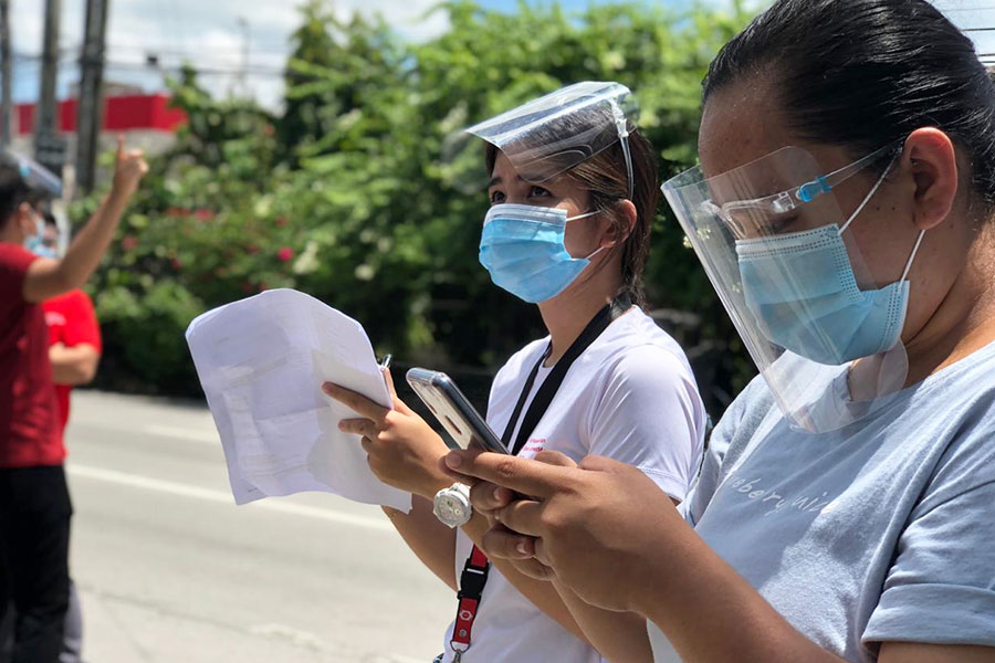
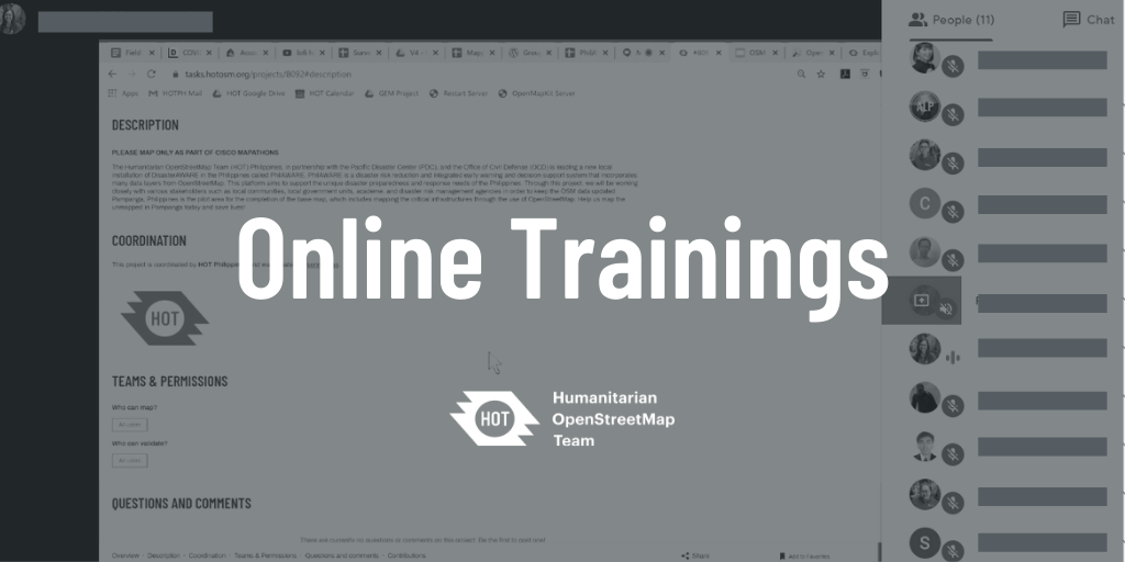
Philippines Continues to Hold OSM Training for Volunteers Online
Despite movement restrictions in the country, HOT Philippines is able to continue training volunteers by identifying their needs and shifting training efforts online.
HOT Microgrants 2019: The Highlights
In 2019, HOT provided Microgrants to eight local, regional, and national organizations around the world. Here are some highlights of their work.
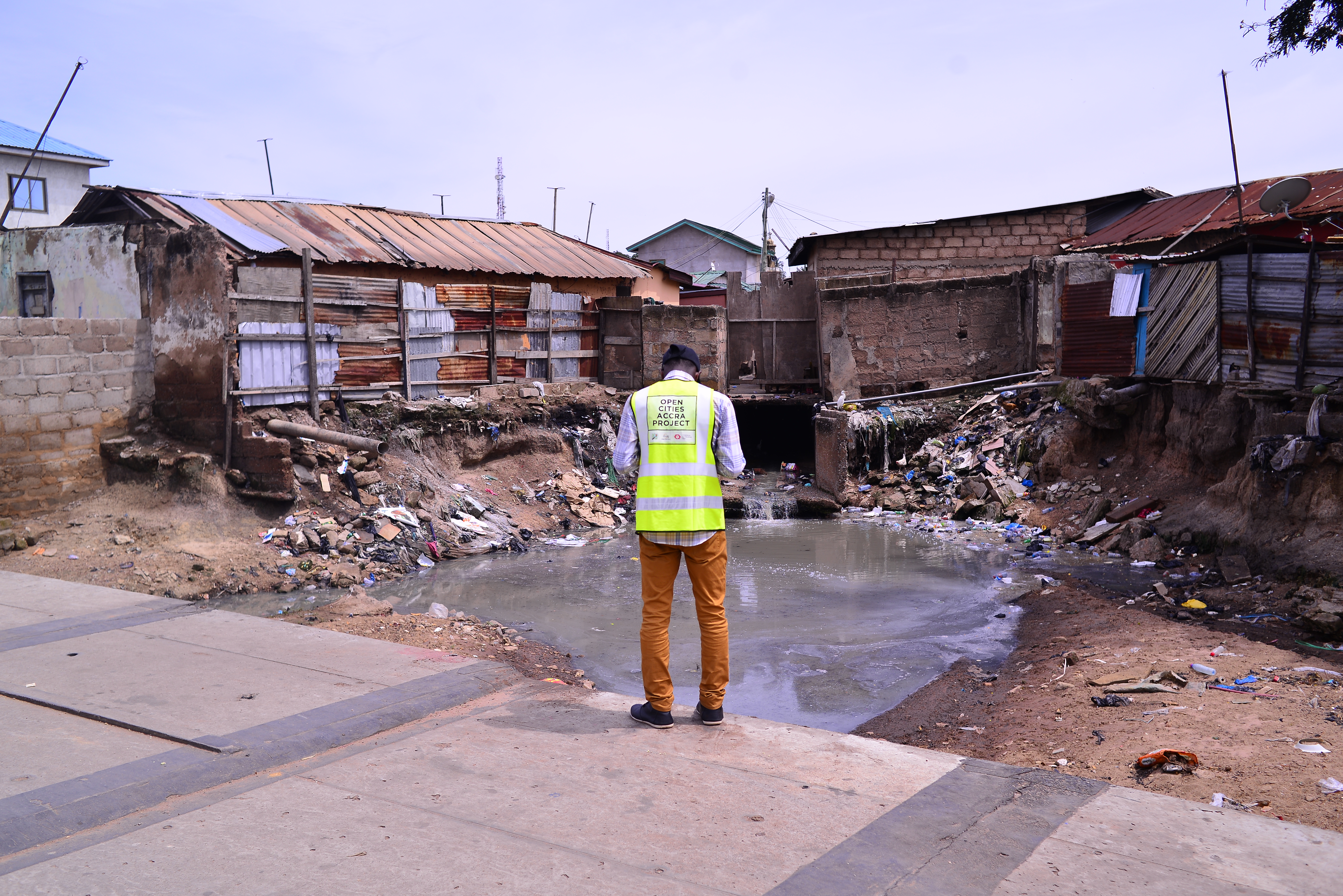
HOT Supporting the Greater Accra Resilient and Integrated Development Project to Protect Communities from Flooding
Flooding has plagued the Ghanaian capital of Accra for years, so HOT worked with Mobile Web Ghana and OpenStreetMap Ghana to develop data on local buildings, drainage, and infrastructure that communities and municipal authorities could use to make vulnerable neighborhoods more resilient.