News
A Joint Approach to Facilitate Covid-19 Vaccine Delivery
"Rolling out a vaccine against Covid-19 is the most pressing challenge of our time - and nobody wins the race until everyone wins." - Global Alliance for Vaccines and Immunization - GAVI
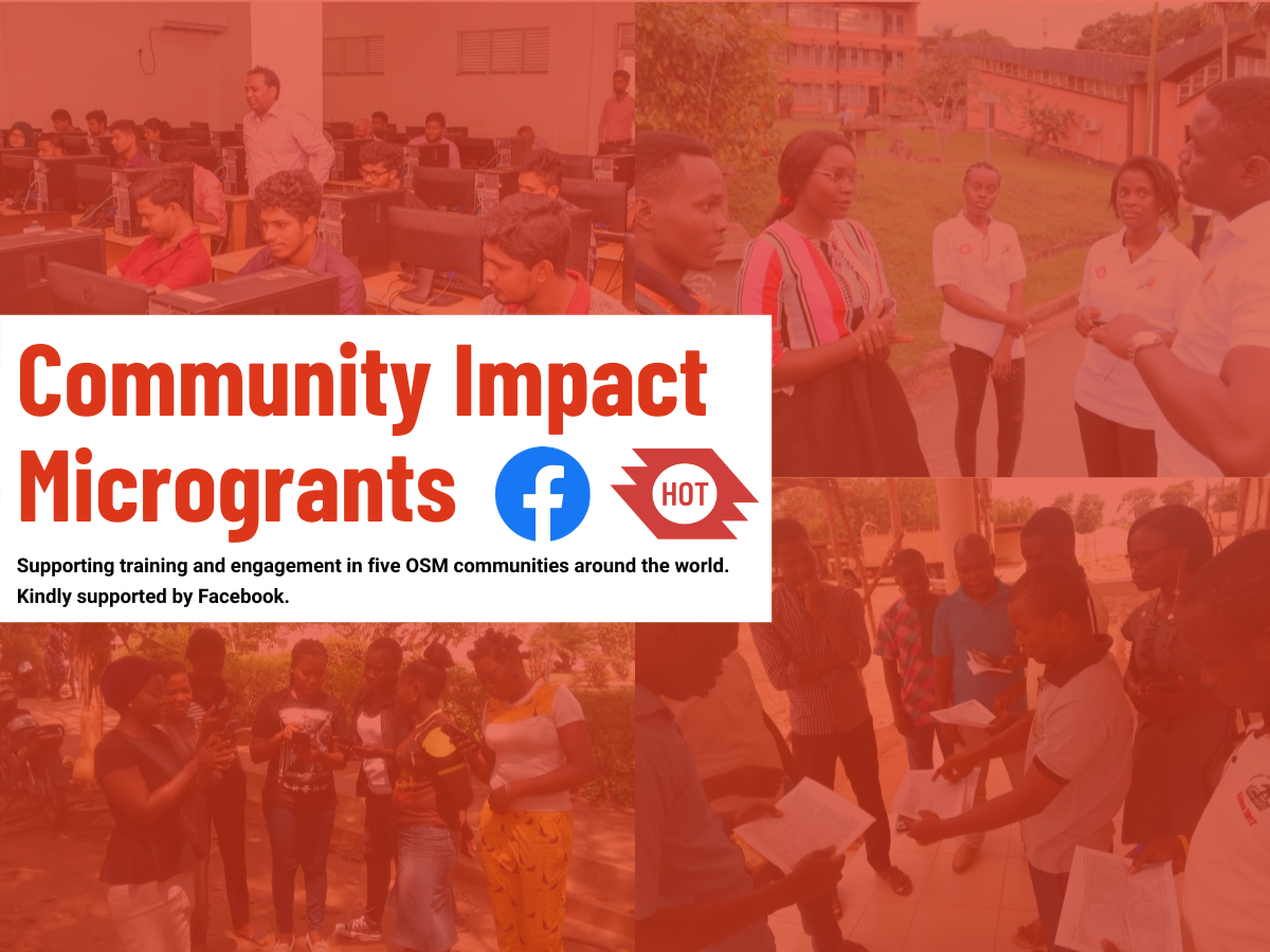
Asia and the Pacific Hub launches Facebook Community Impact Microgrants
Three communities in the Asia-Pacific have been selected as recipients of the Facebook Community Impact Microgrant. Congratulations to OSM Fiji, MapBeks in the Philippines, and the Geomatics Engineering Society at Kathmandu University!
Building a Global Network to Map for COVID-19 Response
With support from the Humanitarian-to-Humanitarian Network, HOT has engaged the global humanitarian mapping community to support local Covid-19 responses in the biggest disaster activation in HOT's history.
Resilience Mappers from Uganda is our Summit 2020 Microgrant awardee!
Congratulations to Resilience Mappers for being selected as the recipient of the hOSM Summit 2020 microgrant!
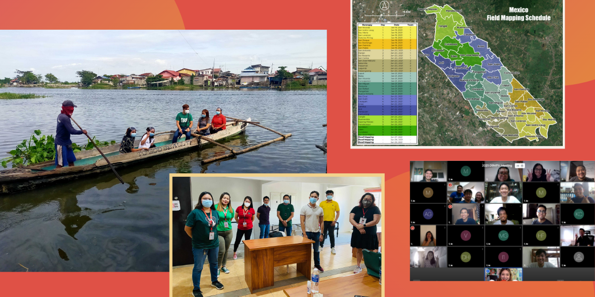
January 2021: New Field Mapping Strategy, Data Validator Selection, OSMPH Meeting — HOT Philippines
In order to speed up the validation process for the PhilAWARE project, the HOT Philippines team is opening a validator selection process for local volunteers. OpenStreetMap Philippines also held our annual planning this month.
Community Data for Improved Disaster Management and Urban Planning — Mwanza, Tanzania (by OMDTZ)
OpenMap Development Tanzania reports on mapping and capacity building in Mwanza City, Tanzania.
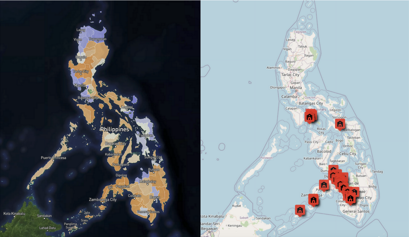
LGBT advocates and allies map the most unmapped towns in the Philippines on OpenStreetMap (by MapBeks)
With support from a Facebook Community Impact Microgrant, MapBeks and the Philippine mapping community have been working to map the most remote and unmapped towns in the Philippines.
Developing a Web Map Repository of Kampala’s Informal Settlements (by Resilience Mappers)
Resilience Mappers has built a web dashboard for geospatial data to support efforts by the Ugandan government to help residents of low-income communities who have been most affected by Covid-19 lockdowns.
Mapping Makoko Using Drones and Canoes
A floating inner-city slum is in the process of being mapped to make a case for improved public services and land ownership.
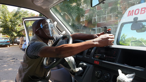
Using OpenStreetMap Data to Support Emergency Ambulance Response Service and Mapping of COVID-19 Amenities in Northeast Nigeria (by Humanitarian Mappers)
Humanitarian Mappers of Nigeria is using collaborative mapping to track Covid and improve ambulance services in a region already facing insecurity and conflict.
Population Counts: Aiming humanitarian mappers at populated areas with Disaster Ninja (by Kontur)
Correlating OpenStreetMap data with population density helps activate disaster mapping solely where it has humanitarian impact.
Community Impact Program (by Yer Çizenler)
Yer Çizenler is adding Turkish language support to OpenStreetMap related tools, translating existing OpenStreetMap documents into Turkish and expanding the infrastructure of Yer Çizenler’s volunteer base while considering gender equality and community diversity.
Activity Summary of PDC Indonesia 2020
We are very close to the end of 2020. Pacific Disaster Center (PDC) Indonesia has many magnificent stories to share and activities that we have accomplished in 2020. We have categorized our activities into three different categories: Capacity Development, COVID-19 Response, Community Engagement.
Crowdmapping in the Midst of a Pandemic (by Map Kibera)
Map Kibera shares their experience crowdmapping during the Covid-19 pandemic to create public health data in Kenya.
The PhilAWARE Project: A Year-End Report
This year, remote mapping for Quezon City and the Province of Pampanga were completed, and a new pilot area, Marikina City, was added. Furthermore, field data collection has progressed well in Pampanga despite the pandemic.


