News
América Abierta 2022, the challenge of open data
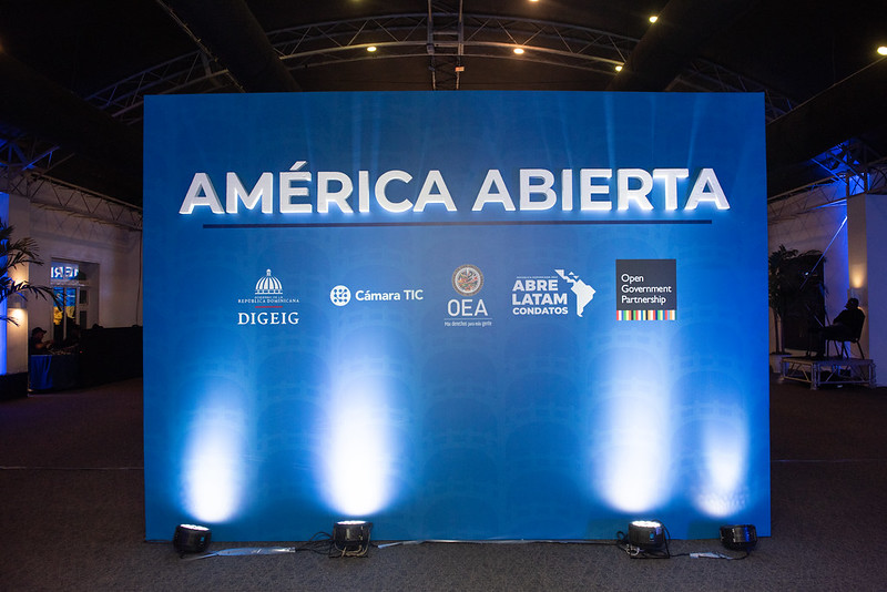
América Abierta, formerly known as AbreLatam/ConDatos, is the regional event on open data and open government, which brings together organizations and individuals working on these issues.
América Abierta 2022, o desafio dos dados abertos
O América Abierta, anteriormente conhecido como AbreLatam/ConDatos, é o evento regional sobre dados abertos e governo aberto, que reúne organizações e indivíduos que trabalham nessas questões.
América Abierta 2022, el reto de los datos abiertos
América Abierta, antes conocido como AbreLatam/ConDatos, es el evento regional sobre datos abiertos y gobierno abierto, que reúne a organizaciones e individuos que trabajan en estos temas.
Cayambe: Risk management in volcanic areas
Risk management in volcanic areas in Ecuador is a necessary activity in which open mapping plays an important role. From the LATAM Hub we took a first step to achieve this goal.

Cayambe: Gestão de risco em áreas vulcânicas
A gestão de risco em áreas vulcânicas no Equador é uma atividade necessária na qual o mapeamento aberto desempenha um papel importante. A partir do Hub demos um primeiro passo para atingir esse objetivo.
Cayambe: Gestión de riesgo en áreas volcánicas
La Gestión de riesgos en areas volcánicas en Ecuador es una actividad necesaria en la cual el mapeo abierto tiene un papel importante. Desde el Hub dimos un primer paso para lograr dicho objetivo.
Lessons Learned from the Wikimedia Summit 2022
On September 9-11, 2022, I attended the Wikimedia Summit 2022 in Berlin, Germany as a representative of the Wikimedia Community User Group in Uganda. As someone who belongs to several communities, I was interested in learning from the Wikimedia community lessons that could be replicated by the OpenStreetMap community.

100% pay, 80% hours, 100% productivity: Can we create a more equitable workplace through a 4 day work week?
In the next iteration of our innovative approaches to work, HOT is piloting a voluntary, 4-day work week as part of a global initiative exploring how reduced time can result in increased productivity

Working together for better OSM data quality
What we learned at State of the Map 2022
HOT Voting Membership - Welcome 50 New Members!
We are happy to announce that 50 new members have been elected to HOT’s Voting Membership (VM)! HOT’s Voting Membership has grown to 266 members from all across the globe. These 50 new members come from 29 different countries and are helping us build a more diverse and equitable community. A few insights about how our membership is changing.

Reflections and experiences of HOT Data Quality Intern 2021, Rabi Shrestha
Why did you choose to apply for the internship?
Canoa de Tolda: Representing the social dynamics of the São Francisco River through mapping
Early results of HOT's collaboration with Canoa de Tolda to make the social dynamics of the São Francisco River visible through open mapping and the use of drones and other technologies.

Canoa de Tolda: Mapeo para visibilizar la dinámica social del Río São Francisco
Conozca los primeros resultados de la alianza de HOT con Canoa de Tolda para visibilizar la dinámica social del Río São Francisco mediante el mapeo abierto y el uso de drones y otras tecnologías.
Canoa de Tolda: Mapeamento para visualizar a dinâmica social do Rio São Francisco
Conheça os primeiros resultados da parceria da HOT com a Canoa de Tolda para tornar visível a dinâmica social do Rio São Francisco por meio de mapeamento aberto e uso de drones e outras tecnologias.
O mapeamento de campo é o futuro: um fluxo de trabalho do gerenciador de tarefas usando o ODK
O mapeamento de campo pela população local é fundamental para o futuro do mapeamento aberto. No entanto, as ferramentas hoje disponíveis – apesar de...
