News — 24 March, 2020
Mapping in the Times of COVID-19 and How You Can Help

As the world takes action against the COVID-19 outbreak, here is how you can help.
We are living in unprecedented times and for many of us, uncertainty is running high. The outbreak of COVID-19 is one of the greatest challenges that we’re having to face as a global community. More than anything, we’re asking everyone in the global mapping community to follow their respective governments’ guidelines and do what they can to remain safe and healthy.
For many of us, following our governments’ guidelines means staying indoors and not meeting with others. Living in isolation and watching countries take one unprecedented measure after another might make it feel like the world has stopped. It hasn’t. Maps and the ability to get from A to B remain important, particularly to patients, first responders and health-care workers, and, indeed, to secure the efficient transportation of goods and supplies.
So although many of us have to stay in, there are still ways that we can help—by simply improving the map. We’ve been talking with the mapping community to find out what the current mapping priorities are and how you can help. Here are some of the mapping attributes that are increasingly important in the current environment:
-
Hospitals/clinics including facilities and surrounds: This includes the opening hours, addresses, services provided, building outlines, and helipads for countries where air ambulances are commonly used.
-
Pharmacies: Opening hours, locations and addresses.
-
Supermarkets, marketplaces, and convenience stores: Opening hours, locations and addresses.
-
Banks, ATMs, electronic money transfers: Particularly important with global economic disruption.
We highly encourage mapping some of the above features in an area you care about. There are also some existing tasks that you can help complete.
-
Hospitals in the Philippines with MapRoulette
-
Global health sites mapping with Healthsites
-
Health care clinic information globally with MapContrib
-
Hospital outlines and surrounds in Qom, Iran with MapRoulette
-
Hospital outlines and surrounds in Tehran province, Iran with MapRoulette
-
Importing pharmacies in Catalonia, Spain with OSM Tasking Manager
-
Enriching hospital data in Istanbul with MapRoulette
Virtual Mapathons to look for
-
Philippines: Local OpenStreetMap groups and OsGeo in the Philippines are coordinating a mapathon scheduled for Wednesday, March 25th, so stay tuned and join the conversation on #mapatime & #mapagaling. You should also check out their new Twitter account.
-
Melbourne: See Maptime Melbourne’s event page and follow them on Twitter for an upcoming April mapathon.
-
USA: Follow OpenStreetMapUS for an upcoming live mapathon on April 1st.
-
Missing Maps April Mapathon: 7 April 19:00 – 22:00 BST
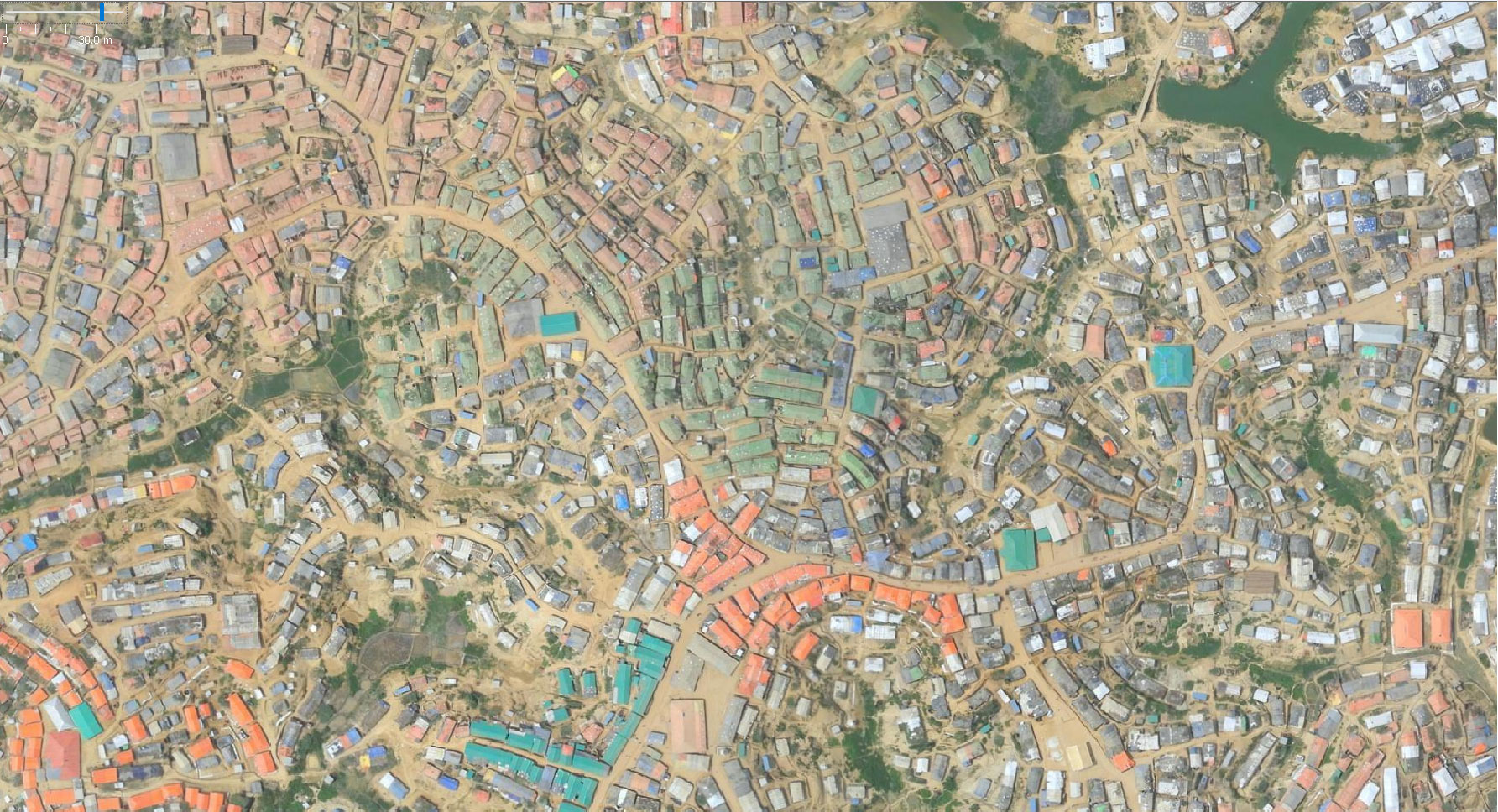
With much of the world staying in, we also know that deliveries are bound to go up and your local delivery company will likely have to fit in more deliveries in a shorter period of time. People who transport food, medicine, and other supplies still need to move and they are highly dependent on maps. You can help them by improving the map in your local area, or any area, by using satellite and street-level imagery to mark out driveways and add addresses in OpenStreetMap. Consider mapping the addresses of your loved ones, particularly those who are most vulnerable. Many routing engines rely on data within OpenStreetMap, so this can make it easier to coordinate deliveries by ensuring these locations show up as a destination.
We still don’t know how the situation will continue to develop in different parts of the world and the best thing we can do is to stay tuned to our governments’ guidelines. In the meantime, feel free to help us put crucial information on the map.
We’d like to thank everyone who has already started mapping in an effort to help out. Hopefully, this post provides guidance on what can still be done. Stay safe out there.
Ed Neerhut, Mapillary; Maggie Cawley, OpenStreetMap US; Tyler Radford, Humanitarian OpenStreetMap Team; Miriam Gonzalez, GeoChicas

