News — 09 August, 2024
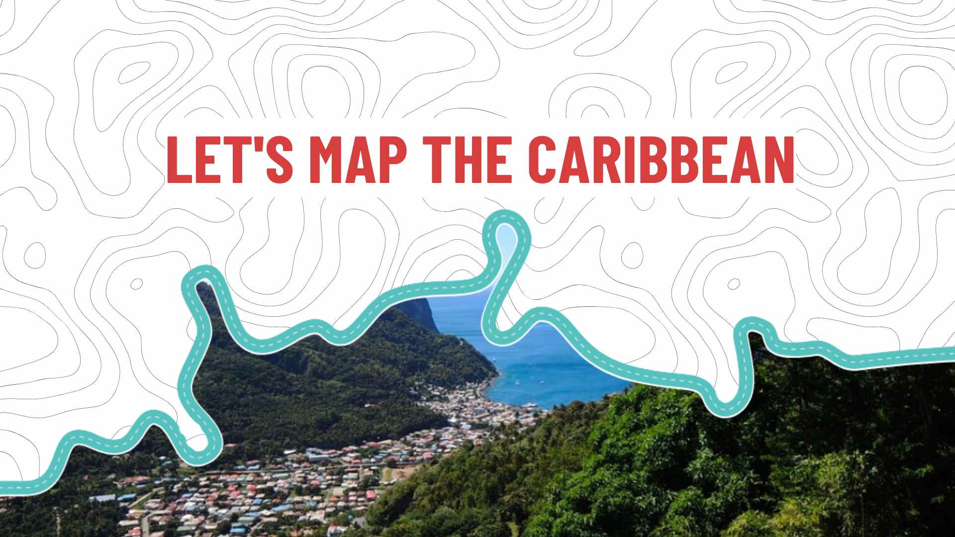
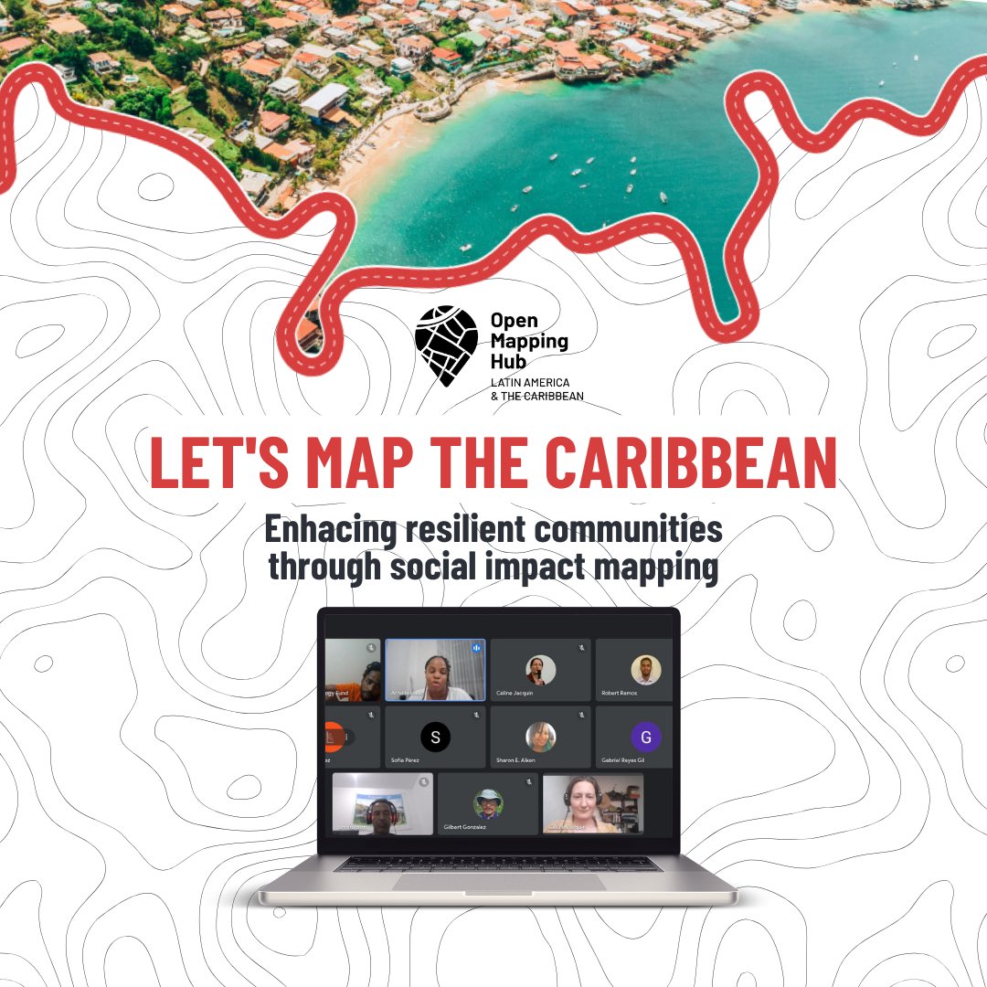
Let’s Map the Caribbean: Training and Mapathon Series Piloted!
The HOT Caribbean Programme team led a series of mapathons with training components focused on the use of OpenStreetMap, and other field and remote mapping tools. The aim was to build capacity among the cadre of mappers in the Caribbean while also promoting mapping for anticipatory action. This is expected to positively impact the Caribbean’s capacity to use digital maps for disaster preparedness and response.
There is growing interest in OpenStreetMap (OSM) in the Caribbean and its many uses and benefits, including improving the access to digital data for disaster response in a space that is facing intensified storms during the Atlantic hurricane seasons. While there is the growing will and interest in OSM, there was an expressed need to build skills and experience specifically in the use of OSM tools to allow interested persons to fully immerse themselves in mapping.
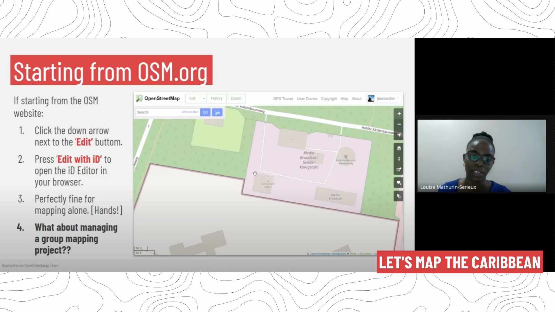
The HOT Caribbean programme team launched the Let’s Map the Caribbean series, consisting of a sequence of mapathons which kicked off with short training courses at each session. The areas of training included introduction to OSM, use of the HOT Tasking manager, and use of mobile mapping apps.
The Let’s Map the Caribbean series had two main objectives:
-
To Build Open Mapping Capacity: The Caribbean OSM community faces a significant gap in open mapping capabilities, largely due to its nascent stage. While many individuals possess mapping backgrounds and interests, there is a lack of specific exposure to open mapping technologies.
-
To Involve the Caribbean in Mapping the Caribbean: SM coverage of the Caribbean region remains sparse. Initiatives like anticipatory mapping are progressing slowly. Regular training sessions were designed to accelerate these efforts and cultivate a skilled pool of mappers capable of supporting future mapping activities effectively.
The activity took place every other Thursday over a span of two months, totaling five sessions. A total of 110 individuals registered to participate in the series. By its conclusion, there were 2,197 edits made to the map, with 1,772 new buildings added. The series primarily concentrated on anticipatory mapping tasks in flood-prone areas of Acquin, Haiti and the Laguna De Bavaro, Dominican Republic.
Participants in the series expressed their enthusiasm not only for the skill-building opportunities provided by the program but also for the networking opportunities it offered. One notable instance was the involvement of Estelle Seremes from Guadeloupe, who connected with the HOT Caribbean program team during the initiative. This connection led to a partnership with HOT, resulting in collaboration to organize an OSM workshop at the Climate Justice Caribbean Camp held in Saint Martin in March 2024. Other participants provided positive feedback about their experience, highlighting:
-
“Facilitators were patient and explained thoroughly”.
-
“Great event. Keep it up.”
-
“Great initiative”.
Based on the lessons learned and feedback received from this session, the Caribbean team is preparing for a highly anticipated second round of the Let’s Map The Caribbean series. This initiative underscored the critical importance of ongoing capacity building for mappers and the creation of networking opportunities within OSM communities.