News — 05 March, 2025
Lebanon's Recovery: Mapping a Path from Rubble to Resilience
Lebanon is grappling with severe destruction and displacement from recent conflict. A data-driven approach using mapping is essential for effective humanitarian aid and long-term recovery. By leveraging mapping tools and community involvement, reconstruction can better address local needs and ensure a sustainable future.
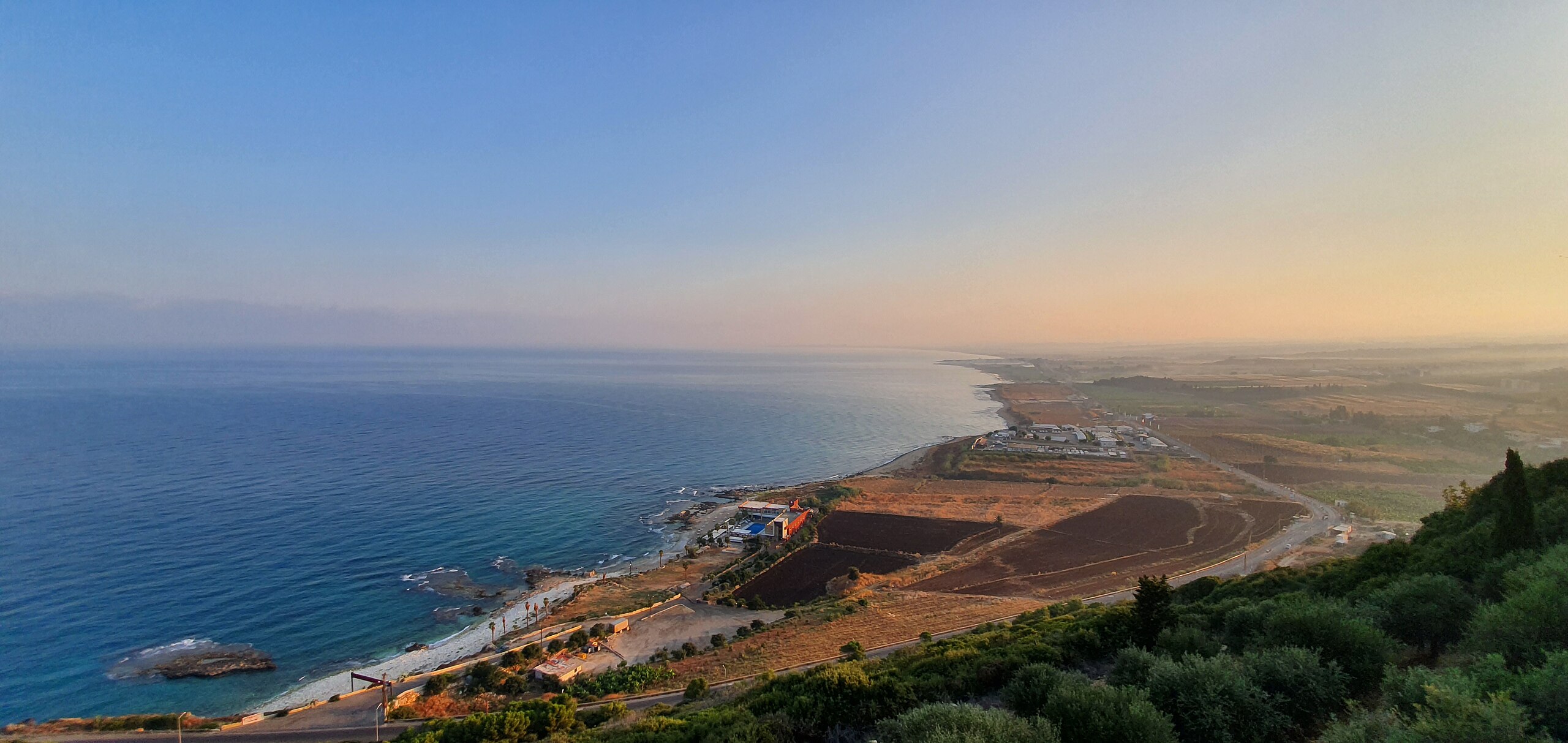
Lebanon, a nation already grappling with a multitude of crises, has been further devastated by the recent escalation of conflict. The images of shattered homes, crippled infrastructure, and displaced families paint a grim picture of the challenges that lie ahead. While humanitarian aid provides immediate relief, the long-term recovery and reconstruction of Lebanon demand a more strategic and data-driven approach. In this context, the often-underestimated power of mapping data emerges as a crucial tool for rebuilding not just infrastructure, but the very fabric of Lebanese society.
The devastation wrought by war isn’t abstract; it’s geographically specific. Knowing precisely where the damage lies is the first step toward effective intervention. Satellite imagery, coupled with on-the-ground assessments and drone surveys, can create a comprehensive map of destruction. This isn’t just about counting damaged buildings; it’s about understanding the interconnectedness of infrastructure. A destroyed bridge doesn’t just hinder transportation; it can isolate entire communities from essential services like healthcare and markets. Mapping these cascading effects allows for a more nuanced and targeted approach to reconstruction.
Consider the challenge of delivering humanitarian aid. In the chaos following conflict, simply knowing where people are is a monumental task. Mapping displaced populations, identifying accessible routes, and locating functioning aid distribution points are critical for ensuring that resources reach those who need them most. Real-time mapping platforms, fed by data from aid workers and local communities, can provide a dynamic picture of the evolving situation, allowing for agile and responsive aid delivery.
Beyond immediate relief, mapping data is essential for long-term reconstruction planning. Rebuilding roads, bridges, water systems, and power grids requires a thorough understanding of pre-conflict conditions, the extent of damage, and future needs. Urban planners, engineers, and architects can leverage this data to develop informed and sustainable reconstruction plans. Imagine rebuilding a water system: knowing the precise location of damaged pipes, the pre-existing network layout, and the future population density allows for a more efficient and resilient rebuild. OpenStreetMap (OSM), with its collaborative and open-source nature, offers a powerful platform for this, enabling communities to actively participate in the mapping process and ensuring that local knowledge informs the rebuilding effort.
But recovery isn’t just about bricks and mortar; it’s about people. Participatory mapping, which involves local residents in data collection, empowers communities to take ownership of the recovery process. By contributing their local knowledge, residents can ensure that reconstruction reflects their needs and priorities. This fosters a sense of agency and strengthens social cohesion in the aftermath of conflict, crucial ingredients for long-term peace and stability.
Moreover, mapping data can play a crucial role in addressing the less visible wounds of war. Conflicts often leave behind a deadly legacy of landmines and unexploded ordnance. Mapping these hazardous areas is paramount for protecting civilians and enabling safe reconstruction. Specialized mapping technologies, combined with demining expertise, can identify and mark dangerous zones, preventing further tragedies and facilitating the safe return of displaced populations.
The environmental impact of conflict, often overlooked, can also be assessed and mitigated through mapping. Damage to forests, water resources, and ecosystems can be documented and analyzed, informing environmental remediation plans and ensuring a more sustainable recovery.
Lebanon’s path to recovery will be long and arduous. But by embracing the power of mapping data, we can move beyond simply rebuilding what was lost. We can build back better, smarter, and more resilient. Investing in mapping technologies, supporting initiatives like Humanitarian OpenStreetMap Team (HOT), and empowering local communities to participate in the mapping process are not just technical solutions; they are investments in Lebanon’s future. They are investments in a future where data empowers resilience, and where the scars of conflict are transformed into a roadmap for a brighter tomorrow.
Join the Global Mapping Movement & Support HOT’s Mission: Volunteers worldwide can participate in mapathons and online efforts to improve mapping data in Lebanon. Support for HOT, whether through donations or time, helps create a data-driven approach to recovery and a more resilient Lebanon.
If you are in Lebanon and would like to volunteer with OSM Lebanon, we’d love to hear from you!
Contact: data@hotosm.org