News — 07 February, 2025
Cultivating Open Knowledge: Collaborative Mapping Workshop for Tec de Monterrey Teachers
Educators and librarians from Tec de Monterrey were trained in open mapping tools to integrate citizen science into higher education. Through theoretical and practical sessions, they developed social impact projects in Querétaro using platforms such as OpenStreetMap, Mapillary, and uMap. The workshop strengthened their role as agents of change, promoting collaborative mapping as a tool for territorial action and social justice.
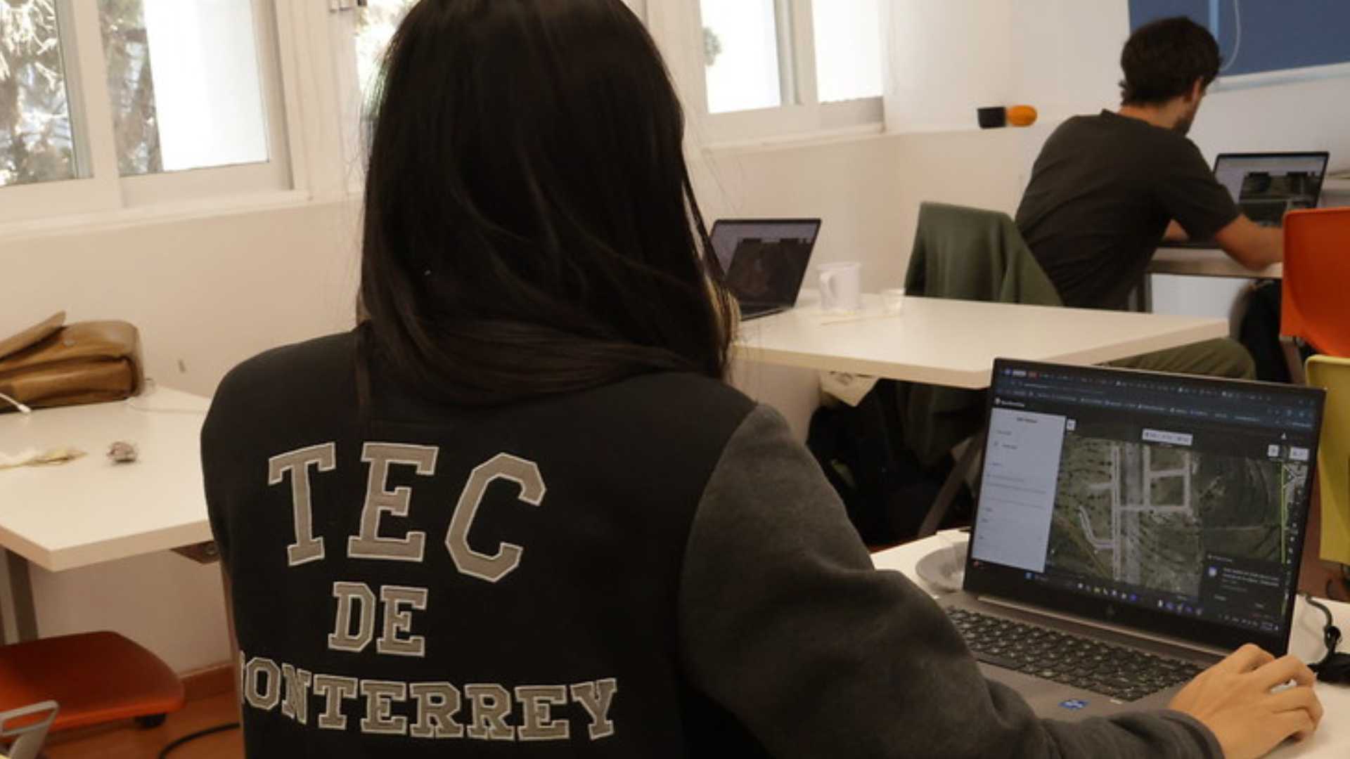
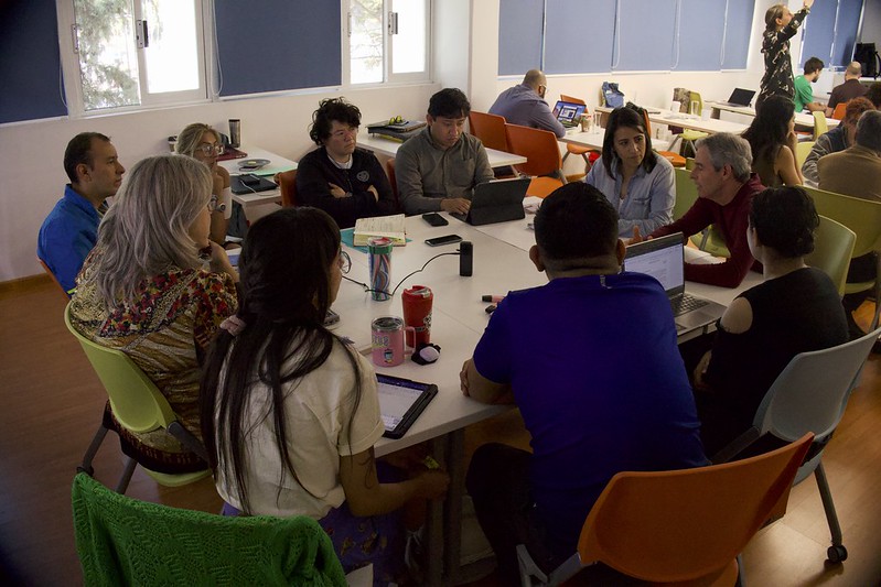
In February 2025, the Latin America and Caribbean Open Mapping Hub (LAC Hub) traveled to Querétaro, Mexico, to train 40 faculty members from the Schools of Social Sciences, Humanities, Architecture, Art and Design, and the Library department of the Tecnológico de Monterrey. The goal was to provide dynamic and accessible learning on open mapping, enabling educators to integrate these tools into their academic programs and social impact projects.
This workshop stemmed from the “Semana i” of the Conflict and Peace specialization, where 30 students from the School of Social Sciences and Government took part in an intensive training on OpenStreetMap (OSM), the Humanitarian OpenStreetMap Team (HOT), and open mapping tools such as Mapillary, Organic Maps, and uMap. The initiative generated significant interest among faculty, leading to the creation of a training space for university professors through the Disciplinary Update Courses (CADI).
“The potential of open mapping in higher education became clear when we discussed humanitarian mapping as a key tool in humanitarian aid and its power to strengthen community resilience,” says Dr. Kacper Przyborowski, professor in the International Relations program. “That first workshop with my students inspired me to coordinate a session with HOT that would train my colleagues and me on how to integrate open mapping as an innovative methodology to address social issues through teaching, research, and fieldwork.”

From Classroom to Territory: Exploring Open Mapping in Education
The course was structured into three intensive days with both theoretical and practical sessions, covering everything from the basics of mapping to advanced applications for research and community development projects.
Day 1: Foundations of Open Mapping and Introductory Tools
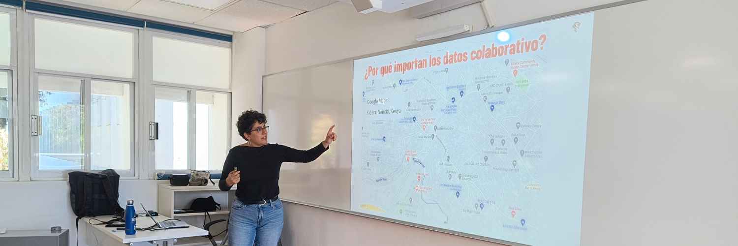
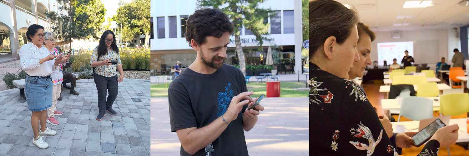
Teachers explored the concept of citizen science and how maps have evolved into key tools for decision-making in humanitarian crises and development projects. OpenStreetMap (OSM) and HOT were introduced, with success stories in human rights and social action. A hands-on workshop on the iD editor allowed participants to map basic elements in OSM.
Day 2: Advanced Tools and Mapping Project Management
The second day focused on geospatial data quality, the use of Tasking Manager to coordinate collaborative mapping projects, and the introduction of tools like MapRoulette for correcting data in OSM. Participants learned how to download and apply OSM data in educational projects and explored apps like Kobo Toolbox, Mapillary, and Organic Maps.
Day 3: Practical Application and Community Mapping
The final day included a brief discussion on the intersection between OpenStreetMap and Wikimedia, highlighting their potential in education through geolocated data projects.
Participants explored strategies to integrate mapping into university curricula. The open mapping approach was framed as a continuous improvement process—recognizing that no map is ever final, but rather a dynamic and evolving representation. The training emphasized how these tools can enhance territorial understanding, promote community participation, and advance social justice through citizen science.
Strategies for mapping knowledge sustainability were also discussed, such as training of trainers and mentoring between educators and students to build a collaborative learning network. The importance of empowering youth not just as participants but as leaders of mapping initiatives was emphasized, encouraging integration of open mapping into educational and civic engagement processes.
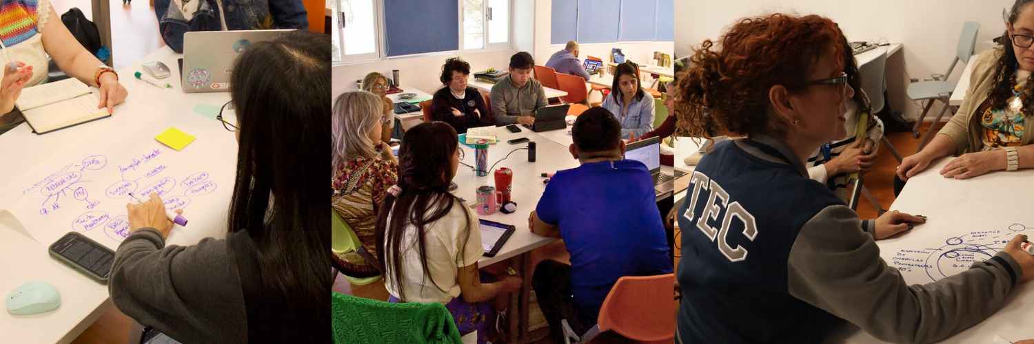
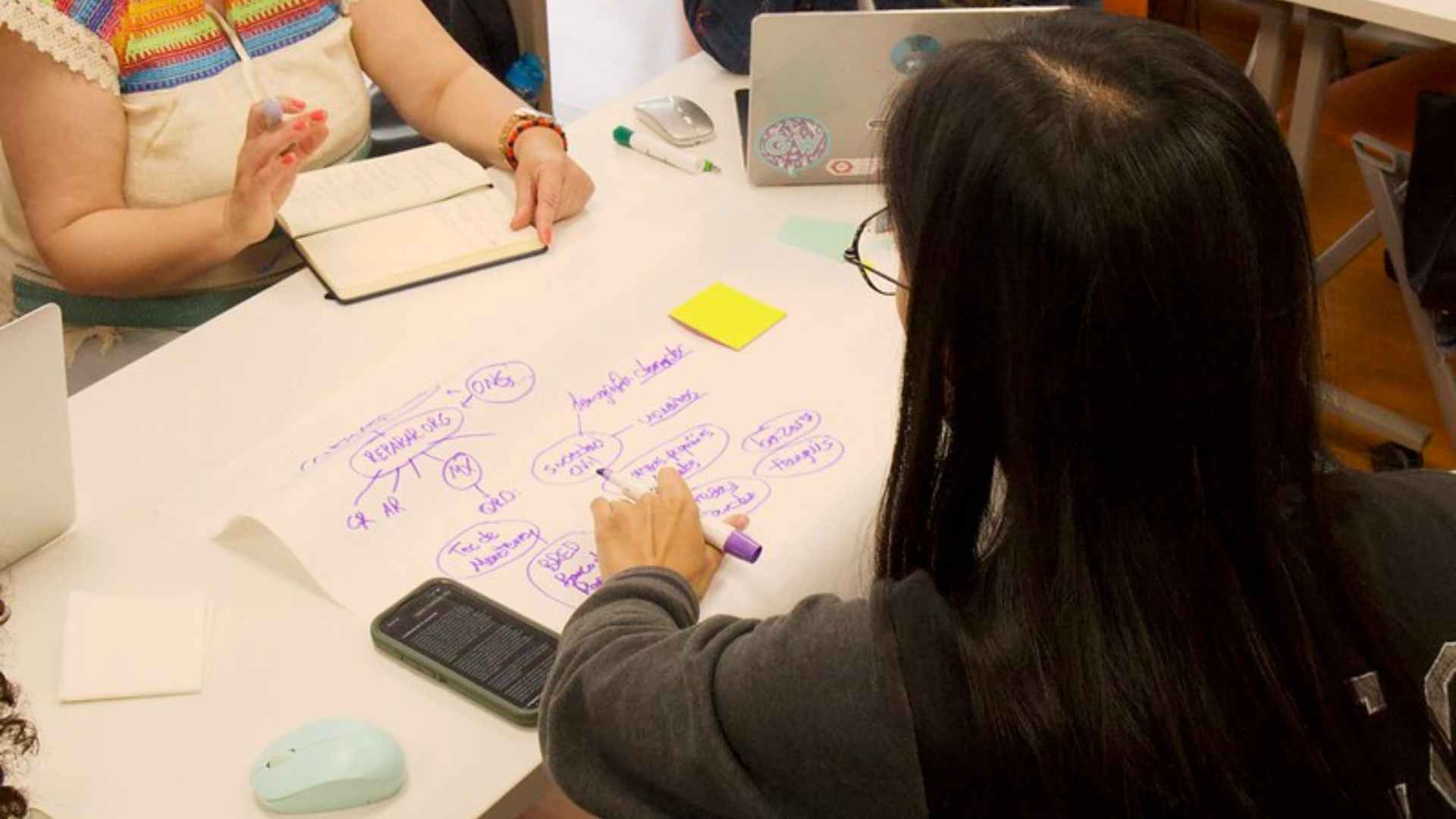
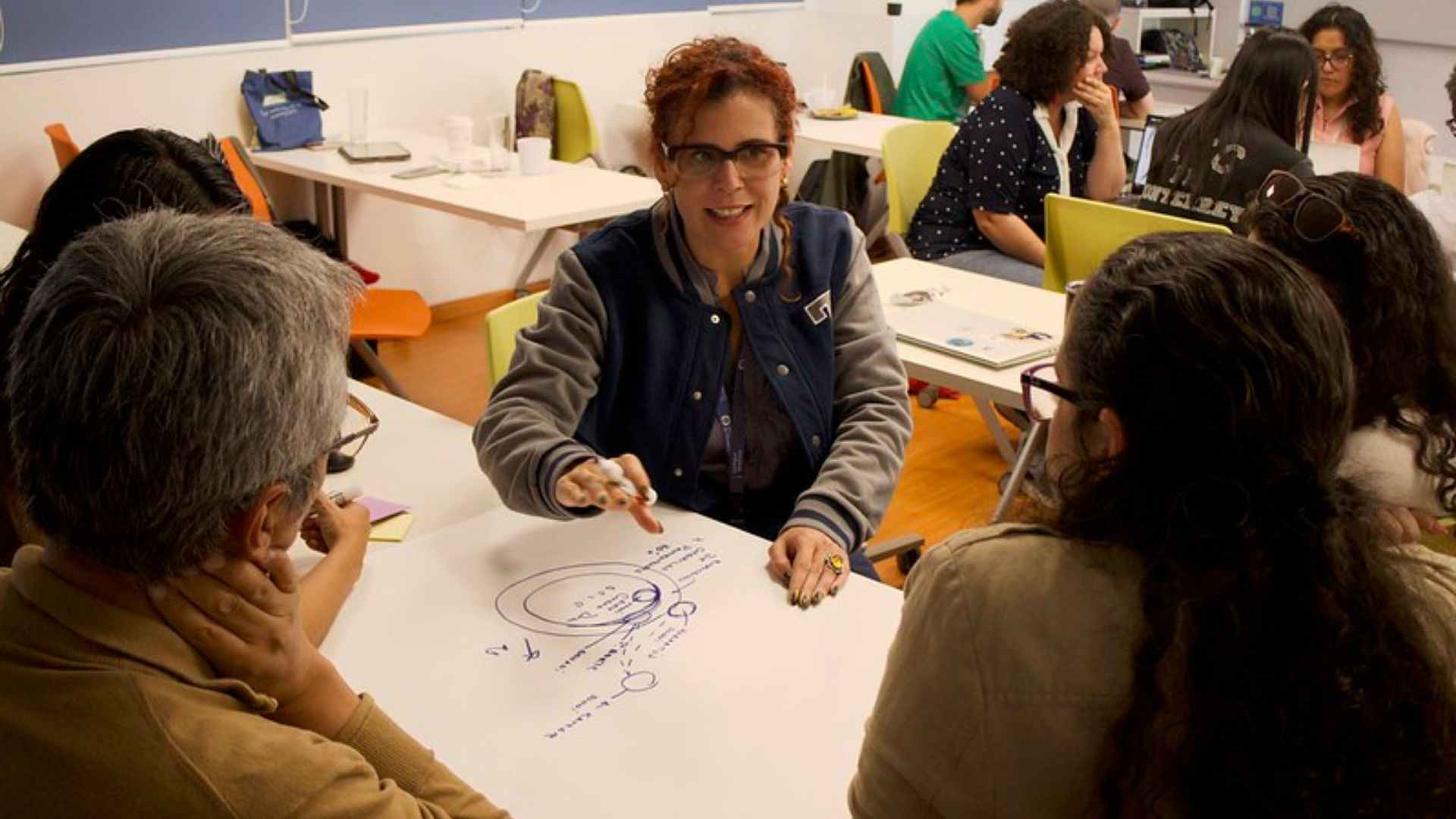
Finally, teachers participated in a co-creation exercise where they designed social impact projects based on open mapping. The resulting ideas are shared below.
Ideas That Transform: Mapping Projects Born from the Workshop
The workshop led to the creation of four projects with strong social impact potential:
DistritoQro: An Urban Lab for Citizen Science
DistritoQro is a pilot project that seeks to define the boundaries of an intervention area in Querétaro and generate data to better understand the territory. The project responds to the need to build a comprehensive diagnosis that will serve as a foundation for informed decision-making by public, private, and academic actors in urban development and planning.
The proposed methodology involves open mapping techniques such as urban walks, interviews, surveys, and physical-demographic analysis. Tools like OpenStreetMap, uMap, Mapillary, and Tasking Manager will be used to collect and organize information. The project will also engage citizen science strategies and identify key stakeholders across disciplines.
The expected outcome is the creation of a permanent atlas of the area, visualizing social, economic, and environmental data. The project also seeks to promote community participation in shaping their surroundings.
Mapping Circular and Solidarity Economies in Querétaro
Querétaro hosts multiple networks for second-hand goods exchange and sale, yet they remain largely invisible and unsystematized. This project aims to document and map these spaces to promote circular and solidarity economies.
The proposed methodology includes collecting data on businesses engaged in buying, selling, and donating second-hand goods using tools like Mapillary and Organic Maps. Surveys will be conducted using KoboToolbox, and data will be visualized in a collaborative atlas on uMap. Students and the community will also be trained in mapping tools.
This project seeks to strengthen community networks and facilitate public access to these spaces. The collected data is expected to support municipal-level strategies for circular economy development.
Mapping Cultural Expressions in Diverse Urban Contexts
Urban cultural and artistic manifestations are often ephemeral and poorly documented. This project aims to capture and map expressions such as graffiti, altars, and political messages during the March 8 Women’s March in Cholula, Puebla, which reflect the city’s identity and social dynamics.
The project includes planning strategic routes to collect data via Mapillary and HOT ChatMap. Students will be trained in geospatial documentation techniques and pattern analysis of cultural manifestations. The information will be systematized into an accessible digital platform.
The expected impact is the creation of a georeferenced visual archive of urban cultural expressions, providing material for future research and heritage conservation strategies.
Mapping Digital Learning Gaps in Underserved Communities
Unequal access to digital infrastructure in vulnerable communities limits educational opportunities. This project aims to identify connectivity and technology access gaps to support policy-making for digital inclusion.
The methodology includes mapping schools, libraries, and community centers using OpenStreetMap, Overpass Turbo, and Mapillary. Surveys will be conducted with educators and students to understand needs and challenges. The data will be analyzed and presented in an open report.
The mapping results will help develop strategies for improving digital infrastructure and support the implementation of educational programs tailored to community needs.
Key Learnings
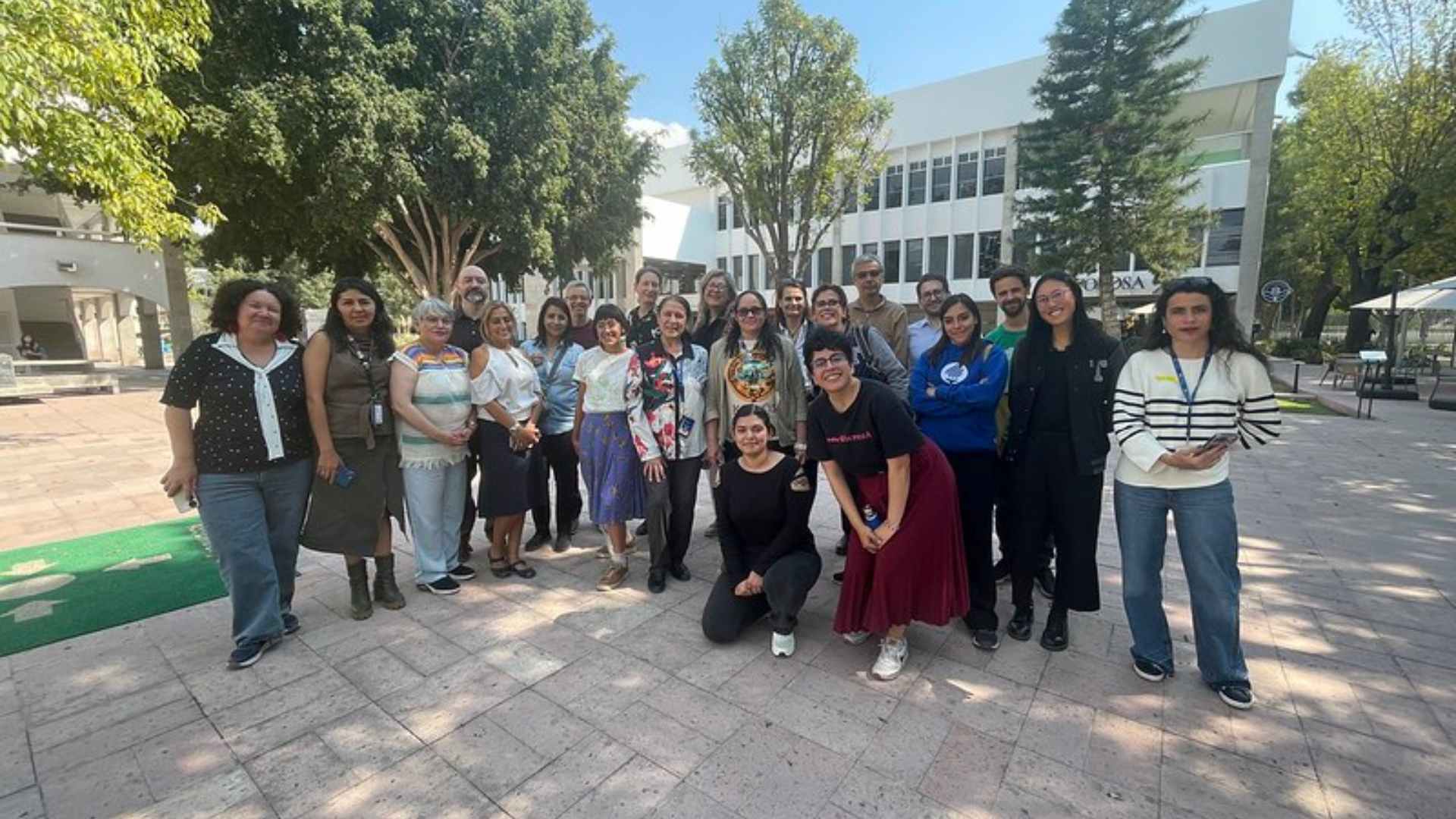
The workshop allowed faculty not only to acquire technical skills in open mapping but also to envision the transformative impact these tools can have in education and social change. From the classroom, educators emerge as key agents in expanding the culture of open mapping, promoting it as a tool for community empowerment and engagement.
The commitment generated during the course lays the foundation for future training initiatives, with the potential to scale these projects locally, nationally, and even internationally. The seed of open mapping has been planted—now the challenge is to keep nurturing it.