News — 12 February, 2025
Creating Data Together: Collaborative Mapping to Transform Public Transportation in Mexico
Mexico is making progress with its public policy proposals for the regulation and modernization of public transportation. Learn how HOT contributed to the project “Creating Data Together: Improving Urban Transport Management in Mexico.”
Since August 2024, the Humanitarian OpenStreetMap Team (HOT) in Latin America and the Caribbean, together with the Trufi Association and Codeando México, have collaborated on the project “Creating Data Together: Improving Urban Transport Management in Mexico,” with support from the Deutsche Gesellschaft für Internationale Zusammenarbeit (GIZ) GmbH, through TranSIT, a project that aims to improve the quality and efficiency of public transport in Mexico at both national and subnational levels.
The collaboration between these three organizations builds on a two-year history of collaborative public transport mapping efforts in Mexico. The goal has been to foster the generation and maintenance of quality public transport data through mapping communities, using open-source tools and focusing on the generation of route maps in GTFS (General Transit Feed Specification) format. These data can be used through OpenStreetMap and in various mobile navigation applications. (Read more: Impact story: Participatory Mapping in Zamora, Zamora Project, Zitácuaro Project)
For this project, in close collaboration with the State Governments of Oaxaca and the State of Mexico, represented by their Mobility Secretariats (SEMOVI), the data needs were defined in line with public policy proposals aimed at the regulation and modernization of public transport. The selected cities included Oaxaca, Puerto Escondido, Salina Cruz, and the Metropolitan Area of Toluca in the State of Mexico.
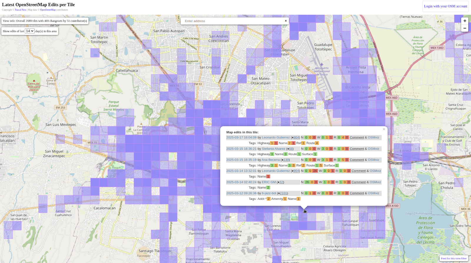
Visualization of contributions (OpenStreetMap changesets) in the Toluca Valley.
Juan Berdeja, former Director of Planning and Policies at Oaxaca’s SEMOVI, shares:
“For the authorities, mapping transport routes helps generate strategies to understand what’s happening on the ground—both formal and informal transport—and what’s working. This guides public policy to address these challenges through tailored projects and solutions that reflect what’s happening in the streets.”
HOT’s Role in the Project
HOT focused on consolidating a specialized mapping community, continuing the efforts of previous transport mapping projects, and aiming to expand this strategy to more cities in the future.
The student community of the Autonomous University of the State of Mexico (UAEMEX), Toluca campus, Faculty of Geography, actively participated, continuing a strong collaborative relationship with HOT. New partnerships were also developed with Universidad Regional del Sureste and La Salle Oaxaca. The project also benefited from support by the Universidad Privada Antenor Orrego (UPAO) in Trujillo, Peru, through its connection with Trufi Association.
What was the project about?
Students were trained in all dimensions of mapping to substantially improve the OpenStreetMap (OSM) base map, enabling transport route input and the eventual integration of all data into navigation applications based on OSM.
Some of the participants shared their reflections:
“Many tourists come and don’t know which bus to take, and even locals like me ask: ‘Which bus takes me here or there?’ So I think this project is a great advantage for everyone.” — Benjamín Montiel, student at UAEMEX in Toluca; project volunteer and local public transport user.
%20en%20la%20sesio%CC%81n%20de%20premiacio%CC%81n%20durante%20el%20Open%20Data%20Day%202025.jpg)
“I really like mapping. The project was interesting, and it was even better to be able to fulfill my professional integration course with something I’m passionate about.” — Alexander Burreola, UAEMEX student in Toluca; project volunteer.
In collaboration with GEOID, a modular training program was delivered covering OSM mapping, use of editing tools (JOSM and iDEditor), verification and correction of road data, POI verification, data quality, and the use of OSM data for local decision-making. Mappers were also trained in the basics of public transport data mapping in OSM via the MOOC developed by Trufi Association in partnership with the Mobility Hub.
A full evaluation of topological errors in the base map was conducted—critical for vehicle navigation instructions. The team also worked on integrating key road infrastructure and services (e.g., large businesses, transport facilities, post offices, schools, health centers, social services, recreational and cultural spaces) into OpenStreetMap, based on the National Statistical Directory of Economic Units (DENUE) from INEGI.
As a result of this work, over 8,500 road network inconsistencies were validated, and more than 25,000 POIs were added—representing around 3,500 volunteer hours, distributed across different credit recognition schemes.
Antonio de Jesús, representative of GEOID-Comapper (implementing partner), explains that to motivate students and expand the OSM mobility community, two engagement strategies were used:
-
Students would gain knowledge not typically covered in standard university courses and learn to use free tools that support their future career development without the need for major investment.
-
Involvement from expert communities in open mapping would expose students to a wide range of working methodologies—encouraging participation in international projects and greater integration into the OSM community.
This mapping process concluded during the celebration of Open Data Day at UAEMEX, with an award ceremony recognizing all participants.
%20en%20la%20sesio%CC%81n%20de%20premiacio%CC%81n%20durante%20el%20Open%20Data%20Day%202025.jpg)
Group photo with student mappers, HOT, GEOID-COMAPPER, TOMTOM and former SEMOVI (Oaxaca) officials during the award ceremony at Open Data Day 2025.
To ensure sustainability, participants were invited to join OSM groups focused on mobility to help expand the community and continue updating urban and mobility-related topics through citizen science.
Next Steps
The project is now in its final stages: route verification by local transport authorities is ongoing under the coordination of Codeando México. Once complete, Trufi Association will generate GTFS files based on the routes integrated into OpenStreetMap. This process involves both field and remote route validations.
Once finalized, public transport routes in both states will be available to all users on multiple platforms, GTFS repositories, and navigation apps—including Trufi’s Rutómetro app.
This project has resulted in significant improvements to the OpenStreetMap base map.
How might you use this data for other urban topics, such as urban planning, local economic development, or more?