News — 02 January, 2025
Community Mapping in the Andoke Indigenous Reserve of Aduche in the Colombian Amazon

Community Mapping in Araracuara Strengthens the Andoque People’s Territorial Management Using Drones, OpenStreetMap, and GIS. The initiative combines ancestral knowledge and technology to document and protect their territory against deforestation and climate change.
The Andoque Indigenous People, located in the Araracuara region of the Colombian Amazon, have managed their territories for centuries in harmony with deeply rooted cultural principles. However, the growing impact of deforestation and climate change has forced these communities to seek new strategies to delineate and protect their environment.

The Andoke Indigenous Reserve of Aduche, a legally recognized organization in the Colombian Amazon, plays a crucial role in this effort. Indigenous reserves are legally protected areas that allow Indigenous communities to preserve their culture, traditions, and way of life. The protection of these lands is vital to ensuring the survival and well-being of these peoples.
In this context, the community mapping project in Araracuara, developed in collaboration with the Andoke Indigenous Reserve of Aduche, aims to provide the community with technological tools that enable them to document and manage their territory autonomously. By combining their ancestral knowledge with modern technologies, the project seeks to strengthen the local inhabitants’ capacity to face environmental and territorial challenges affecting their region.
Juan Melo, Senior Data Quality Associate, shares his experience working with the community, emphasizing that the goal was not just to create maps but also to empower local leaders to manage their resources and challenges more effectively.
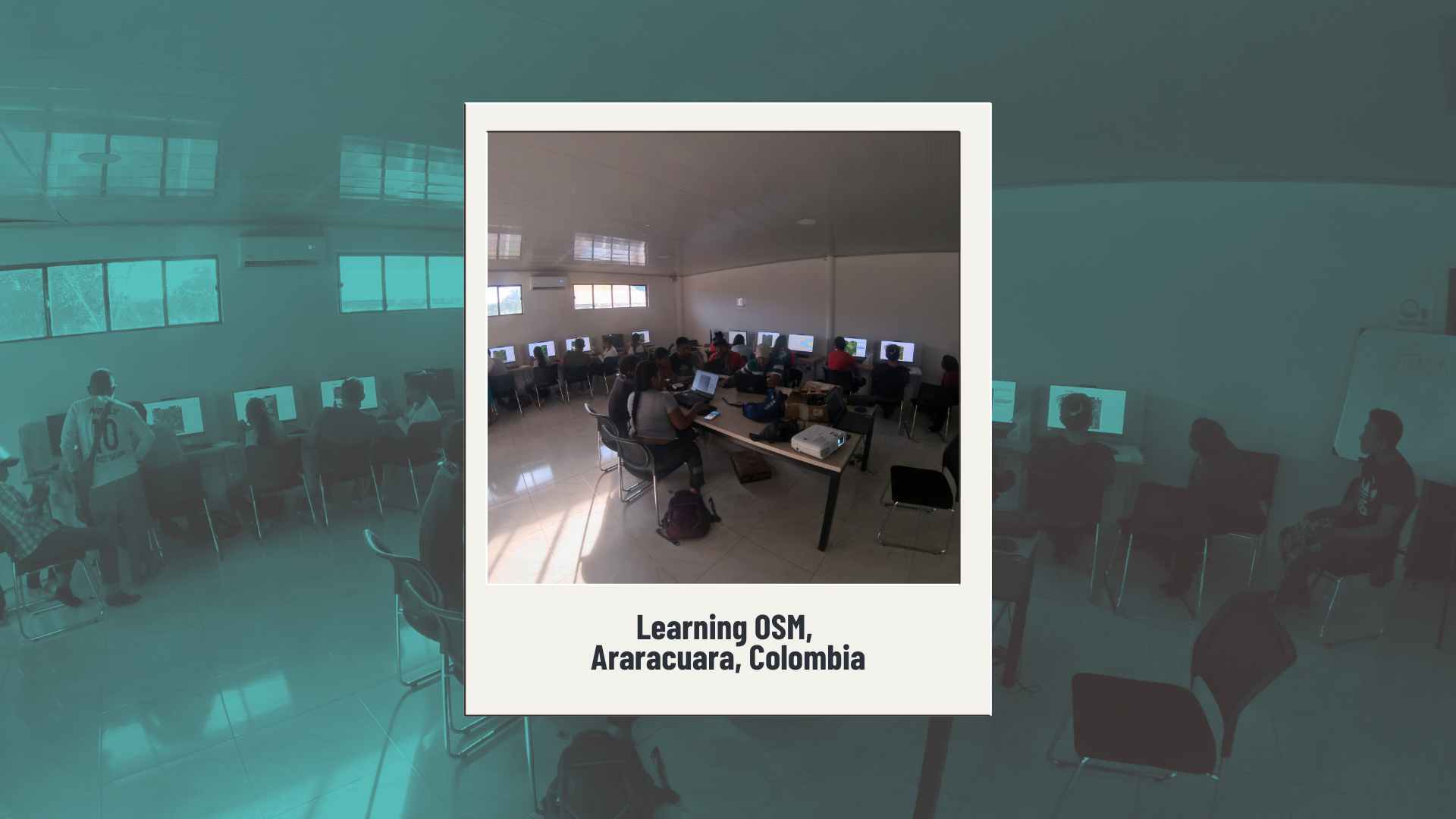
Strengthening Open Mapping Skills
The project was carried out over an intensive week of workshops and activities, from July 22 to 26. During these days, participants received training in mapping and GIS tools, combining theoretical and practical sessions to maximize learning.
The community mapping project in Araracuara began with a session on drone use, where participants learned to capture aerial images of the urban area. These images were uploaded to OpenAerialMap (OAM) for later use in remote mapping. This first day allowed community leaders to become familiar with drone technology and understand its value for territorial mapping.

On the second day, participants focused on using Mapillary, conducting a survey of the urban area with 360-degree cameras and mobile devices to capture geolocated images of the terrain. In the afternoon, an introduction workshop to QGIS was held, where participants learned about software installation and configuration, as well as how to visualize geographic layers. They also worked on analyzing alphanumeric data and querying attributes in vector layers.

The third day included an introduction to OpenStreetMap (OSM) and Humanitarian OpenStreetMap Team (HOT), explaining their relevance in global cartography and humanitarian aid. In the afternoon, participants learned how to use iD Editor and Tasking Manager to download and edit data in OSM. They then participated in a mapathon, applying what they had learned to map buildings and roads in the communities of the five Andoque clans, enriching the OSM database with local information.
The fourth day was dedicated to fieldwork. Participants used mobile applications like OsmAnd and OsmTracker to collect additional information in Araracuara’s urban area, focusing on on-the-ground mapping to expand relevant geographic information for the community.
“I found it very important because we had never had the opportunity to work with these applications before. This experience allowed us to see things we had not identified before, even on maps. We learned to locate points more precisely,” says Marisol, leader of the Arriera Clan.
Finally, on the last day of activities, a workshop was held with students from Araracuara’s school, introducing them to the basics of OSM and remote and field mapping tools. In the afternoon, a session was conducted to answer questions, consolidate learning, and discuss practical cases on how to apply the generated information in territorial problem-solving. The day concluded with complementary mapping and planning future activities.
“I really liked the workshop. We learned about different applications that play an important role within the same platform. OSM has helped us a lot in our work, for example, when recording data with a mobile phone, not just the one we used before. It also made it easier to upload information to the platform, where we have marked important sites such as streams and rivers,” shares Jonfred Andoque, leader of the Gavilán Clan.
Making Territories Visible for Their Defense and Preservation
Historically, Indigenous peoples have faced violations of their territorial rights, leading them to protect knowledge about their communities and lands. In the past, many of these communities believed that the best way to preserve their lands was to keep them hidden from the outside world. However, this perception has gradually changed. Today, more and more communities recognize the value of mapping and making their territories visible as key tools for defending and preserving their cultural and territorial heritage.
Nevertheless, the tradition of keeping territorial information private remains strong in some communities and among certain Indigenous members. For this reason, any initiative involving the generation of geographic data in Indigenous territory must be accompanied by a proper awareness process. This process should focus on fostering a greater understanding of the advantages of cartography and geospatial data in protecting and managing Indigenous lands, while always respecting their practices and worldviews.

One of the key aspects of the project was ensuring that the mapping process respected the autonomy and cultural sensitivities of the Andoque communities. Juancho emphasized that it was essential for participants to feel comfortable with the information being shared:
“It is important for the community to decide what they want to show. My approach was to respect their timing and the information they deemed relevant to share on the map.”
The use of drones and mobile applications provided communities with a different perspective on their territory. These technological tools were integrated respectfully with local knowledge, strengthening the sense of belonging and control over their own space.
“Through these activities in our community, within the reserve, we have received very valuable tools. They have allowed us to learn and also teach young people how to use new technologies. Through OSM, we are projecting maps of our territory and our community,” shares Tania, leader of the Sol Clan.
The local communities acquired new skills and tools to observe and manage their environment, aligning with their objectives for environmental and cultural monitoring. The trained community leaders will be able to share this knowledge with other members, expanding the project’s reach and sustainability.
The Araracuara project demonstrates that with culturally appropriate training and an approach sensitive to local needs, community mapping can be an effective tool for self-management and territorial defense.