UnAula: Mapping of Populations, Mobilizations, and Territories
From June to November 2023, HOT's Open Mapping Hub partnered with the Latin American Autonomous University's Center for Studies on Populations, Mobilizations, and Territories to host a workshop on Population, Mobilization, and Territory Mapping in Medellín. The initiative engaged 18 social processes, collaborating with local organizations, university researchers, and municipal departments, focusing on social cartography methodologies and free mapping tools linked to OpenStreetMap.
CONTEXT
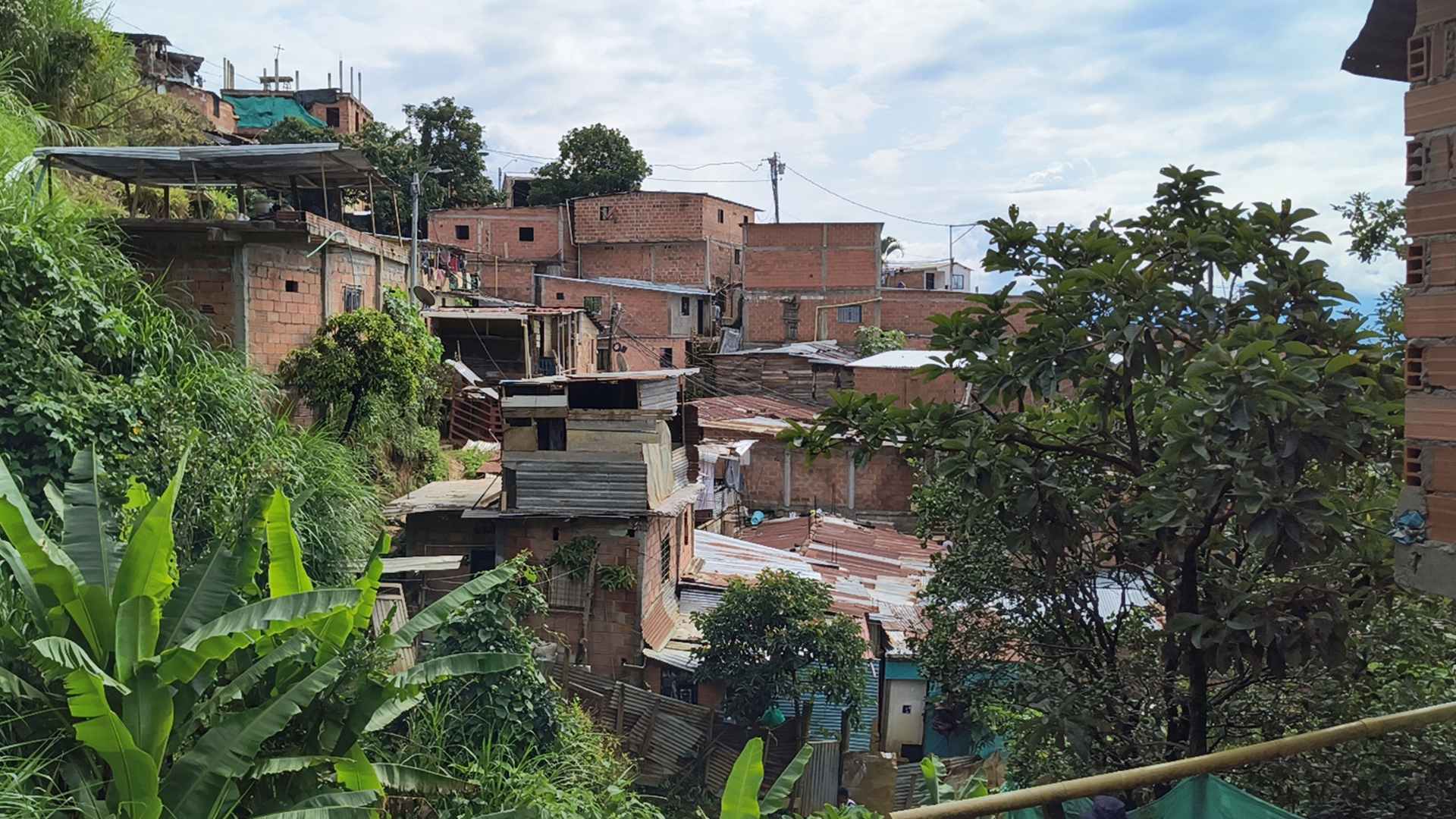
The objective of the UnAula project was to introduce participants to digital mapping and distinguish it from traditional methods, highlighting the contributions of the OpenStreetMap Foundation and the Humanitarian OpenStreetMap Team (HOT). This initiative fostered knowledge exchange and facilitated participation through practical mapping tools, supported by local Youthmappers chapters. It addressed a critical data and technical capacity gap in digital mapping, providing community organizations with tools for social activism and community empowerment in the outskirts of Medellín.
APPROACH
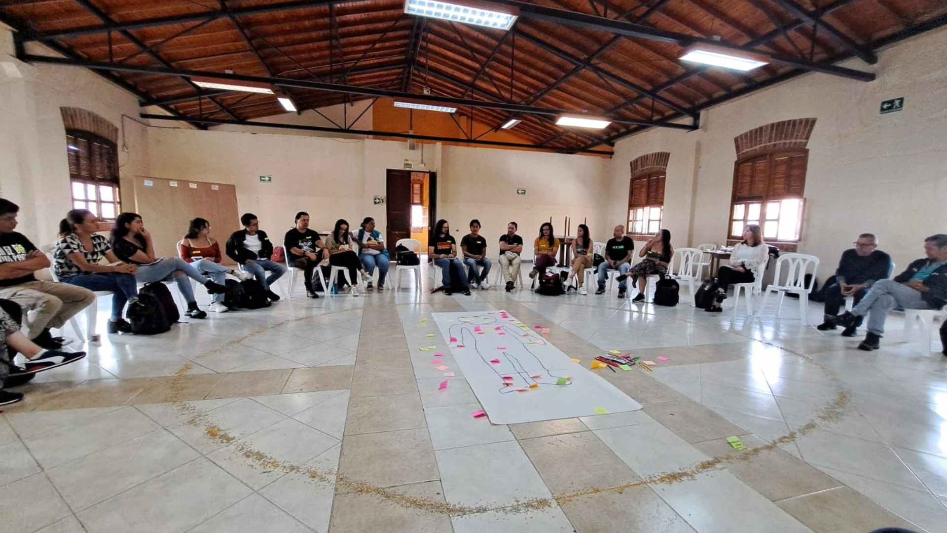
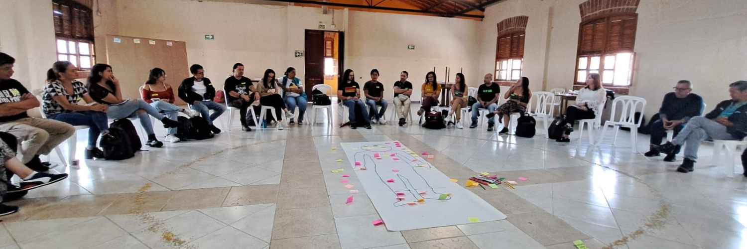 The training combined theoretical perspectives with practical mapping exercises, fostering a rich dialogue among participants from social movements interested in using digital technology for community empowerment.
The curriculum included:
- Module 1: Introduction to the workshop agenda, participant experiences, and establishing work agreements for the training cycle.
- Module 2: Basics of digital and open mapping, an overview of tools to be used, and organizations driving this work (OSM and HOT).
- Module 3: OpenStreetMap mapping concepts, using the ID editor and Tasking Manager. Mobile mapping with StreetComplete.
- Module 4: Mapping walkthrough using StreetComplete and OrganicMaps.
- Module 5: Introduction to Umap, Tasking Manager, and OSM data models.
- Module 6: Mapping job diagnosis workshop.
- Module 7: Public influence strategies and communication campaigns for mapping projects.
- Module 8: Mapping diagnostics and methodological frameworks.
- Module 9: Closing forum: presentation of Workshop Course results and participant certification.
Key collaborations involved local community partners and organizational stakeholders, using tools like the Tasking Manager and GIS to gather datasets on Medellín’s infrastructure, environmental dynamics, and social initiatives.
OUTCOME AND IMPACT
The workshop concluded with 15 organizations conducting thematic mappings in their community territories, focusing particularly on territorial rights, peacebuilding, and promoting communal well-being. This process not only enhanced the integration of digital mapping into their social planning strategies and advocacy efforts but also strengthened community networks and supported the development of joint action agendas. Additionally, a collaborative platform was established to sustain and expand mapping activities, reflecting the dynamic social processes driving territorial transformations in Medellín.
The mapping projects showcased in this exhibition are the result of learning and applying digital tools promoted during the workshop. These projects enabled participating organizations to design and execute detailed mappings of their communities, providing valuable insights into their territories’ processes, initiatives, and realities. These mappings encompass key aspects such as community participation, peacebuilding, socio-cultural dynamics, environmental issues, human rights, and social cohesion.
Explore the maps and further project details here:
View full screen for the first map
View full screen for the second map
LEASSONS LEARNED
The experience highlighted the importance of integrating open mapping platforms into social processes to advance the recognition of territorial realities and community initiatives. It underscored the need to continue developing digital mapping to ensure that underrepresented neighborhoods are acknowledged in the city’s official cartography. Future efforts will focus on enhancing mapping practices further to support social recognition and inclusion.
PARTNERS
Recent news from UnAula: Mapping of Populations, Mobilizations, and Territories (View all news)
Cartografiando Historias: Crónica de una Jornada en las Laderas de Medellín
En Altos de la Torre, Medellín, un taller de mapeo reunió al Hub de Mapeo, POMOTE y colectivos locales. Usando ChatMap, se visibilizó el territorio y se fortaleció a la comunidad frente a riesgos socionaturales.