Open Mapping for All
In the realm of education, championing the utilization of open mapping tools within schools emerges as a transformative initiative. The OM4A initiative advocates and actively enables students and educators to engage in the creation and contribution of impactful cartographic data that addresses real-world issues.
OBJECTIVE
We are catalysts for technological innovation in education, engaging teachers, and enabling students in low-resource settings. Our mission is to create and leverage open map data for active learning, community engagement, and to nurture the next generation of mappers.
WHY IT MATTERS
- Transformative Education: Your contribution directly impacts the education of 15-18-year-old students in schools facing ICT limitations, with a special focus on marginalized populations such as indigenous and girls.
- Localized Impact: We adapt training to meet local needs, linking it to core competencies in social studies, citizenship and science, as well as more disciplines, ensuring relevance to the communities we serve.
- Practical Application: Teachers and students participate in field and remote mapping projects focusing on STEM, climate, gender and equality, humanitarian, social issues and actively solving real-world problems.
IMPLEMENTATION
- Introduce open mapping tools
- Train teachers and students in schools with limited ICT capacity
- Providing technical support and building relationships with teachers during the mapping project
- Adapt training to local needs and context
- Link to core competencies in education curriculum
IMPACT SO FAR

CASE STUDIES

Join us in making a lasting impact. Your support is an investment in education, with your support you will contribute to create empowered, resilient communities.
Recent news from Open Mapping for All (View all news)
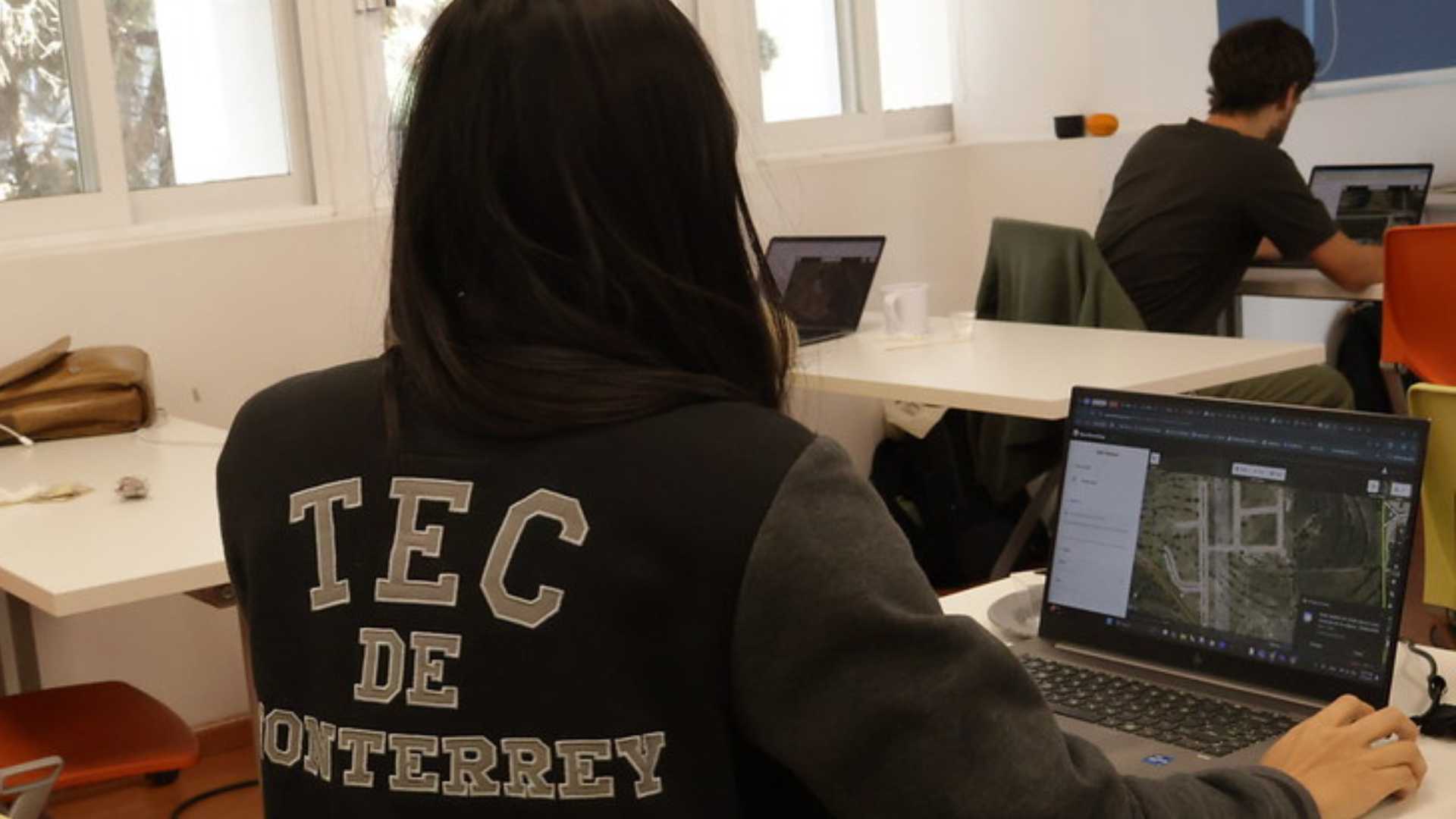
Cultivando el conocimiento abierto: taller de mapeo colaborativo para docentes del Tec de Monterrey
Docentes del Tec de Monterrey se capacitaron en herramientas de mapeo abierto para integrar la ciencia ciudadana en la educación universitaria. A través de sesiones teóricas y prácticas, desarrollaron proyectos de impacto social en Querétaro usando plataformas como OpenStreetMap, Mapillary y uMap. El taller fortaleció su rol como agentes de cambio, promoviendo el mapeo colaborativo como herramienta para la acción territorial y la justicia social.
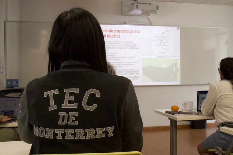
Cultivating Open Knowledge: Collaborative Mapping Workshop for Tec de Monterrey Teachers
Educators and librarians from Tec de Monterrey were trained in open mapping tools to integrate citizen science into higher education. Through theoretical and practical sessions, they developed social impact projects in Querétaro using platforms such as OpenStreetMap, Mapillary, and uMap. The workshop strengthened their role as agents of change, promoting collaborative mapping as a tool for territorial action and social justice.
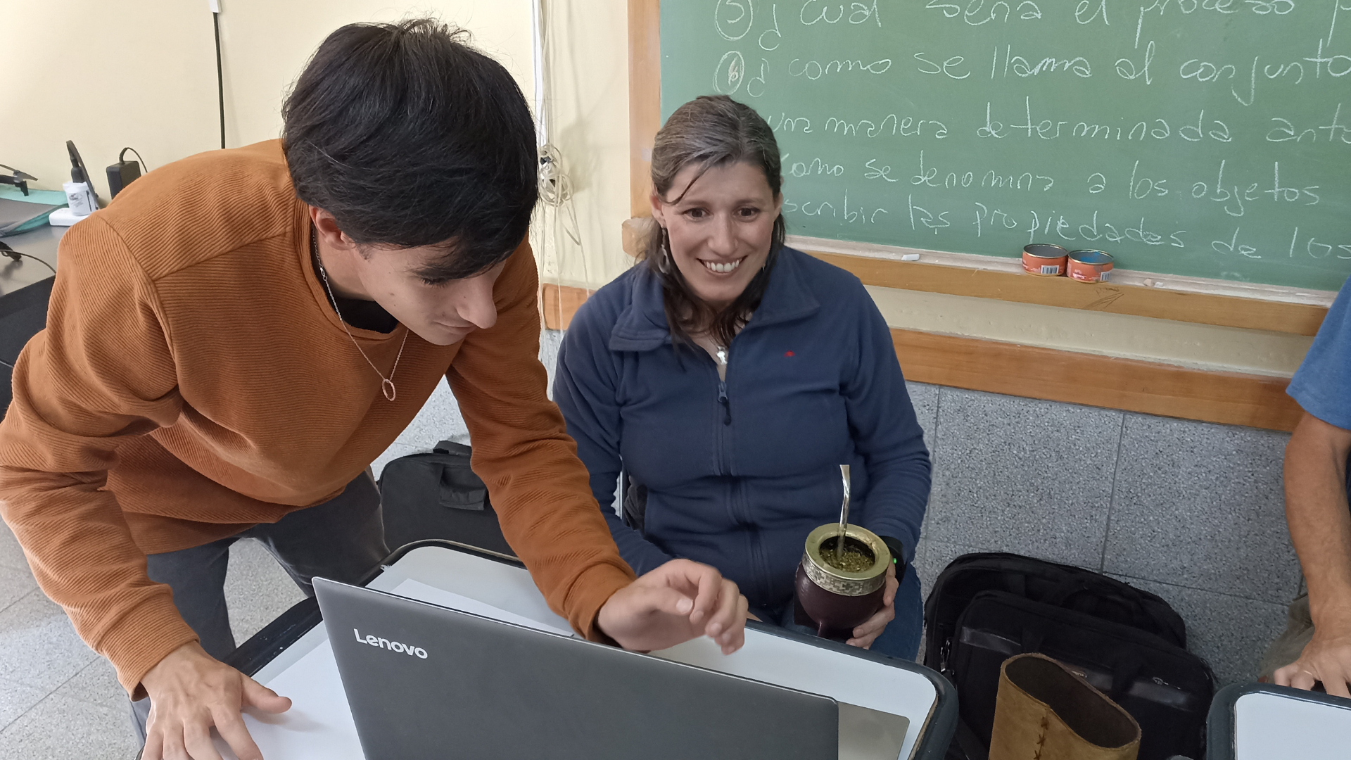
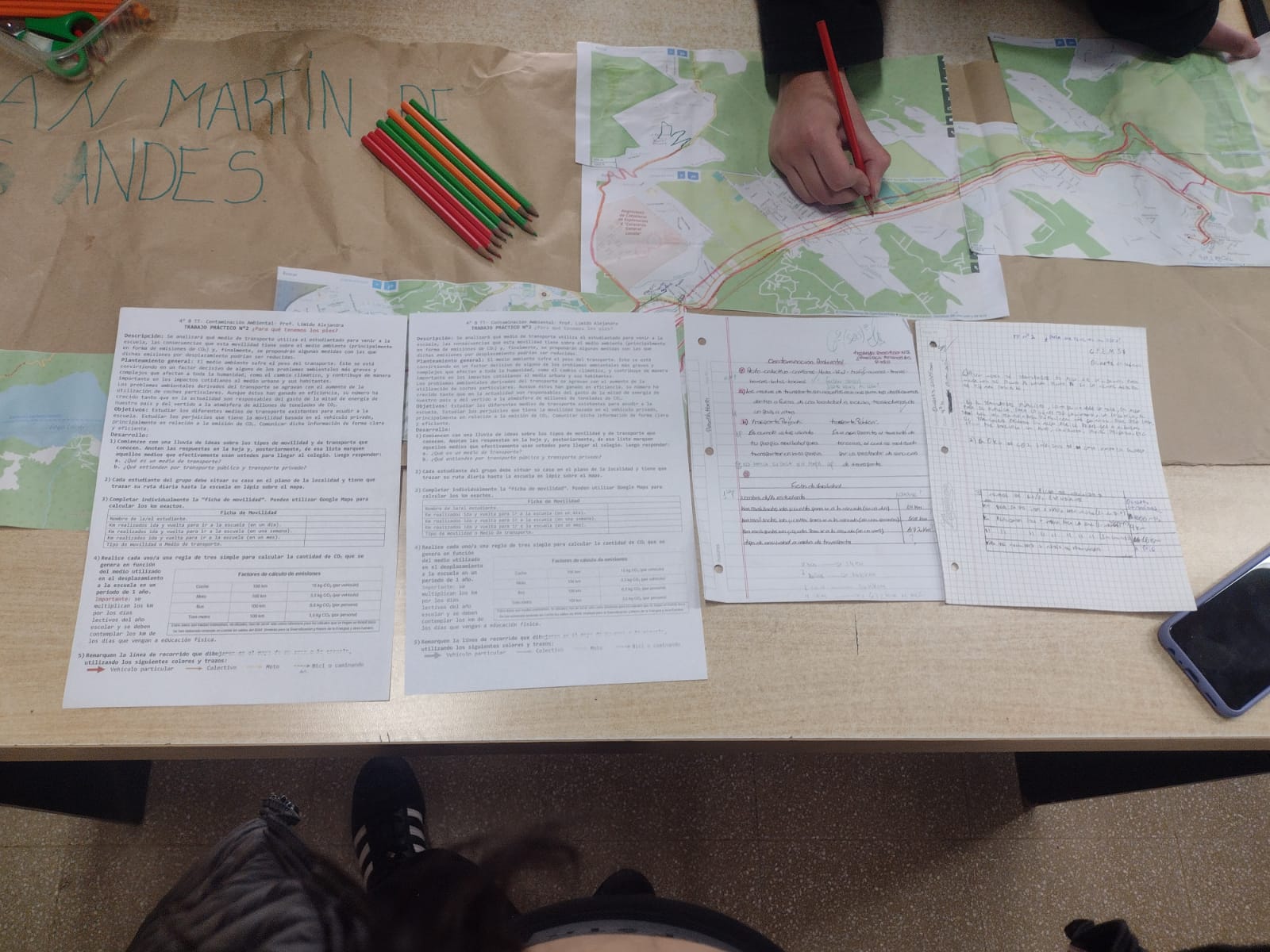
Huellas de Carbono: Acción y Conciencia ante las Emisiones de CO2 con Mapeo Abierto
Estudiantes de la asignatura de “Orientación y Ecología” del CPEM-57 en San Martín de los Andes, Argentina emplean herramientas de mapeo abierto para medir las consecuencias ambientales que tienen los medios de transportes utilizados y así proponer medidas con las cuales las emisiones de CO2 podrían ser reducidas en la localidad.
¡Aquí podemos ser! Cartografía de Espacios Seguros en Medellín a través del Mapeo Abierto
En Medellín, estudiantes de 9˚, 10˚ y 11˚ de la Institución Educativa Tricentenario se unieron para identificar y cartografiar los espacios que perciben como seguros y acogedores para expresar su identidad libremente.
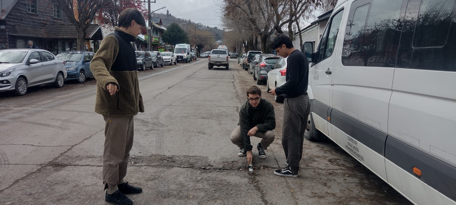
El Proyecto Bache: Mapeando una Problemática Ciudadana en San Martín de Los Andes
Estudiantes y docentes de la secundaria del CPEM-13 en San Martín de los Andes, Argentina, emplean herramientas de mapeo abierto para abordar problemas viales mediante el programa Open Mapping for All, facilitando la identificación de problemas y la búsqueda de soluciones.