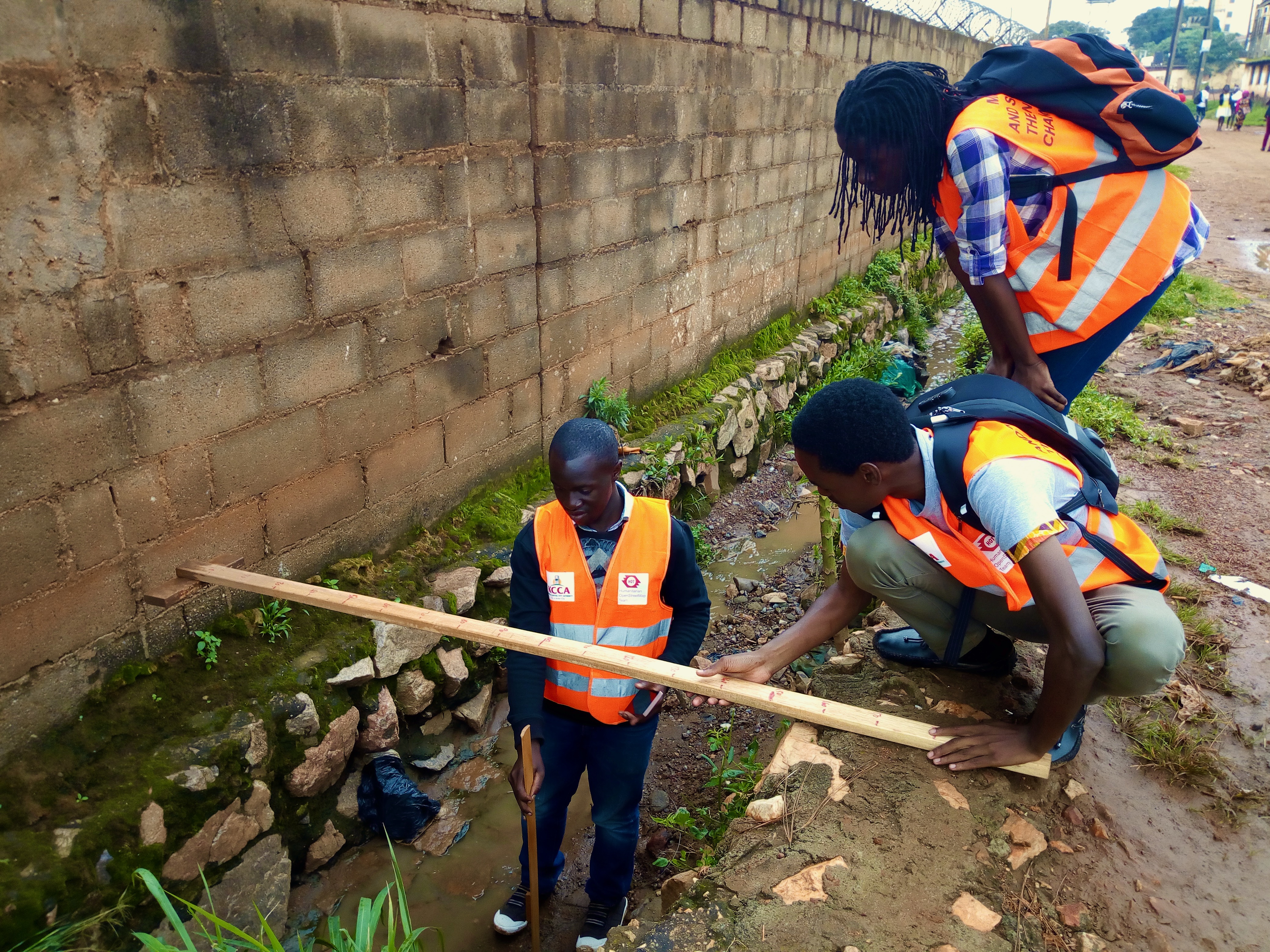
Mapping and Surveying of the Nakamiro Channel area in Kampala

To better understand community-level risk, vulnerability and exposure associated with frequent flooding of the Nakamiro Channel in central Kampala, HOT with support from KCCA collected data on the Nakamiro Channel area covering: critical infrastructure, building flood risk and condition, community awareness, waste and drainage infrastructure.
In collaboration with Kampala Capital City Authority (KCCA), HOT supported a World Bank mapping project creating a feature-rich base map of road and drain infrastructure as well as public services of the Nakamiro Channel area that could be leveraged to identify assets exposed to flood risk and inform risk-informed neighbourhood planning processes.
In order to avoid duplication of mapping efforts and leverage existing data around the Nakamiro Channel area, HOT acquired all available geospatial information of the AOI from KCCA - data on schools, health centres, businesses and power utility - to incorporate into the project. Using JOSM, these datasets were cleaned, compared and combined with existing OSM data to identify significant data gaps as well as to avoid double mapping of features during the data collection phase. This conflation process was documented as part of a step-by-step guide and included on the OSM wiki page here: http://bit.ly/hot-kcca-data-conflation.
Through field data collection, including qualitative, quantitative and geospatial surveying, detailed information was captured on buildings, roads, waterways/drains, businesses, illegal waste dumping sites, and water points. Subsequent qualitative surveys focused on understanding historic flood events, their frequency and profiles through interviews with local leaders and community members to better understand how flood instances in the Nakamiro Channel area were changing over time.
In combining field mapping activities, participatory meetings with local communities and the use of geospatial technologies, HOT developed detailed information products and maps of the flood-affected neighbourhood, creating a holistic and unique understanding of the flood risk, exposure and vulnerabilities that exist in the Nakamiro Channel area. These products were provided to KCCA and the World Bank to better inform and guide investments and decision-making processes in the Nakamiro Channel area and surrounding communities.

