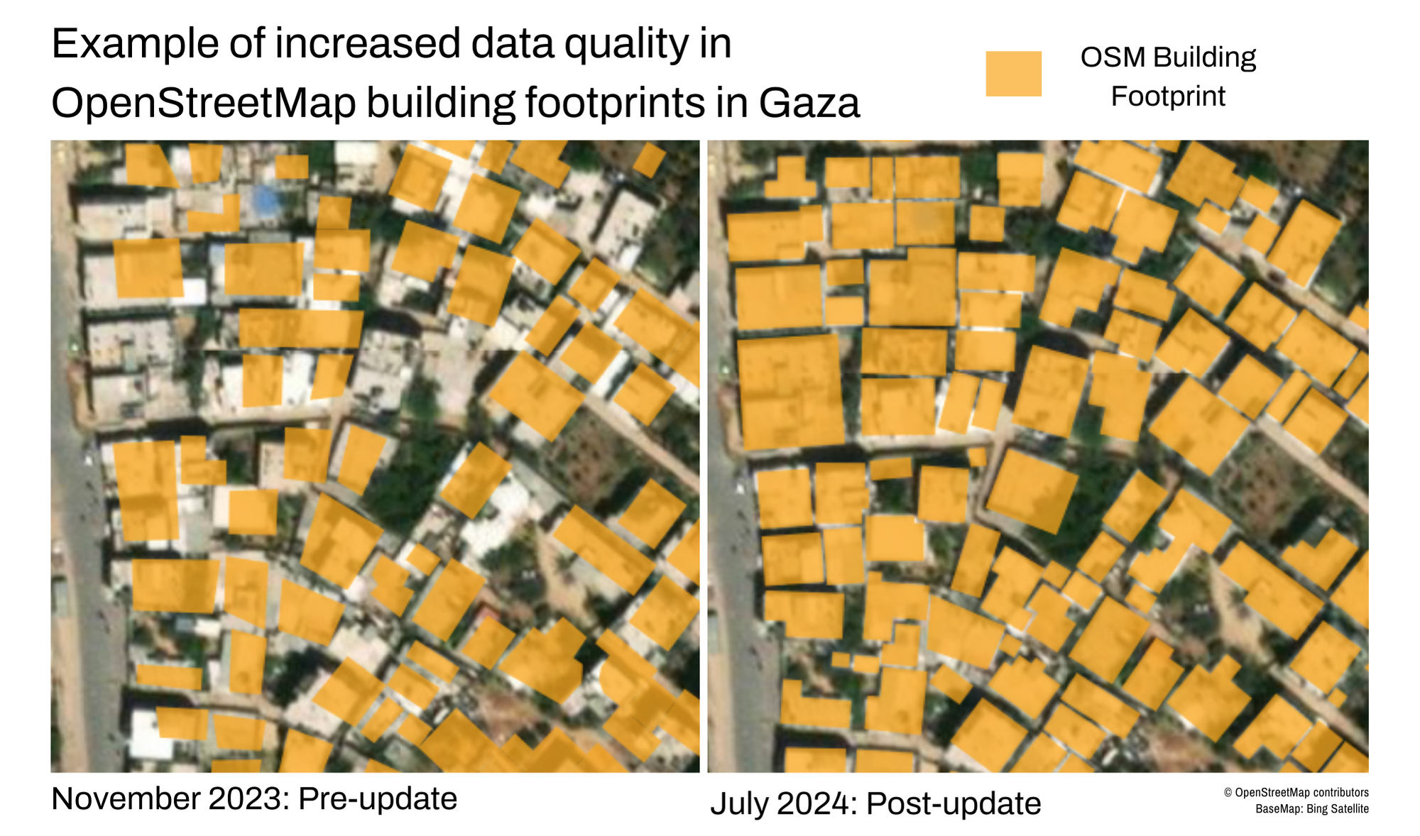
Gaza Building Footprints Pre-Conflict Update 2024
Escalation of conflict in Gaza, starting in October 2023, resulted in a prolonged humanitarian crisis. Initially, understanding the impact of the conflict on existing buildings was challenging because pre-existing datasets from Artificial Intelligence and Machine Learning (AI/ML) models and OpenStreetMap (OSM) were not complete. In response, HOT coordinated a remote mapping campaign with expert OSM volunteers using HOT’s Tasking Manager. Using pre-October 2023 imagery, this effort added a net total of 59,223 buildings to the dataset and improved thousands of existing features through 469,152 map edits.
Background
In areas impacted by conflict, remote damage analyses rely on pre-conflict building footprints to put in context the damage, or rubble, detected by earth observation. When conflict increased in Gaza in 2023, damage analysts began to compile multiple data sources for a pre-conflict building footprints dataset in Gaza, but no building dataset was complete. The high density of buildings and the inability to safely gather on-the-ground information compounded challenges for accurate information. In such hard-to-reach areas, HOT’s remote, crowdsourced, and volunteer mapping methodology proved effective in efficiently collecting detailed building information visible on aerial imagery.
Mapping Campaign: Gaza Update 2024
Following consultation with humanitarian analysts, NGOs, and UN partners, HOT coordinated the creation of all building footprints in the Gaza in OpenStreetMap (OSM), pre-conflict. HOT’s community of expert OSM volunteers and data validators completed all the data work, coordinating through HOT’s Tasking Manager. OSM documentation can be found here. The volunteers meticulously added missing buildings and improved existing data.
Living byHOT’s data principles, all data work, especially in conflict zones, must balance usefulness with possible risks and mitigations. As in other areas that are hard to reach due to conflict, HOT balanced the data needs with responsible data practices based on the context. In this case, only expert HOT volunteers were assigned to work on the Tasking Manager project in Gaza to address data quality and protection concerns.
Project Outcomes
A net total of 59,223 buildings were added to the OSM buildings dataset in Gaza, and thousands of existing building geometries (shapes) were improved. All of Gaza was also verified by a human familiar with OSM building guidelines for data quality checks. The resulting dataset has 18% more buildings than the leading dataset by Microsoft, created by machine learning (as of September 2024). The updated OSM data in Gaza is live in OpenStreetMap and available via HDX or HOT’s Export Tool. The data is being used now by humanitarian conflict researchers and information management NGOs to create more accurate damage estimates and plan for humanitarian response.
Remote mapping work and HOT’s Conflict and Displacement Program leads the way for us to fill humanitarian data gaps in conflict areas by mapping pre-conflict baselines for infrastructure. When all buildings in conflict zones are reflected in one pre-conflict dataset, data analysts can track which buildings are functional and which are destroyed. Eventually, we will be able to track demolition and rebuilding when the context allows. For information on recent damage in Gaza, visit UNOSAT’s Gaza Interactive Data Platform or the Decentralized Damage Mapping Group.
Get Involved
HOT welcomes data requests from the humanitarian community and will aim to balance requests with anticipated usefulness, available resources, and protection issues to address humanitarian data gaps in conflict zones worldwide.
Are you with an organization working in conflict affected areas or interested in supporting other ways? Contact us at data@hotosm.org to partner, volunteer, or donate to ongoing efforts in conflict-affected areas worldwide.
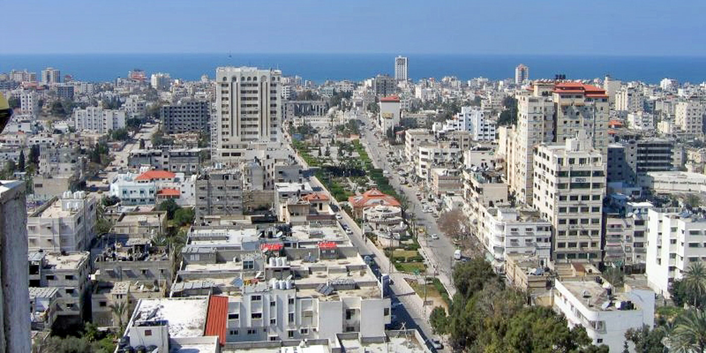
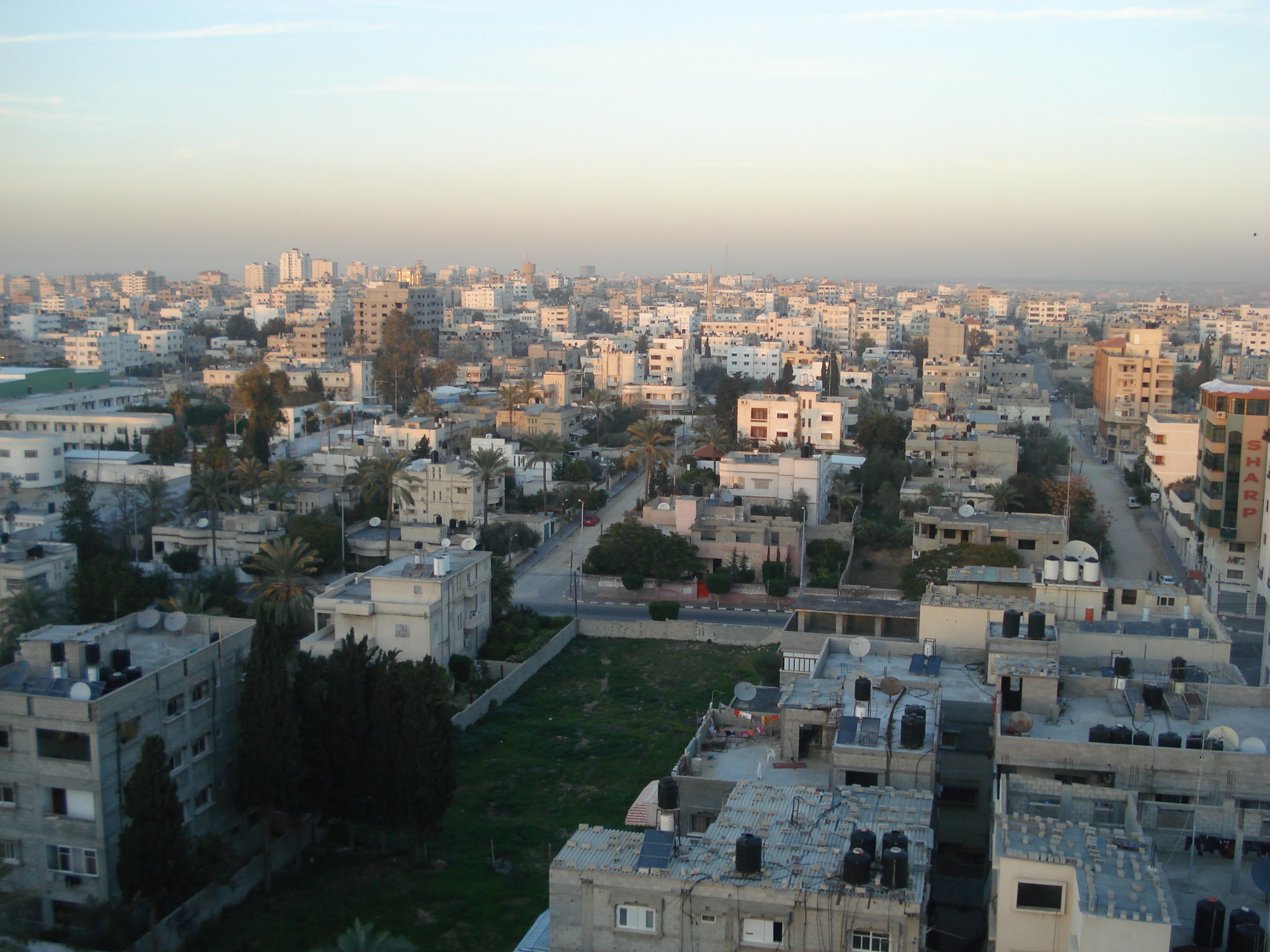
Cover photo: Al Jazeera English - War in Gaza 023 - Licensed under CC BY-SA 4.0
Recent news from Gaza Building Footprints Pre-Conflict Update 2024 (View all news)
The Power of Volunteers: Remote Mapping in Gaza and Other Conflict Areas
As damage reaches record levels in the Gaza Strip, expert volunteers coordinated by HOT have recently completed a 5-month project to create the most comprehensive building footprints dataset available for Gaza using OpenStreetMap. Looking at pre-October 2023 imagery, this effort added a net total of 59,223 buildings to the dataset and improved thousands of existing features. In this post, we share how our work in Gaza illustrates our approach to open mapping in conflict zones, and examines the potential role of artificial intelligence and machine learning (AI/ML) in the sector.