Collaborative and Inclusive Mapping of the Middle Solimões, Amazon

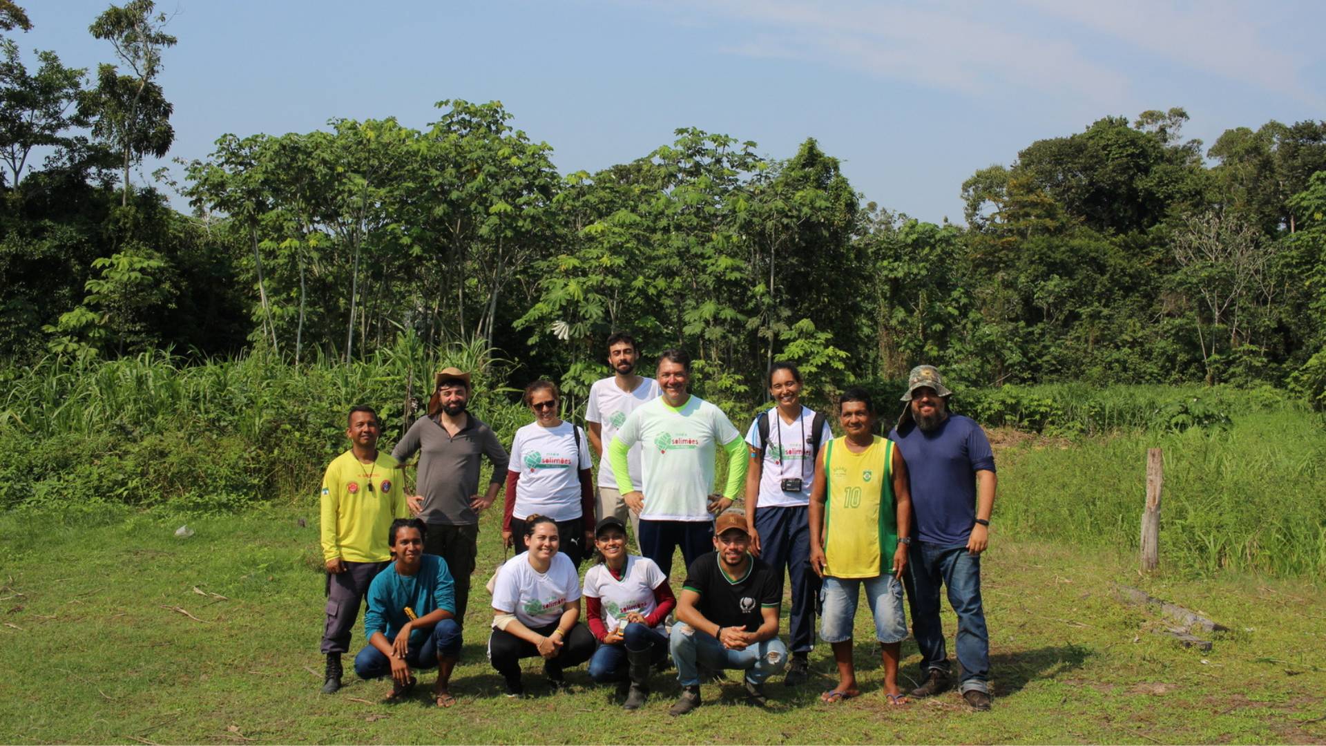
The Collaborative and Inclusive Mapping Project of the Middle Solimões is an initiative developed in partnership between researchers from the Federal University of São João del-Rei, the Higher Studies Center of Tefé at the University of the State of Amazonas, and the Latin American and the Caribbean Hub at HOT. This project aims to fill cartographic gaps and provide accurate information about the Middle Solimões, using the OpenStreetMap (OSM) platform as a central tool.
CONTEXT
Brazil, renowned for its vast territory and diverse ecosystems, houses the globally significant Amazon, a biodiversity reservoir. However, the Amazon’s immense size leads to cartographic challenges, resulting in cartographic invisibility. This phenomenon has profound implications, impacting territorial rights, humanitarian aid distribution, and route planning efficiency.
The Amazon region grapples with cartographic invisibility, hindering accurate representation on maps and GPS. This information gap affects the local population’s geographical identification, impacting matters like territorial rights and humanitarian assistance. Addressing this, the Collaborative and Inclusive Mapping Project utilizes advanced technologies, including Remotely Piloted Aircraft and GNSS Receivers.
The objective is to alleviate cartographic invisibility and promote sustainable development. Learning from the successful Tefé project, community engagement and peer-to-peer learning are crucial. This proposal aims to expand the project’s impact to the broader Middle Solimões region, building on proven strategies for a more comprehensive approach.
.jpg)
APPROACH
This project places a strong emphasis on collaborative mapping as a means to surmount challenges. The OSM platform takes center stage, acting as a pivotal tool that facilitates cooperation to fill cartographic gaps. The lessons gleaned from the Tefé project underscore the effectiveness of such collaborations and showcase the potential to empower local communities.
Acknowledging potential challenges in equipment delivery, logistical intricacies during fieldwork, and unpredictable weather conditions, the project draws on the insights derived from the Tefé initiative. Despite these anticipated obstacles, the team maintains unwavering dedication to gathering invaluable data through the utilization of innovative technologies, including Remotely Piloted Aircraft and GNSS Receivers. The team’s resilience in the face of challenges reinforces the project’s inherent potential for success.
Expanding on the comprehensive approach established in the Tefé project, the Collaborative Mapping Project in the Middle Solimões incorporates a multifaceted strategy encompassing seminars, workshops, field data collection, the installation of GNSS bases, and RPA flights. The overarching goal is to capture high-resolution images and gather data for geographical analyses, ultimately contributing to a more precise and comprehensive representation of the region on maps.
.jpg)
OUTCOME AND IMPACT
The aerial data collection has enhanced the monitoring of OSM’s outdated data, particularly in the São Luís do Macarí community, which undergoes frequent landslides causing constant changes in its maps. Training local students has facilitated regular area monitoring, improving access for public bodies. This is crucial as children in this community, lacking a local school, must trek over 2 km through the forest during the dry season to reach their study location. The community has long suffered from landslides, making field data essential for analyzing and monitoring these events.
Additionally, Brazilian researchers have developed and deployed low-cost GNSS technology to tackle outdated cartography issues, especially in remote regions like the Amazon. Supported by the Humanitarian OpenStreetMap Team and in collaboration with the Centro de Estudos Superiores de Tefé and Universidad do Estado do Amazonas, this technology provides millimeter-accurate data essential for drone mapping and cost-effective mapping projects. Despite challenges such as internet access in remote areas, these innovative methods show significant potential for local professionals and researchers to update geographic databases, enhance detailed mapping of erosion-prone areas, and engage communities in environmental management and disaster prevention. This technological progress strengthens local resilience and capacities.
LEASSONS LEARNED
The Collaborative Mapping Project of the Middle Solimões reiterates the significance of local engagement and collaboration to overcome cartographic challenges in the Brazilian Amazon. By employing innovative technologies and leveraging the OSM platform, the project not only aims to fill cartographic gaps but also seeks to empower local communities, preserve cultural and environmental diversity, and contribute to sustainable development in the region.
The proposed path forward involves processing and analyzing the collected data, continuous updates to the OSM, and dissemination of results through conferences, scientific articles, and various channels. This approach promotes knowledge sharing and encourages similar initiatives in other regions of the Amazon and around the world. The experiences gained from the Tefé project provide a solid foundation for the success of the Collaborative Mapping Project in the Middle Solimões.
PARTNERS
- Federal University of São João del-Rei
- The Higher Studies Center of Tefé at the University of the State of Amazonas
- Civil Defense of Tefé
Recent news from Collaborative and Inclusive Mapping of the Middle Solimões, Amazon (View all news)
Community Cartography: Low-Cost GNSS Receiver in the Mapping of Medio Solimões
Explore how low-cost GNSS technology is revolutionizing mapping in the Medio Solimões, with support from HOT and the LAC Hub. This innovative project, conducted by the Federal University of São João del-Rei, promotes participatory cartography, improving resource management and resilience of riverside communities in the Brazilian Amazon.
Cartografía Comunitaria: Receptor de Bajo Costo en el Mapeo del Medio Solimões
Explora cómo la tecnología GNSS de bajo costo está revolucionando el mapeo en el Medio Solimões, con el apoyo de HOT y el LAC Hub. Este proyecto innovador, llevado a cabo por la Universidad Federal de São João del-Rei, promueve una cartografía participativa, mejorando la gestión de recursos y la resiliencia de las comunidades ribereñas en la Amazonía Brasileña.


