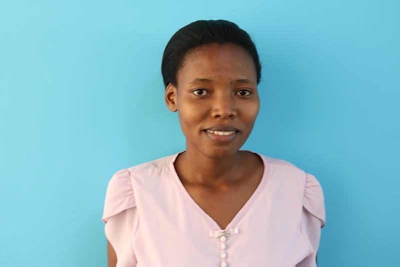
Hawa Adinani
Member At-Large / Tanzania
I am an aspiring human geographer currently working at the University of Dar es Salaam in Tanzania and a master's candidate in Public Health. I have over 8 years of experience in the open geospatial data field, community mapping, partnerships, and communication. Previously, I served as the Programs Director at OpenMap Development Tanzania, managing teams, overseeing project implementation, donor relations, and fostering partnerships. I also served as a communications specialist at the Humanitarian OpenStreetMap Team in Tanzania during the implementation of the Ramani Huria Project
I am passionate about open mapping for humanitarian action and have been involved with OpenStreetMap and HOT since 2015.
On the Web
Posts
Feb. 26, 2018
Newly-revealed Shina boundaries offer unprecedented hyperlocal data for decisionmakers
Recent population figures estimate Dar es Salaam’s population to be over 5 million, with an annual population growth of 5.7%. Despite the rapid growth of the city, almost 70% of the city is comprised of informal unplanned settlements - a figure that is predicted to grow dramatically as the city expands.
Dec. 4, 2018
Building Disaster Resilient Countries/Cities Through Open Spatial Data and Exposure Analysis.
Dec. 12, 2019
What we Learnt from Mapping African Megacity Dar es Salaam
Since the project kicked-off in 2015, Ramani Huria, funded by the World Bank and implemented by Humanitarian OpenStreetMap Team (HOT), has managed to map three-quarters of one of Africa’s megacities, Dar es Salaam. As a city that is particularly vulnerable to floods, the team focused their mapping on flood-prone areas, especially in informal settlements where vulnerable populations live.
Oct. 8, 2020
Using Low-Cost Equipment to Gather High Precision Data for Flood Modeling
In collaboration with Deltares and with funding from GIZ, OMDTZ was able to collect accurate and precise river cross-section surveys using an innovative, low-cost technique developed by the Resilience Academy and OMDTZ.
Oct. 22, 2020
Community Mapping for Urban Risk in Mwanza, Tanzania
Spatial Collective, Humanitarian OpenStreetMap Team, and OpenMap Development Tanzania extend their engagement to Mwanza
Nov. 5, 2020
Equipping University Students with Digital Geospatial Skills: More than 10,000 Flood Data Points Mapped in Eight Weeks
Ramani Huria has been training students in Dar es Salaam and equipping them with industrial and technical skills for the 21st Century while generating vital high-precision, low-cost data for flood prediction and preparedness.
March 25, 2021
Exposure Data and Models Shared with Disaster Management Stakeholders in Tanzania
The METEOR project has been a three-year initiative supported by the UK Space Agency International Partnership Programme to generate disaster exposure data and models in two pilot countries — Tanzania and Nepal. The process has since been repeated in another 45 official development assistance countries.
May 25, 2021
OMDTZ Launches Fellowship Program Focusing on Emerging Technology
OpenMap Development Tanzania announces the start of Open Skies Fellows: Africa Tech for African Data, implemented in partnership with HOT and Uhurulabs and supported by Fondation Botnar.
July 2, 2021
Fostering the Use of Open Mapping Technologies in Government Departments — Mwanza, Tanzania (by OMDTZ)
After five months of data collection in Mwanza, on 12th to 15th April 2021, the Ramani Huria consortium facilitated a final workshop with key government officials to share the methodology, collected data, and discussions on how they can use the data for disaster management and risk reduction in Ilemela and Nyamagana.


