Disaster Services — 15 October, 2022
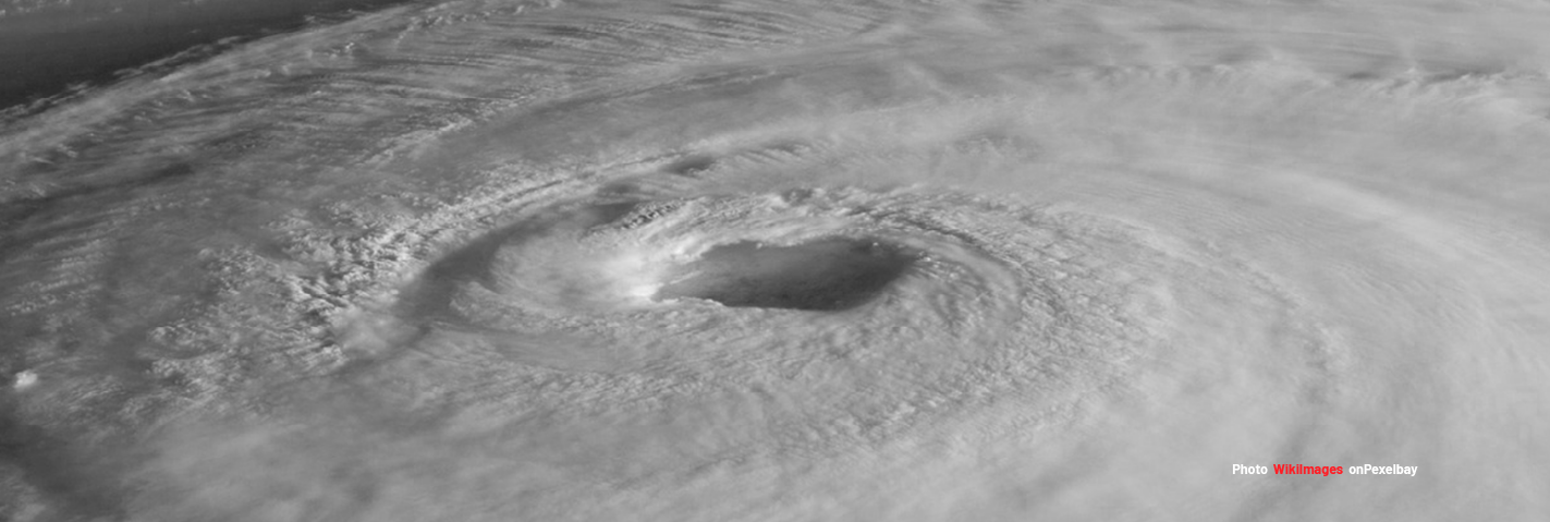
Tropical Cyclone Julia 2022 Response

Tropical Cyclone for JULIA-22 Activation Stats:
Community Mappersⓘ Total number of Mappers from Missing Maps
Total Map Editsⓘ Total number of edits from Missing Maps
Buildings Mappedⓘ Total number of buildings mapped from Missing Maps
Roads Mapped (KM)ⓘ Total length of roads mapped from Missing Maps
This is in activation by the OpenMappingHub-LATAM to support disaster response to the Floodings in Guatemala.
October 15
“Tropical Storm Julia strengthened to hurricane level 1 and made landfall in Nicaragua causing significant rainfall in Guatemala, causing floods, landslides, and related impact”
October 12
“Tropical Cyclone JULIA-22 can have a medium humanitarian impact based on the maximum sustained wind speed, exposed population, and vulnerability.”
Size-up Details
Event Name:Hurricane Julia 2022
GDACS Alert Lvl:Red (2.5)
Location: Nicaragua, Honduras & Guatemala
Geographic Scope: Multiple Country Landfalls
Estimated Humanitarian Impact: 520 thousand in Category 1 or higher
Estimated Duration: Weeks to Months
Event Scope: Moderate
Local Contacts: LATAM Hub
Anticipated Needs: Filling Gaps in Basemap, Map Products
Request(s): There are no requests from partners currently
Need for Activation: Response initiated by OpenMappingHub-LATAM
Active Orgs: OMH-LATAM, HOT, Communities in region
Lead Orgs: OMH-LATAM, HOT
October 15
Context:“Tropical Storm Julia drenched northern Central America with torrential rains that triggered deadly floods and landslides, compounding the already devasting impacts of an active rainy season.
- 851K People affected in Guatemala (Julia) Source: CONRED
Here is the list of projects to map the affected area (repurposed projects from Open Cities):
-
11907, HURRICANE JULIA, GUATEMALA: IZABAL - LOS AMATES NORTE 2
-
12017, HURRICANE JULIA, GUATEMALA: IZABAL - EL ESTOR SURARCHIVED

