Disaster Services — 10 November, 2020
Tropical Cyclone Rolly/Goni Response

Tropical Cyclone Rolly/Goni Activation Stats:
Community Mappersⓘ Total number of Mappers from Missing Maps
Total Map Editsⓘ Total number of edits from Missing Maps
Buildings Mappedⓘ Total number of buildings mapped from Missing Maps
Roads Mapped (KM)ⓘ Total length of roads mapped from Missing Maps
Hot supported MapBecks to map areas affected by Rolly and Ulysses
Context
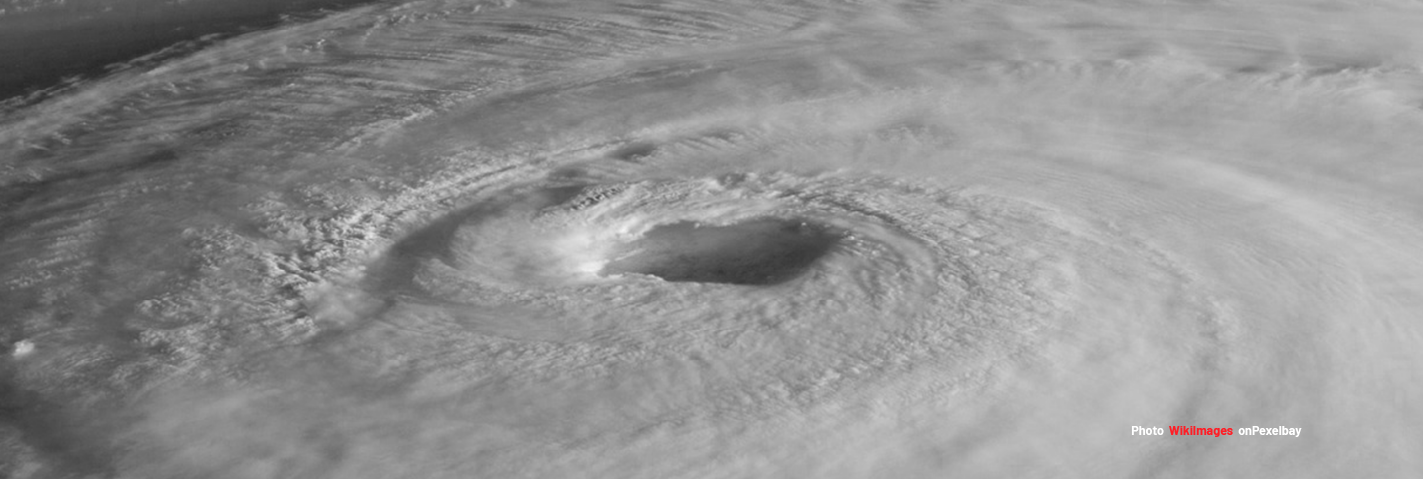
“On the evening of 27 October, a tropical depression developed over the Western Pacific Ocean, Northwest of Guam. Once inside the Philippine Area of Responsibility (PAR) it will be given local name “Rolly” (GONI). As per the Philippines Atmospheric Geophysical and Astronomical Services Administration (PAGASA) bulletin at 11.00 am today (29 Oct), GONI had intensified into a severe tropical storm while moving westward, with a maximum sustained winds of 95 km/h near the center and gustiness of up to 115 km/h. It is forecast to enter the eastern boundary of the PAR this afternoon or evening. It is forecast to move generally westward by Saturday evening, then west-northwestward by Sunday as it moves towards Quezon - Aurora area before making landfall on Sunday morning, November 1. It is forecast to reach typhoon category within 24 hours and will continue to intensify while moving over the Philippine Sea. As it moves towards eastern sections of Central Luzon (Region III) and Southern Luzon (Region IVa, Region V), it may bring heavy rains over those areas starting this Friday.”
Size-up Details
Event Name: Tropical Cyclone Goni (International Name)
Type ofEvent: Slow Onset (days before impact)
Location: Western Pacific
Geographic Scope: Multiple Countries (Philippines and Vietnam)
Estimated Humanitarian Impact: 3.5 Million impacted by Category 1 or Higher
Estimated Duration: Days to Weeks
Event Scope: Minor to Moderate
Local Contacts: OSM PH
Request(s): None Yet
HOT Current Capacity: Current capacity to initiate a response is good
Need for Activation: Low to Moderate
Response Details
MapBecks coordinated the mapping of the following areas:
9723, CAMARINES SUR AND NORTE - LAND USE
9722, #ROLLYPH - QUEZON PROVINCE - LAND USE
For more details visit the blog post

