fAIr
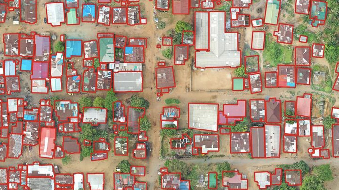
fAIr is HOT’s open GeoAI platform that connects mappers with GeoAI models they can use and adapt in their own areas for mapping for social good. Mappers can pick a model, run it, adapt it to their locality and improve it.
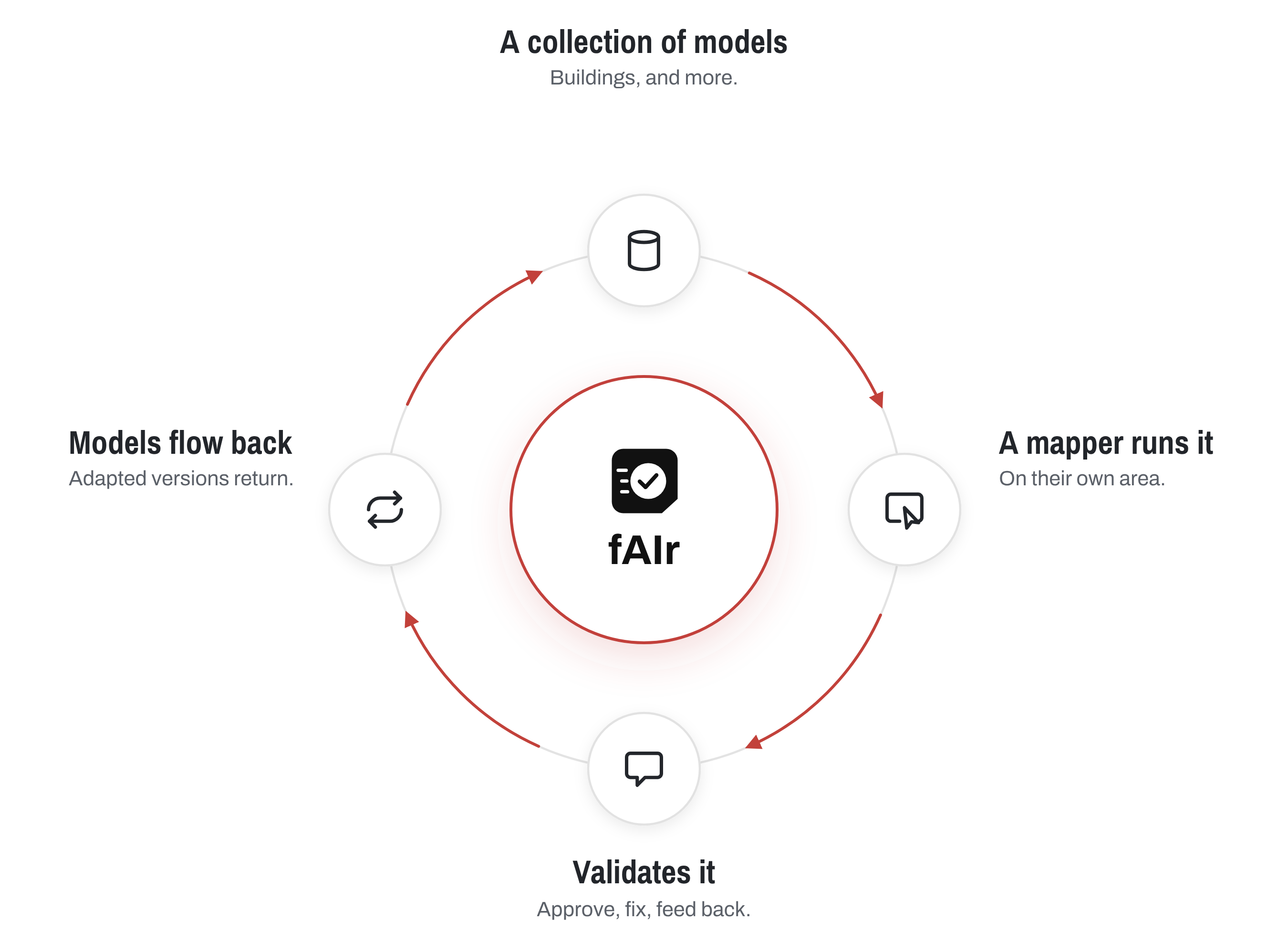
People come to fAIr in different ways, and they all share the same library of models. A mapper might find a model that spots buildings, roads or solar panels, run it on their own area, and check what it found. When that model isn’t quite right for their region, they can teach it with local examples and share the improved version with others. Developers can build entirely new models, like ones that find potholes on highways, and add them to the library for anyone to use. Every contribution, big or small, helps fAIr get better over time. You can try fAIr here.
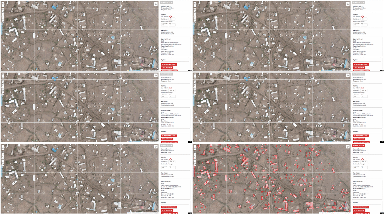
Image showing results for building detection using fAIr in Kakuma
fAIr process:
1 - Create Model
Create a customized and localized AI models using open source (or your) imagery and your customized labels with support by OSM open data
2 - Run Prediction
Run prediction/inference in a live environment or define your area of interest to run your local model and get the data.
3 - Feedback
Get live human feedback about the quality of your localized model to support your decision to enhance the model accuracy.
Community Driven
fAIr follows a community driven approach to decide on the features that will be implemented. We are continuously engaging with local communities to shape the direction and the future of AI-assisted humanitarian mapping
As part of the community approach, humans are involved in the whole fAIr process, from creating models till reaching high quality data and gather feedback
Humans in the loop
As part of the community approach, humans are involved in the whole fAIr process, from creating models till reaching high quality data and gather feedback
The AI suggests, you decide
fAIr isn’t an AI that maps on its own. People stay in control at every step. It works with clear, detailed aerial or drone imagery that is openly licensed. Each time you run a model, you get a map file of the features it found, and you check the results however suits you: confirm them in MapSwipe, visit the places in person, or fix them by hand in a map editor. Nothing is added to OpenStreetMap automatically, so you decide where the data goes, whether that’s OpenStreetMap, another open data platform, or a simple download. You can start by using a model someone else built, then learn to adapt and share your own. Developers can also add new models for everyone to use.
Links
fAIr News
Open Call for organized GeoAI competitions - fAIr 2026
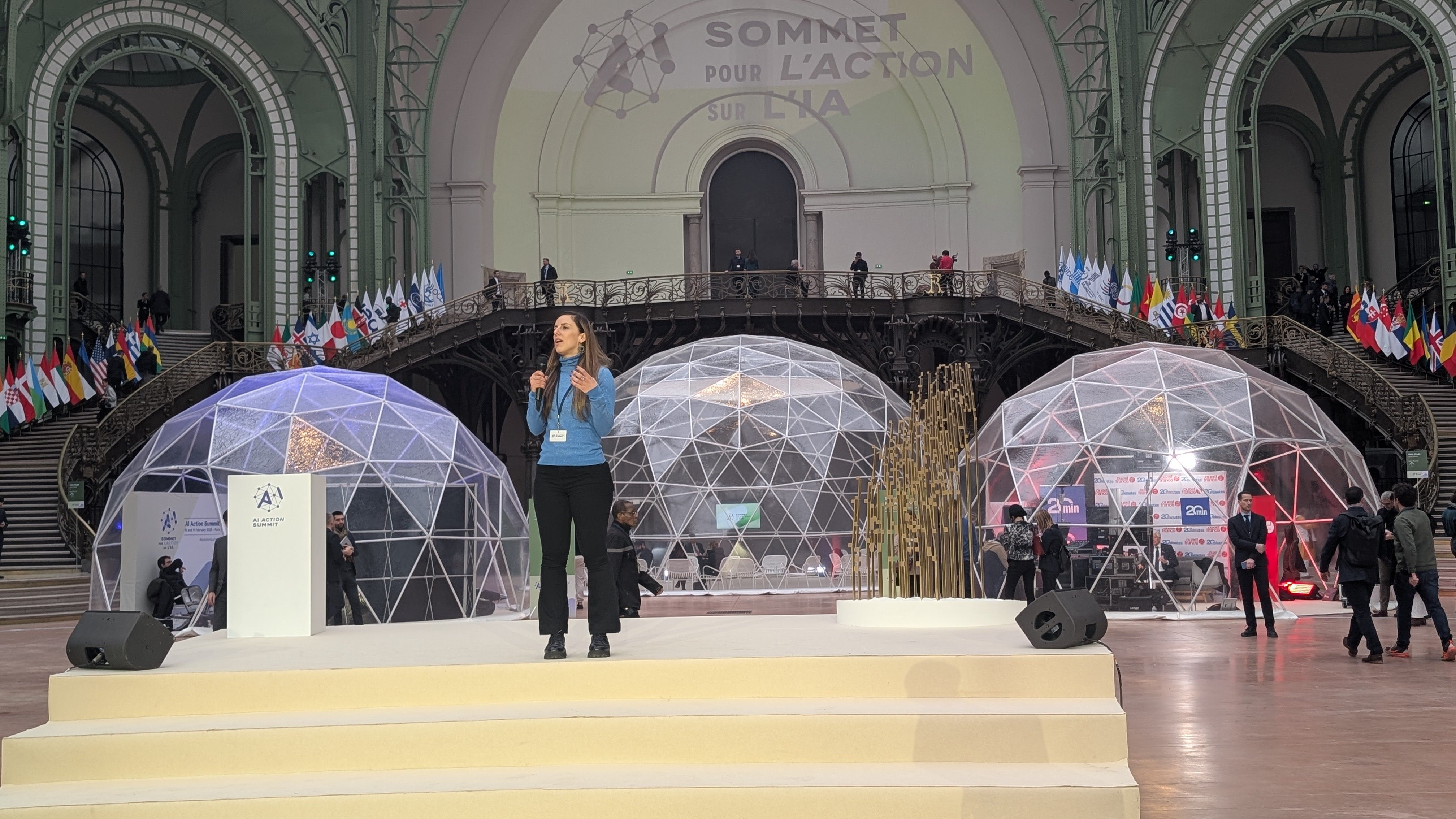
The Paris Chronicles: Attending the AI Action Summit to present our AI-assisted mapping service
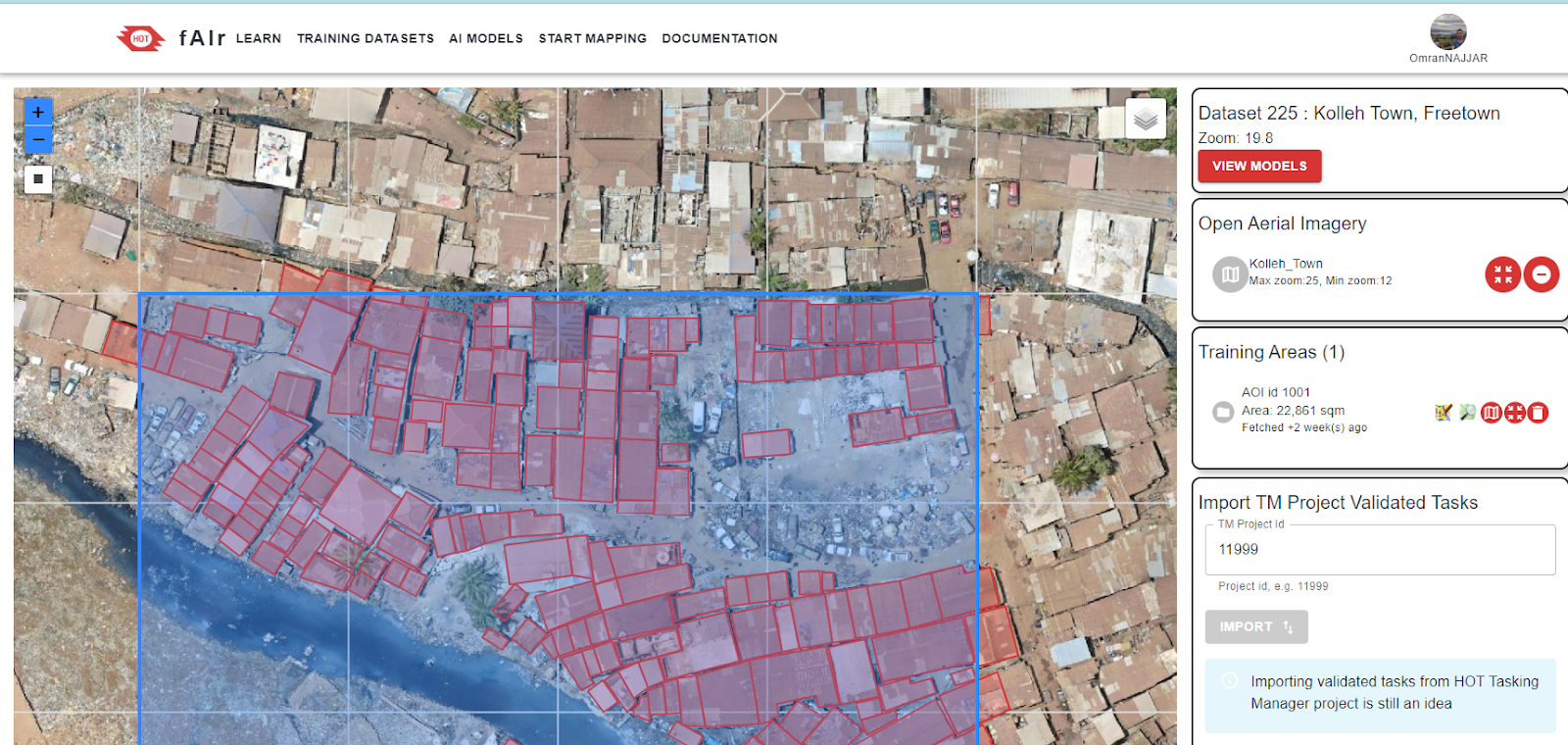
fAIr in Production is Available for Everyone