Scaling Open Drone Crews Across West African Cities
Senegal, Sierra Leone
Our recent community-owned drone mapping initiative in Freetown produced high-quality drone imagery that was cost-effective and truly collaborative, involving women, youths, and persons with disabilities. The Open Drone Crew collected over 130,000 high-resolution images covering 75 km² for under $500 per km², data which is enabling inclusive urban planning, waste management, and property database updates. Incentivized by this impact, we’re replicating the Open Drone Crew initiative to six cities in Sierra Leone and one city in Senegal by working with city authorities and local partners to address daring use cases and multiple data gaps for sustainable cities.
Overcoming Barriers to Urban Planning in Our Cities
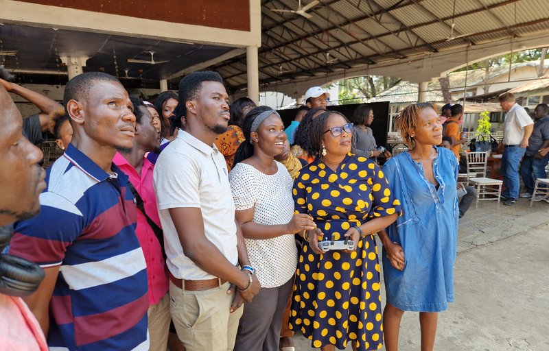
Residents of Freetown, engaged in a drone mapping training exercise.
Cities across West Africa face various challenges that affect urban planning, the implementation of municipal regulations, waste management strategies, emergency response capabilities, and climate adaptation initiatives. The complex boundaries of our communities further inhibit adequate resource allocation. Planning and delivering essential services, such as clean water, sanitation, power supply, public infrastructure, reliable transportation, and security, which are critical to equitable development, within our region, becomes difficult.
Parcel imagery is a necessity for digitizing our communities. However, acquiring high-quality commercial imagery is expensive for cities, compounding the obstacles we already face. Community-led drone mapping is a cost-effective alternative that not only makes digitizing our intricately structured neighborhoods possible but also embeds the local capacity to update and keep this data relevant.
During this project, we will be supporting local governments in seven cities, Kenema, Port Loko, Makeni, Koidu, Moyamba, Bo in Sierra Leone, and Dakar, Senegal, establishing Open Drone Crews, who will collect high-resolution drone imagery to support various initiatives, from revenue mobilization to public health, and disaster response. Teams will explore GIS fundamentals and applications, utilising open licensed imagery on OpenAeriaMap, remote mapping tools, and more.
Establishing a Regional Network of Open Drone Crews
The project will kick off with establishing drone mapping crews in the six cities in Sierra Leone, before moving to Dakar, Senegal. Approximately 100 residents will be trained as drone pilots, and 35 municipal staff will be trained in data processing and analysis. The training will be done in collaboration with our local partners, Slum Dwellers International, CODOHSAPA FEDURP, and UrbaSEN, engaging a diverse group of informal settlers, women, and young people to ensure inclusive data collection systems. Trainees will learn how to use our open-source, end-to-end toolkit: DroneTM, Tasking Manager, fAIr, Field Tasking Manager, OAM, and MapSwipe, as well as other open-source GIS tools for analysis.
The data they collect will support their city planners with revenue mobilisation, public health planning, and disaster response interventions. And serve as a basis for policy advocacy.
