OpenAerialMap (OAM)
OpenAerialMap is an open service to provide access to a commons of openly licensed imagery and map layer services. Download or contribute imagery to the growing commons of openly licensed imagery.
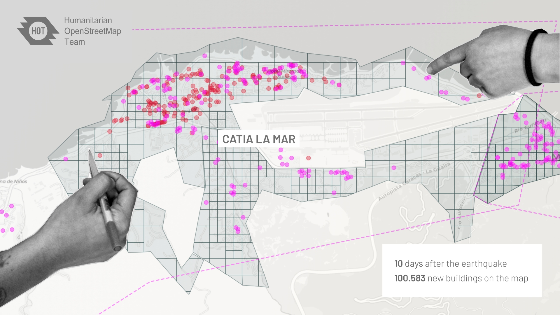
Although imagery from satellites, unmanned aerial vehicles (UAVs), and other aircraft is becoming increasingly available after a disaster, it is often difficult to determine what is available and easily access it. OpenAerialMap (OAM) seeks to solve this by providing a simple open way to host and provide access to imagery for humanitarian response and disaster preparedness.
How to Use
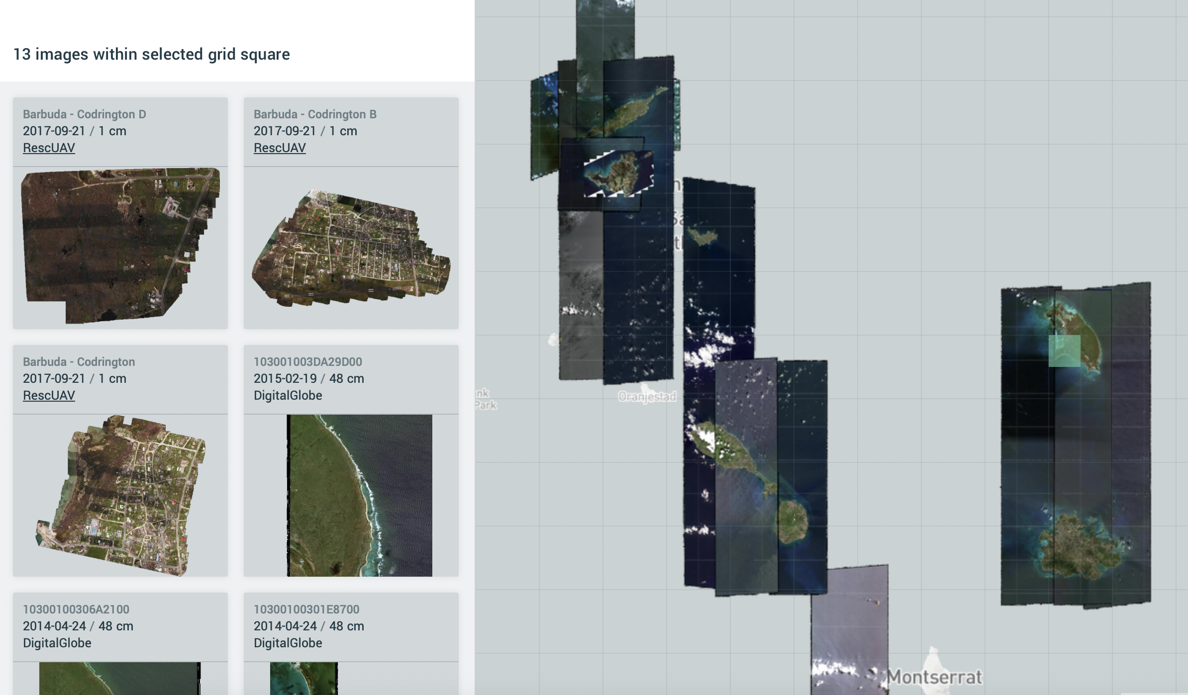
Just pan and zoom on the map to search available imagery. Imagery can be previewed by selecting a tile and browsing the sidebar. Imagery can be downloaded or serviced to another application. You can also contribute by uploading your images to the platform.
License
All imagery is publicly licensed and made available through the Humanitarian OpenStreetMap Team’s Open Imagery Network (OIN) Node. The license is CC-BY 4.0, with attribution as contributors of Open Imagery Network. All imagery is available to be traced in OpenStreetMap (OSM).
Join in the Development
There are plenty of ways to get involved in OpenAerialMap. Check out the GitHub repository to learn more about the design and how to get involved in the project.
How does it work?
OpenAerialMap (OAM) is a set of tools for searching, sharing, and using openly licensed satellite and unmanned aerial vehicle (UAV) imagery.
OpenAerialMap creates a place for mappers to store and share their work with the rest of the community. Through this database, everyone has a go-to point to start helping out, whether it’s drone pilots in areas of crisis or mappers who want to trace from home. If you’re a provider of aerial imagery and would like to get involved, get started and contribute.
Links
OpenAerialMap Website
OpenAerialMap GitHub
HOT Technical Documentation
Recent News