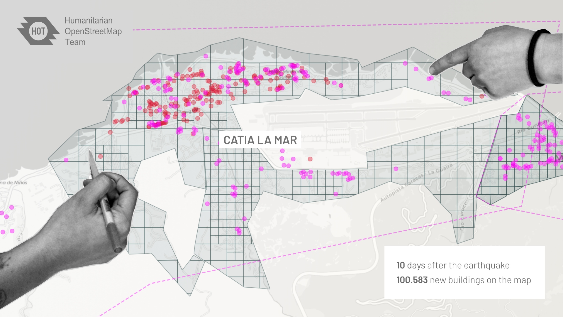
HOT Export Tool
The HOT Export Tool is an open service that creates customized extracts of up-to-date OSM data in various file formats, such as ESRI shapefiles (.shapefile), Google KML (.kml), GeoPackage (.gpkg) dan MBTiles (.mbtiles).
Created by HOT and Geofabrik, with funding from USAID and the World Bank, the HOT Export Tool enables users to more easily obtain access to OSM data. It has been utilized and shared all over the world.
Download the Data
Access up-to-date geospatial information from OpenStreetMap’s 1.3 million users. Export and download maps in a variety of formats including OSM, ESRI Shapfile, SQLite, and Google Earth.
OSM Features
Customize your downloads to select from the thousands of features like roads, buildings, education, emergency, telecommunications, etc. or download everything in an area.
Data Accessibility
Use the API for more flexibility and connect your applications and software to OSM data directly to our database. Or simply download the data to use in your preferred GIS application.
How does it work?
Export tool allows you to access data in less than 5 minutes by following the steps below:
1. Area selection: Select any area you want using a custom polygon or an entire country or region.
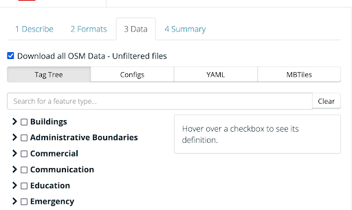
2. Select the data: You can select specific features, or otherwise download all available OSM features within the area. You can utilize the “Download all OSM data” checkbox listed in the Data tab. This will include all tags in the attributes, allowing you to filter the data you need or create a basemap out of exported features.
3. Data quality: The export tool has metrics such as data completeness, which gives you a quick peek of the area that you are planning to export!
4. Select the format for download or APO: Select from formats like GeoJSON, Shapefile, Geopackage, Google Earth KML, Flatgeobuf, and CSV or use the API for faster outputs and to connect to other applications.
Links
Recent News