





Strengthening Open Data Processing and Mapping for Disaster Resilience - Mozambique
Disaster Risk Reduction • Mozambique
In 2024, HOT partnered with INGD/CENOE, and FDC, with the support of the Gates Foundation, to strengthen Mozambique's open data processing and mapping capacity for disaster resilience, training government teams to process their own drone imagery, and working with communities to map the infrastructure and access routes that matter most in a crisis. During the January-February 2026 floods, the government of Mozambique, UNICEF, and other partners used that data to understand what was happening on the ground and where to direct response.
Why This Work Matters
Mozambique's long coastline and nine major river basins make it highly exposed to climate disasters such as flooding. To manage these frequent crises, the government relies on its National Institute for Disaster Risk Management and Reduction (INGD), working through CENOE, its National Emergency Operations Center, to predict, prepare for, and protect communities ahead of a crisis.
Since 2019, INGD has partnered with different stakeholders to build a national early warning system, initially focused on drought and now expanding to floods and cyclones.
To close the data gaps identified, INGD/CENOE and FDC worked with HOT to strengthen government data systems and expand community-level mapping. Districts were selected for participatory field mapping based on high population density and gaps in existing OpenStreetMap data.
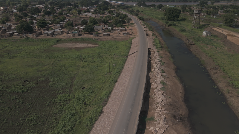
Roads on the route to Chókwè, Mozambique, destroyed by the January 2026 floods.
How the Project Was Implemented
Phase 1. Government Systems
To ensure long-term sustainability, this phase centered on building internal government capacity, with three core areas of focus:
- Technical Training: HOT hosted a national workshop for 23 staff from INGD and CENOE, training technical teams in open mapping workflows, drone imagery processing, and data analysis.
- Infrastructure Investment: A photogrammetry workstation and server were installed directly inside the INGD and CENOE offices, giving government teams the ability to process their own drone footage.
- Long-Term Ownership: National INGD/CENOE Staff were trained as potential open-mapping "champions" within their own ministries and agencies.
Swipe left to see more →
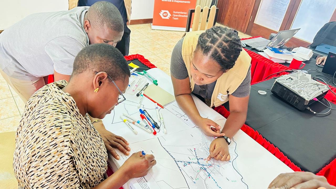
A training workshop with FDC .
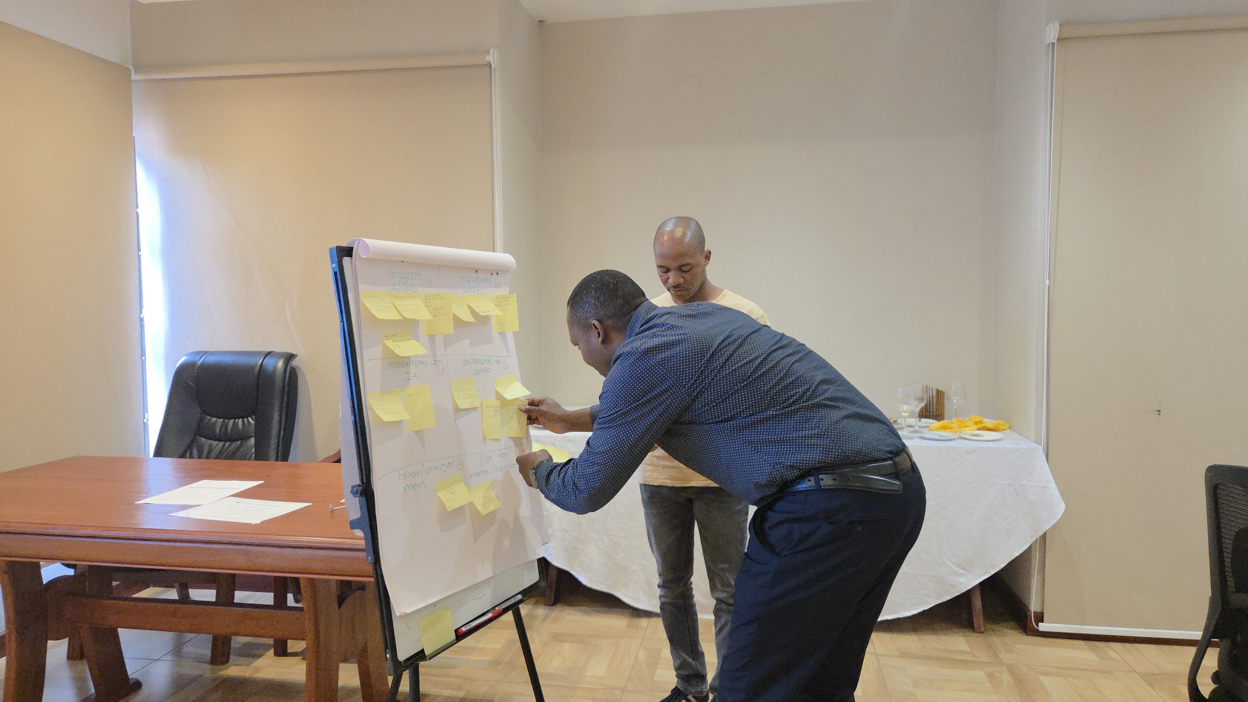
National staff training on the digital tools used to generate, process, and apply geospatial data .
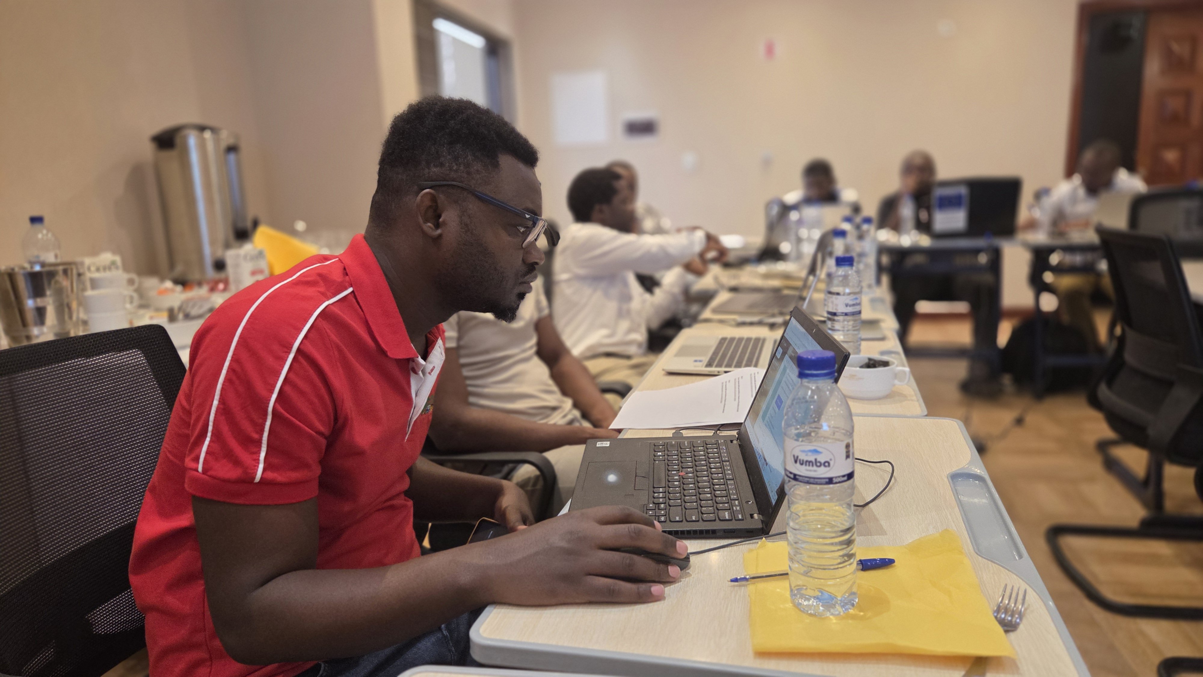
National staff training on digital tools generate, process, and apply geospatial data .
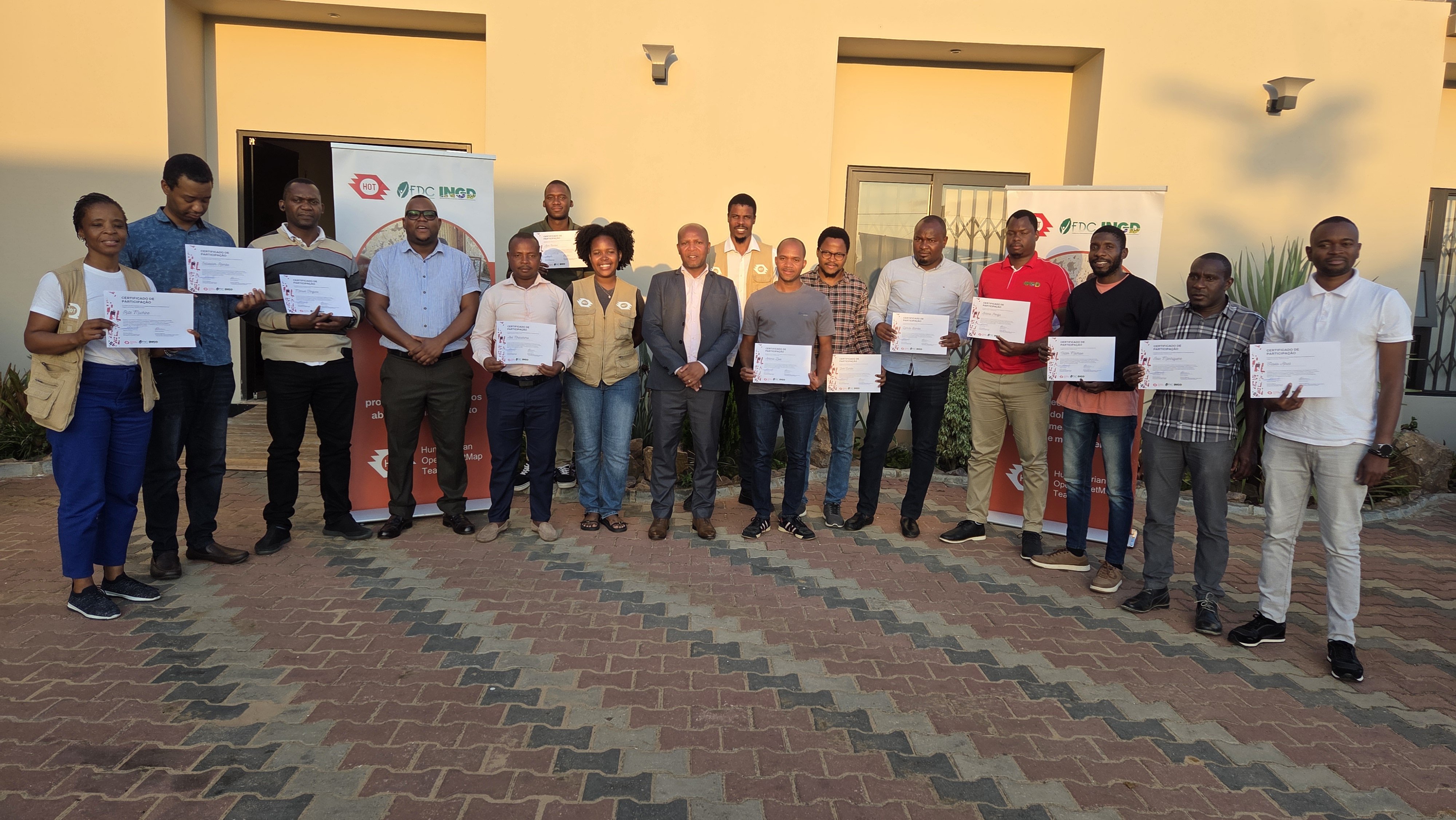
National staff with their certificates, after completing the training.
Phase 2 — Community Mapping
With government systems strengthened, HOT and FDC then worked directly with communities in Búzi, Chókwè, and Mapai.
- Field operations brought together community members and local government officials for training and participatory mapping sessions.
- Teams engaged local leadership, including traditional chiefs, headmen, district commissioners, church leaders, ward committees, local police, and district officers across the education, health, and agriculture sectors.
- Using mobile tools, the teams mapped schools, health facilities, water points, flood-prone roads, evacuation areas, local markets, and agricultural land.
Swipe left to see more →
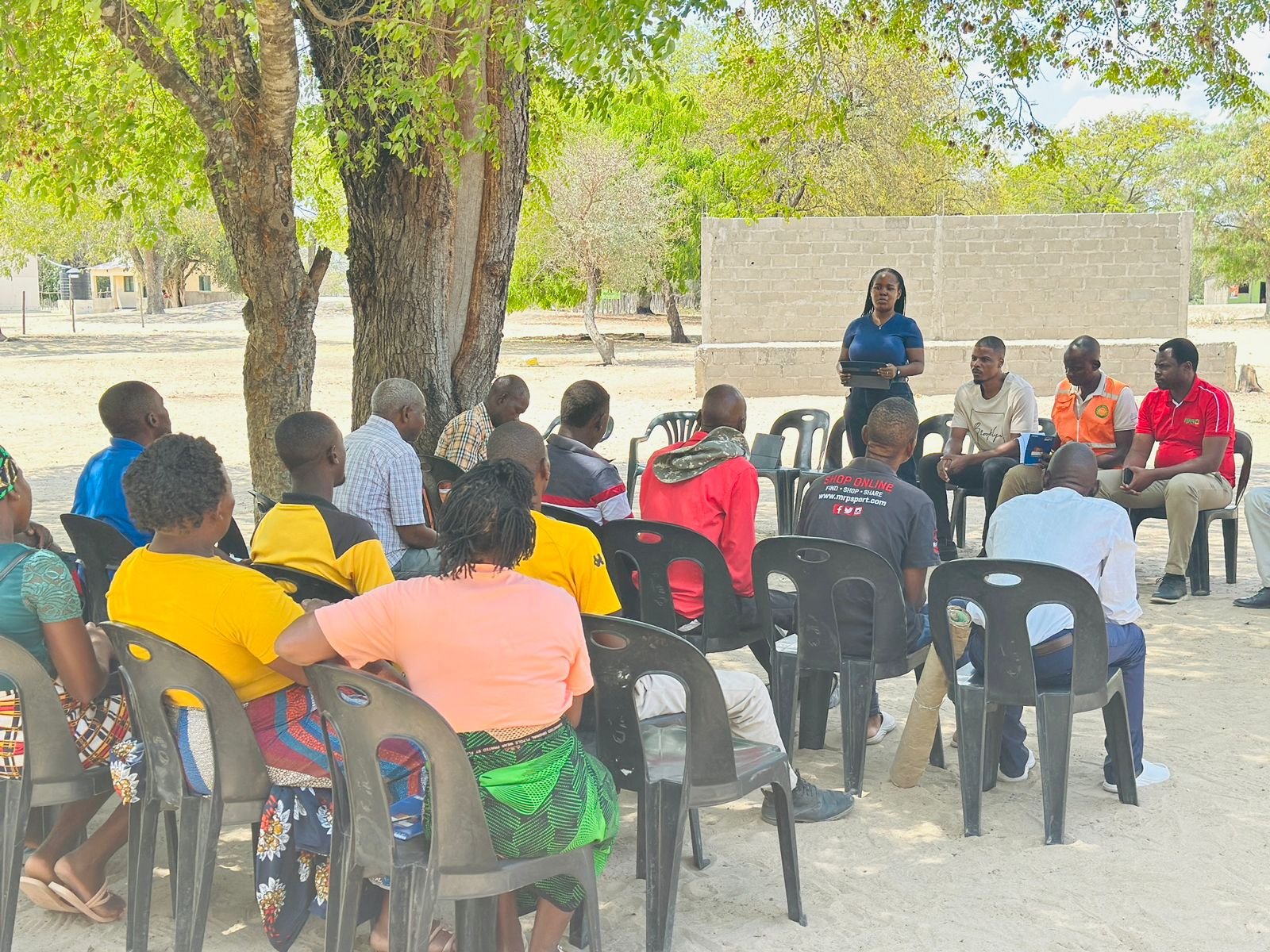
Community sensitization session
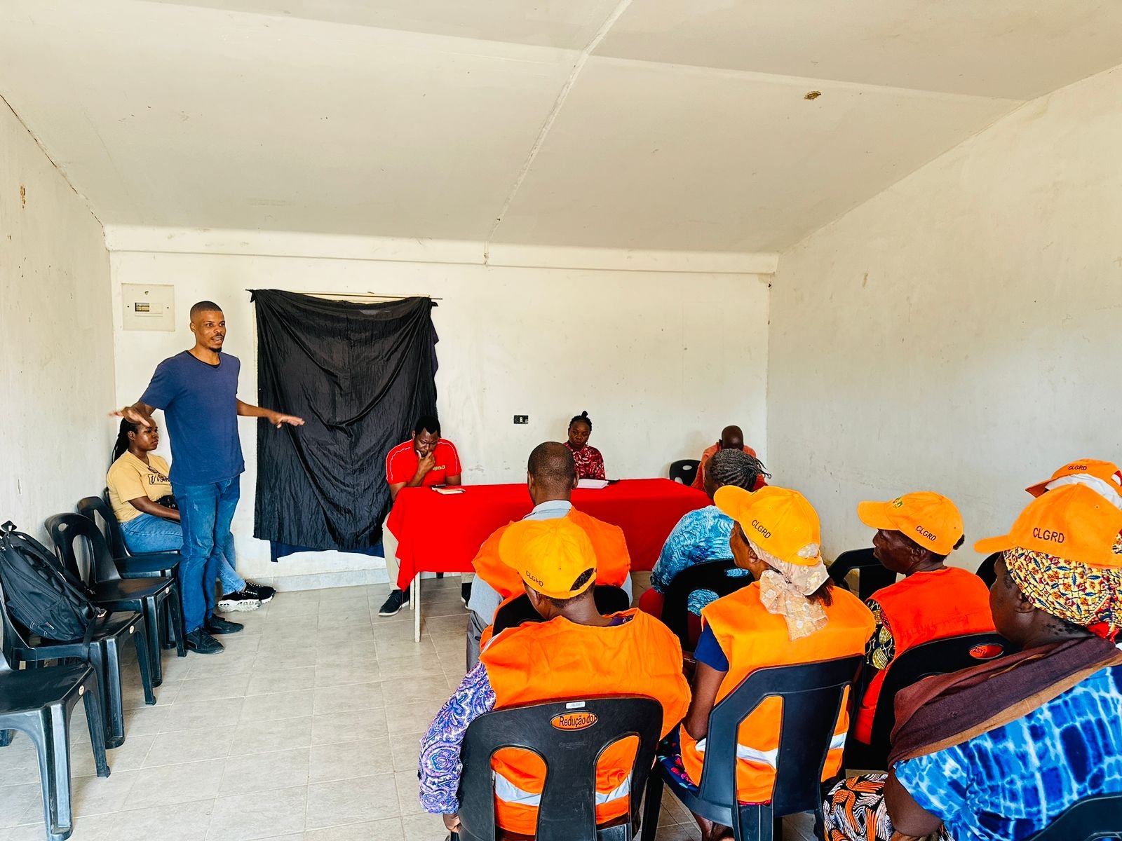
Community mapping training session
Tools and Data Quality
Field teams used ODK Collect for structured data capture and OSMAnd for offline navigation. Data was tagged to the standard OpenStreetMap schema, linking to established OSM wiki and TagInfo references. Field data was uploaded in real time and passed through multi-tiered validation reviewed by government field spot-checkers, HOT's technical team, and experienced OSM mappers before publishing.
Putting Data into Action
Once the field data was collected, HOT's technical team converted it into decision-support maps and localized atlases for INGD's operational use. These included:
- Anticipatory Action Hotspots highlighting priority zones where early action is needed
- Service and Catchment Gaps showing where communities lack access to nearby emergency and relief facilities
- Isolation Risk and Resilience Mapping identifying communities at risk of becoming difficult to reach during a disaster due to damaged roads, river crossings, or limited alternative routes alongside the nearby services and evacuation routes that can help them cope
All of the underlying data was also published to OpenStreetMap open to every partner, government agency, and member of the public working on disaster response in Mozambique.
During the January–February 2026 flood response, the Government of Mozambique, UNICEF, and other partners used this data. HOT joined activation discussions and used the new datasets to help review affected areas, access constraints, isolated communities, and response priorities.
Next Steps
The project's next priorities include building the capacity of more technicians at the provincial level. HOT, INGD, and FDC's community mapping approach is expected to expand gradually into other disaster-affected provinces, including Gaza and Sofala, with the eventual goal of covering all provinces and districts.
h3>Further Resources
Watch the documentary following this project's work:
Watch the project results sharing session:
Watch the related webinar on gender and data in humanitarian response:
Watch A local chief, Caroline Eluto, from Chókwè, on why disaster preparedness starts before the storm:
This project's work has also been featured externally:
Interested in this ork?
If you'd like to learn more, explore a partnership, or discuss scaling this approach elsewhere, reach out to us at esahub-info@hotosm.org


