Geospatial Data for Humanitarian Response in Sudan Conflict
Conflict & Displacement • Sudan
Amid Sudan’s crisis, a global effort led by HOT, with support of the H2H Network and the Sudanese diaspora, transformed fragmented maps into a better response. By connecting local knowledge with tech, we are creating data and maps that can support humanitarian organizations deliver aid where it's needed most.
Table of Contents
Background
The humanitarian crisis in Sudan reached a scale that required innovative, collaborative, and data-driven solutions. As the conflict continued into 2025, millions of Sudanese faced limited access to food, healthcare, and essential services. The conflict also created the largest internal displacement crises globally, with millions of internally displaced persons (IDPs) and refugees spread across an increasingly fragmented landscape.
In such a context, reliable geospatial data became not just useful but life-saving. To bridge critical information gaps, the Humanitarian OpenStreetMap Team (HOT), supported by the H2H Network, initiated a project to enhance Sudan’s mapped infrastructure and geographies. By addressing deficiencies in road networks, populated places, and cultural information, this initiative provided aid organizations with the tools they needed to reach vulnerable populations and understand the impact on the ground. Crucially, the project also incorporated the expertise of Sudanese diaspora communities, whose local knowledge offered insights into the geography and cultural nuances of the region.
Understanding the Geospatial Gaps in Sudan
Sudan’s vast and diverse geography, combined with the ongoing conflict, exacerbated challenges in acquiring accurate and actionable data.
- At least 63% of buildings in OSM were estimated to be missing in 2024 according to Kontur. The lack of reliable data affected the efficiency of humanitarian efforts such as aid delivery and damage estimation.
- Roads in remote areas were poorly mapped, and existing road datasets for urban centers often lacked critical details like surface type or accessibility.
- Rural regions faced a near-complete absence of reliable geospatial data, hampering the ability of humanitarian organizations to plan logistics or assess infrastructure damage.
Beyond the physical terrain, another critical dimension was often overlooked: cultural and administrative data. Place names, boundaries, and locally significant landmarks—essential for contextualized humanitarian response—were frequently missing or mislabeled in existing datasets. This disconnect was not merely technical; it risked creating a mismatch between the aid provided and the communities' actual needs for recovery.
OSM Building Completness Estimates Map
The Role of the Sudanese Diaspora
The Sudanese diaspora played a crucial role. Members of these communities possessed intimate knowledge of cultural landmarks, traditional names, and the intricate socio-political dynamics of their regions of origin. HOT’s project aimed to amplify these voices, integrating their knowledge into the mapping process to create datasets that were both accurate and culturally sensitive. This effort also contributed to fostering an OSM community for Sudan by connecting Sudanese contributors with HOT staff and global OSM expert volunteers.
Participatory Mapping to Leverage Local Knowledge
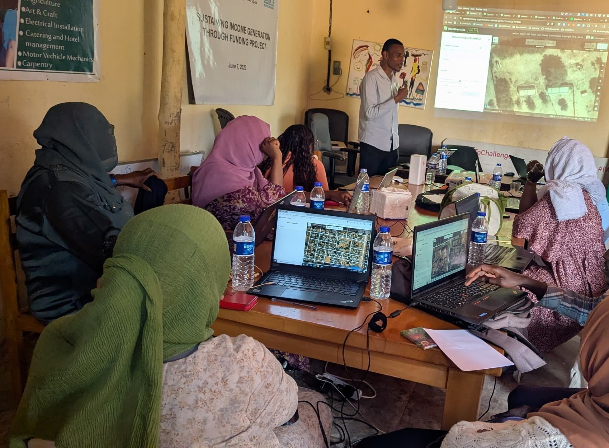
Mapping Sudan remotely required engagement with Sudanese diaspora communities and local networks. By inviting these groups to contribute to the mapping effort, HOT ensured that the data reflected on-the-ground realities, from the names of areas to the locations of critical infrastructure.
Using HOT’s Tasking Manager platform, volunteers were assigned specific areas to map, allowing them to focus on regions where they had direct or inherited knowledge. For example, a member of the diaspora might map roads and villages in a region they once lived in, providing accurate names and connections that no satellite imagery or automated tool could deduce. This participatory approach transformed the diaspora into active contributors, ensuring that cultural and administrative details—often overlooked—were preserved.
Innovative Tools for Data Consolidation
HOT leveraged a suite of advanced tools to integrate and validate data from multiple sources:
- MapRoulette: Helped volunteers refine and verify road data by addressing small but significant inconsistencies in road names and providing translations.
- uMap: Was used for coordinating and creating a common operational dataset for boundaries that could be utilized across multiple organizations.
- HOT Export Tool: Enabled organizations to download custom datasets tailored to specific humanitarian needs.
- iD Editor and JOSM: Allowed volunteers to edit and enrich OpenStreetMap (OSM) data, adding attributes such as road names, surface types, and accessibility details.
These tools were integral to addressing gaps in both physical infrastructure and cultural data. For instance, OSM data already provided strong rural road coverage, identifying over 300,000 km of roads not found in other datasets. By adding diaspora-provided names and attributes to these roads, the project created a far more robust dataset for aid organizations.
Building Trust Through Ethical Mapping
Recognizing the sensitivity of mapping in conflict zones, HOT implemented a robust ethical framework to safeguard contributors and data users. This included:
- Anonymizing submissions
- Conducting risk assessments
- Restricting access to potentially sensitive datasets
By adhering to these principles, HOT ensured that the mapping process supported humanitarian goals without compromising the safety of contributors or the communities they aimed to help. For more information check HOT's data principles.
Data Access and Use
Country level Data
OSM data could be downloaded from HDX. Users could browse through this filtered HDX list or choose from the categories below to access specific datasets:
- Roads
- Buildings
- Waterways
- Railways
- Health Facilities
- Financial Services
- Populated Places
- Education Facilities
- Sea Ports
- Airports
- Points of Interest
Download Based on Areas of Interest

Downloads were also available based on areas where HOT and partners improved the data through Tasking Manager projects:
West Darfur Border Area
North Darfur Southern Area
Khartoum and Surroundings
Gedaref and Surroundings
White Nile
You could also create your own export using the HOT Export Tool, an open service that created customized extracts of up-to-date OSM data in various file formats.
Conclusion
Accurate and inclusive maps were a cornerstone of effective humanitarian response. In Sudan, where infrastructure was devastated and access was constrained, reliable data ensured that aid reached those who needed it most.
By bridging gaps in physical and cultural data, HOT’s work not only enabled immediate relief but also helped set the stage for long-term recovery and resilience. The active involvement of the Sudanese diaspora was critical to this effort, demonstrating that local knowledge and global tools could converge to create a powerful force for change.
Get Involved
This project required sustained commitment from volunteers, partners, and the global community. Together, contributors helped ensure that mapping in Sudan became more suitable for recovery, relief, and planning.
If you wanted to contribute, you could refer to the wiki, where different projects, initiatives, and activities were listed.
Are you with an organization working in Sudan or other conflict affected areas or interested in supporting other ways? Contact us at info@hotosm.org to partner, volunteer, or donate to ongoing efforts in conflict-affected areas worldwide.
Cover photo: Wikipedia - NASA, Satellite picture of Khartoum, Omdurman and Bahri - Licensed under CC BY-SA 4.0
Sponsored by:
![]()
