Nakuru City Leads Kenya in Data-Driven Urban Planning Through Geospatial Mapping Partnership
Posted by Pauline Omagwa, and Lizbenson • Jan. 5, 2026

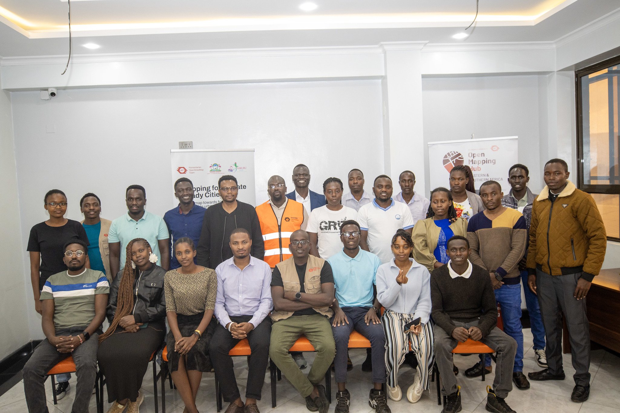
HOT Regional Director David Lemayian with Deputy Governor H.E. David Kones and Nakuru County officials at the MoU signing ceremony. | Photo: Nakuru County
A City Growing Faster Than Its Maps
Conferred city status in 2021, Nakuru is Kenya's fourth-largest city and among the fastest-growing urban centers. This rapid expansion has brought immense opportunities, but also complex challenges, including traffic congestion, pressure on infrastructure, and recurrent flooding in neighbourhoods such as Kiptembwa, Kiamunyi, Rhonda, and Flamingo. Under the leadership of Governor Susan Kihika, the Nakuru County Government has deliberately embraced geospatial data and technology as a foundation for sustainable urban development.
"One of the biggest challenges we have in this city is drainage. Members of the assembly, especially those from the town, keep calling our offices to clean up drainages. We have fault lines and fissures opening when we have excessive rainfall. As you go towards the lake, the gradient reduces, so water pools." – Eng. Michael Kamau, CECM for Infrastructure, Nakuru County
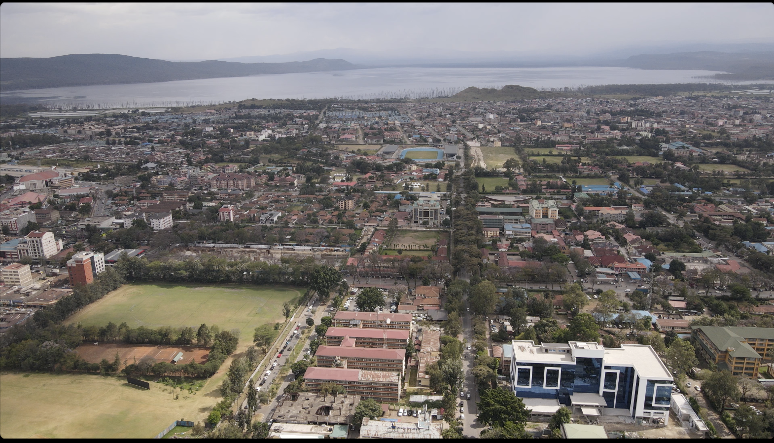
Aerial view of Nakuru City, Kenya's fourth-largest urban centre and one of its fastest-growing expanding rapidly since being conferred city status in 2021. | Photo: Nakuru County Government
The collaboration between Nakuru County Government and HOT began in 2022 as part of Governor Susan Kihika's commitment to evidence-based planning, transparency, and inclusive growth — key pillars of her development manifesto. The first phase of the partnership, dubbed Satellite Imagery for Social Good, focused on building a comprehensive digital inventory of the city.
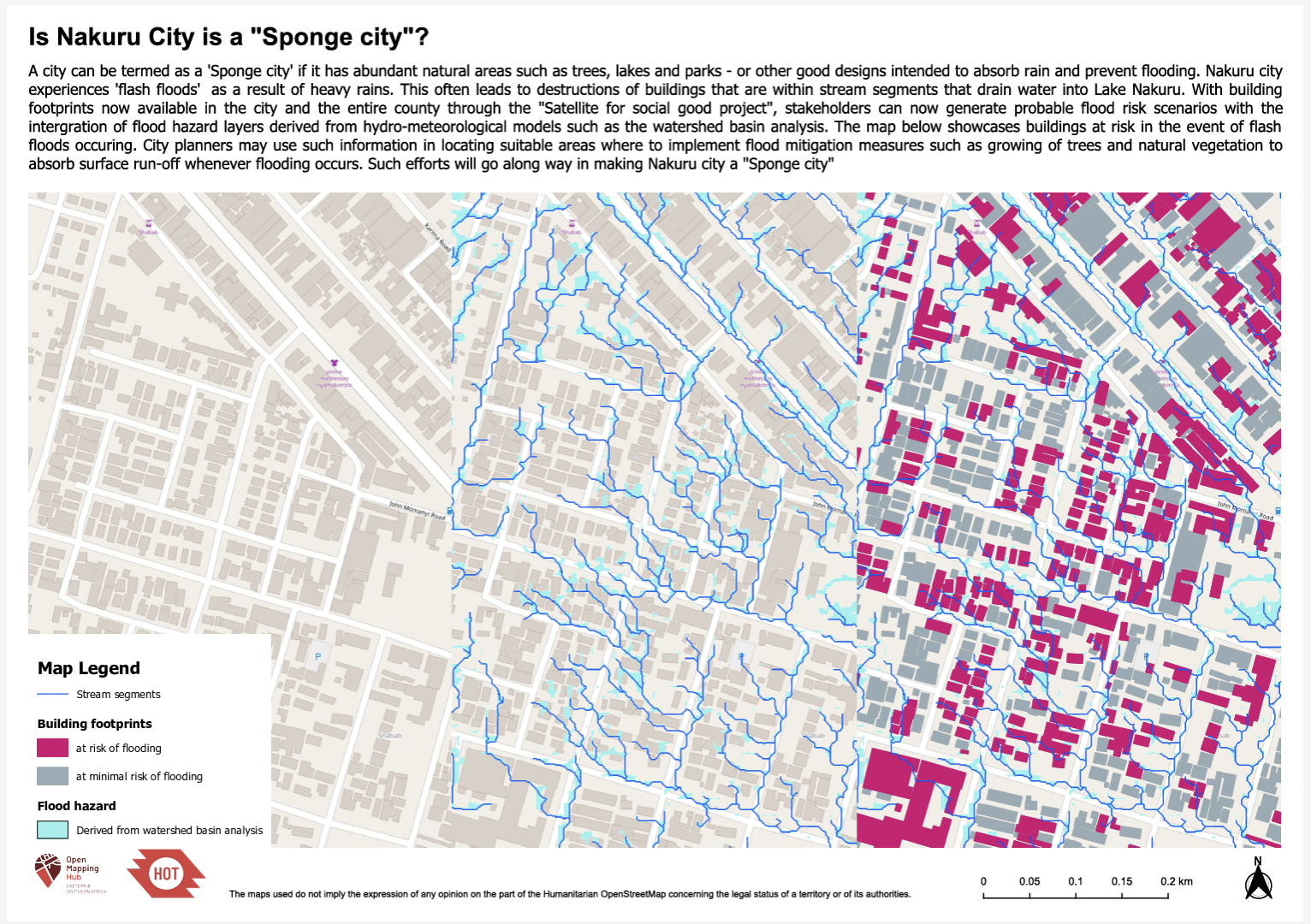
For the first time, over 1.4 million building locations were verified by community mappers, creating the most comprehensive spatial dataset the city has ever had. This data enabled Nakuru County to accurately model flood-prone areas using topography and water-flow analysis. Urban planners could now clearly identify high-risk zones and design targeted interventions.
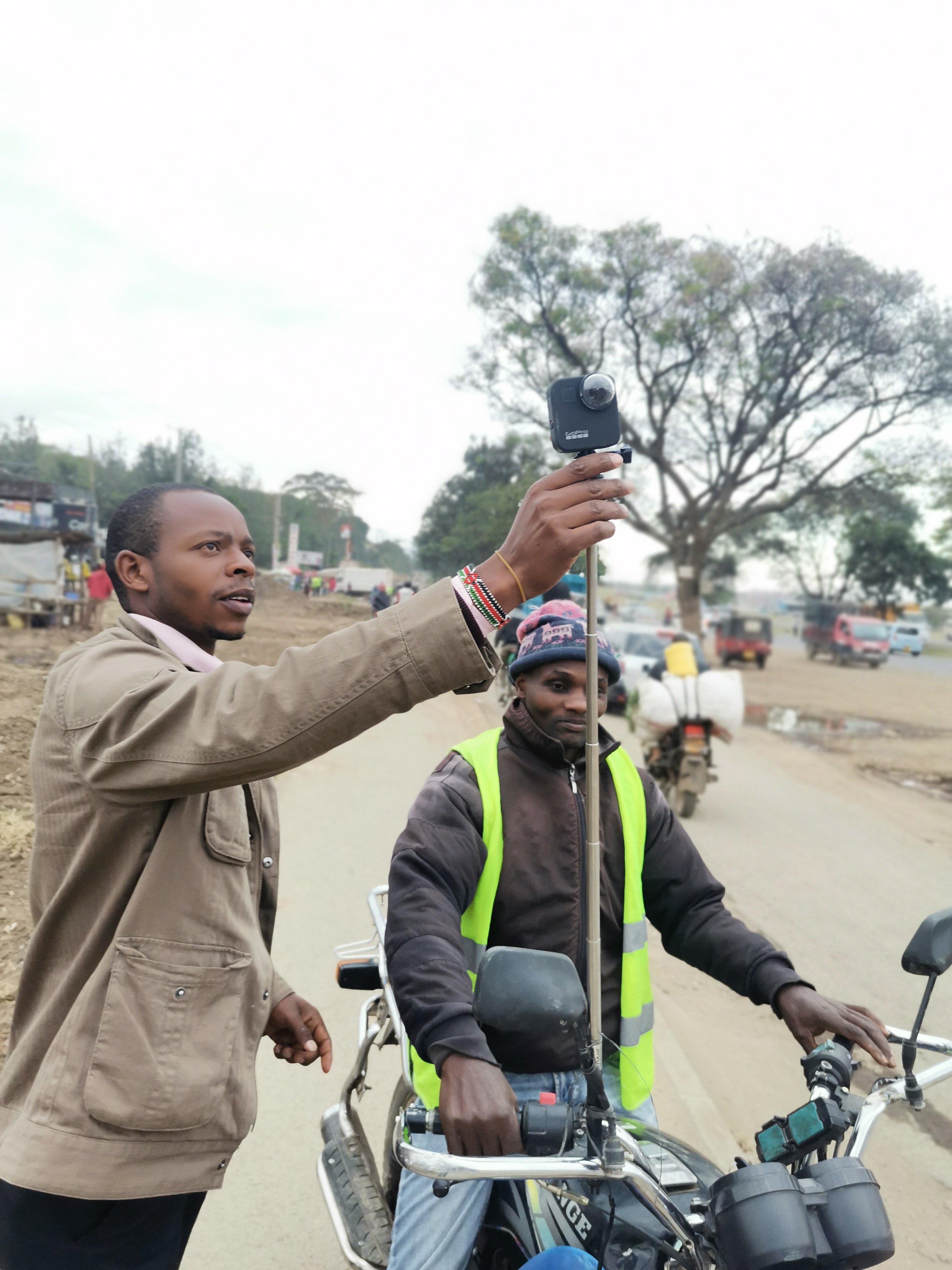
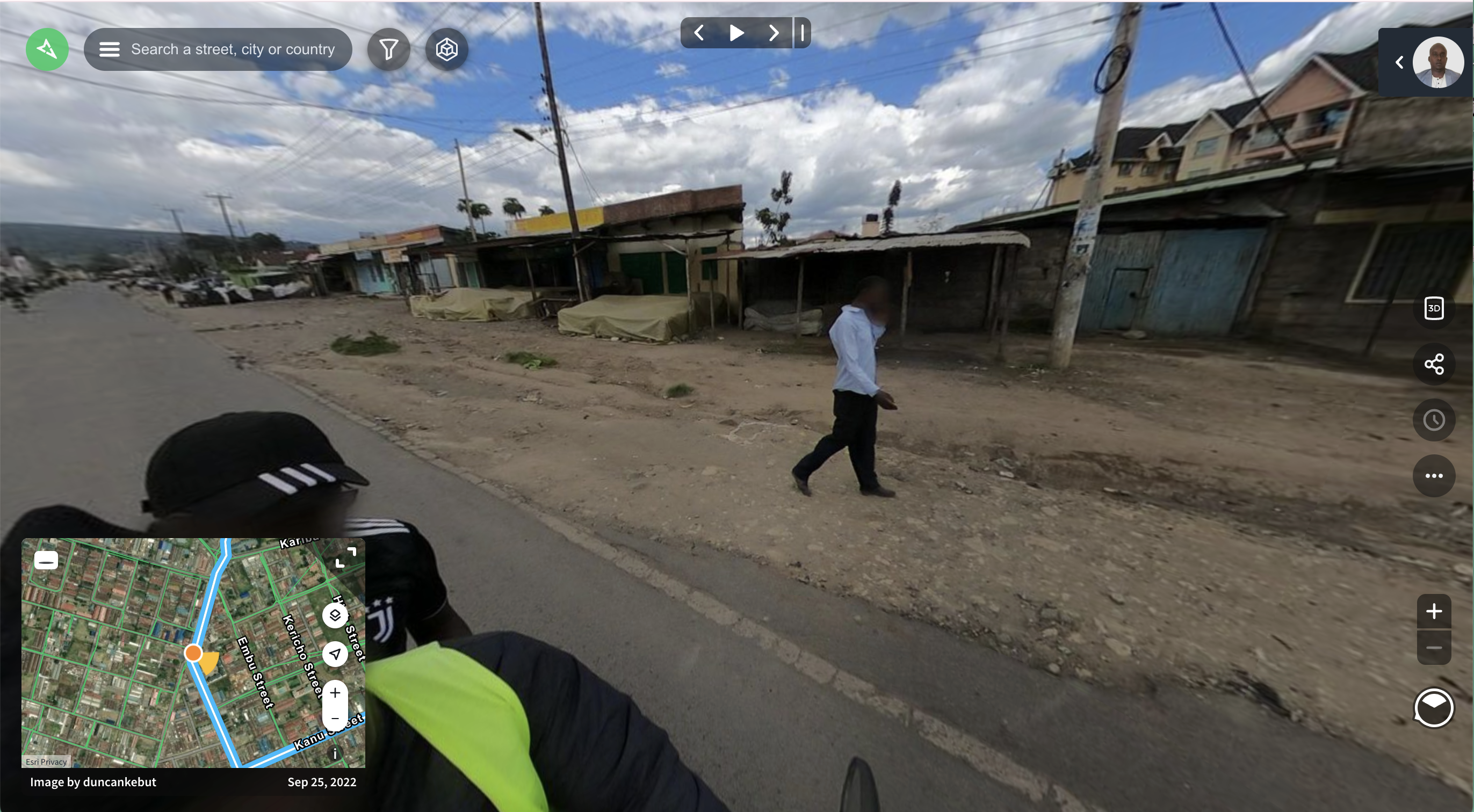
From community mapping to street-level imagery: Local residents participating in field data collection, a boda boda mounted with a GoPro capturing street-level imagery, and the resulting coverage now visible on Mapillary. | Photo: HOT / Nakuru County Government
Explore the full street-level imagery of Nakuru on Mapillary.
As a result, the county began adopting "sponge city" principles nature-based solutions that allow neighborhoods to absorb, retain, and filter stormwater rather than channeling it into overwhelmed drainage systems. This approach directly benefits residents by reducing flood damage, improving road safety, and protecting homes and livelihoods.
"GIS is now a fundamental tool for data-driven city management, not a technical luxury." – Deputy Governor H.E. David Kones
Seeing the City at Street Level
Building on the success of the initial phase, Nakuru expanded the partnership into comprehensive street-level mapping focused on urban mobility and transport infrastructure. This was part of HOT's Mapping for Climate Ready Cities programme, which supports cities across East and Southern Africa to build climate resilience through open mapping. HOT deployed 360-degree cameras mounted on vehicles to capture detailed street-level imagery across the city. These images documented roads, markets, businesses, pedestrian pathways, public transport stops, and social amenities.
Advanced AI tools processed over 100,000 street-level images, extracting critical infrastructure data. Nakuru County staff and trained local mappers then verified and refined the information, ensuring accuracy and local relevance.
For residents, this means better-planned roads, safer pedestrian routes, improved public transport coverage, and more equitable access to services. For city officials, it provides a clear, data-driven picture of how people move, where congestion occurs, and where infrastructure investment will have the greatest impact.
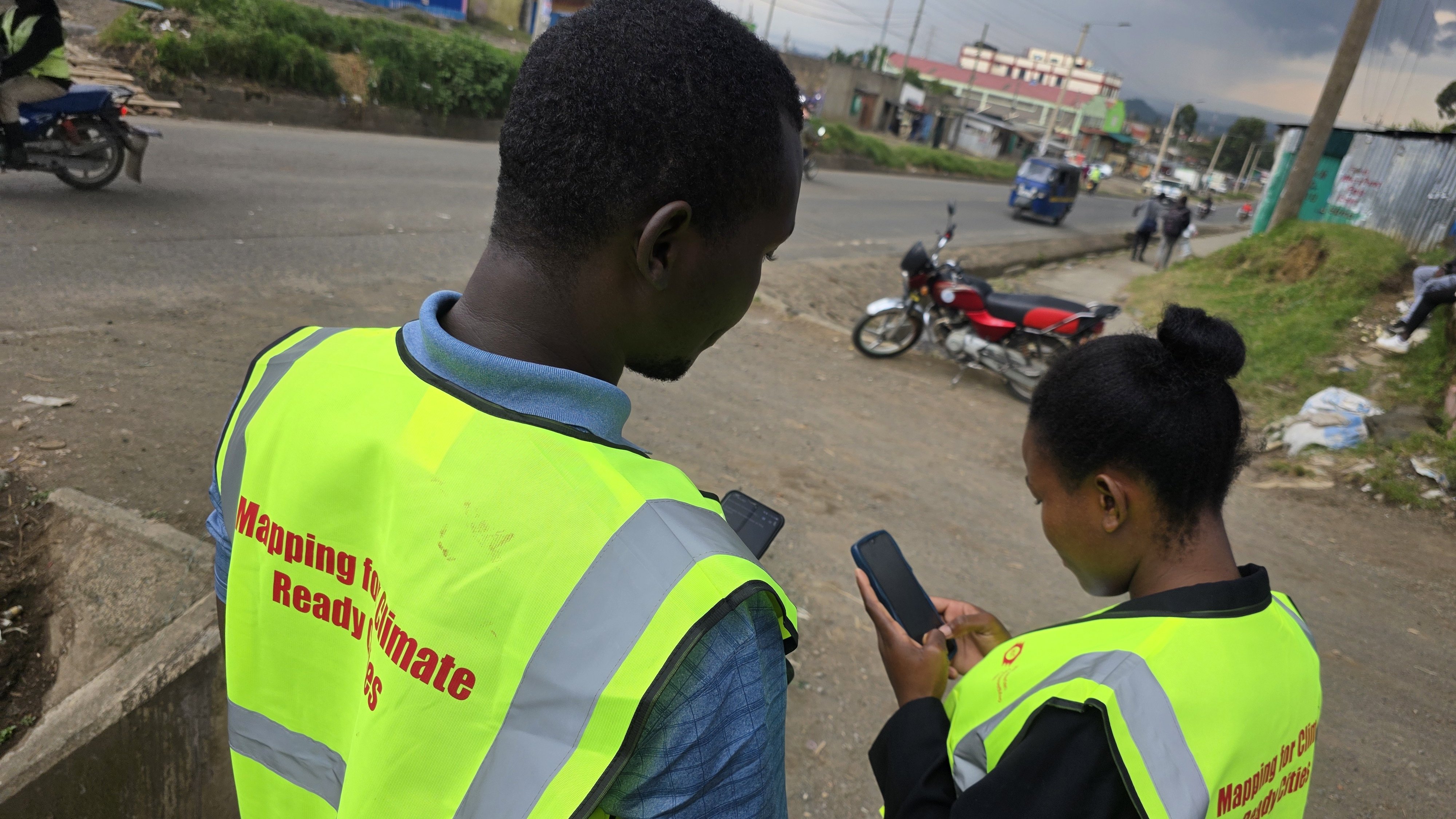
Community mappers out in the field during the second phase of the Nakuru mapping partnership, focused on street-level data collection for urban mobility and transport infrastructure. | Photo: HOT / Nakuru County Government
"We'll be able to see this information at a glance and see which areas are more prone to blockages and flooding. It will help us in decision-making." – Eng. Michael Kamau, CECM for Infrastructure, Nakuru County
The partnership aligns seamlessly with Governor Susan Kihika's manifesto, which prioritizes resilient infrastructure, efficient transport systems, climate-smart development, youth empowerment, and transparent governance. Through this initiative, at least 20 local residents have been trained in geospatial mapping, equipping Nakuru youth with marketable digital skills while directly contributing to the city's development.
"Some years ago, parts of Nakuru County were empty. I wish we had mapped what happened in between, so everything now could be moving smoothly, knowing where to go." – Deputy Governor H.E. David Kones
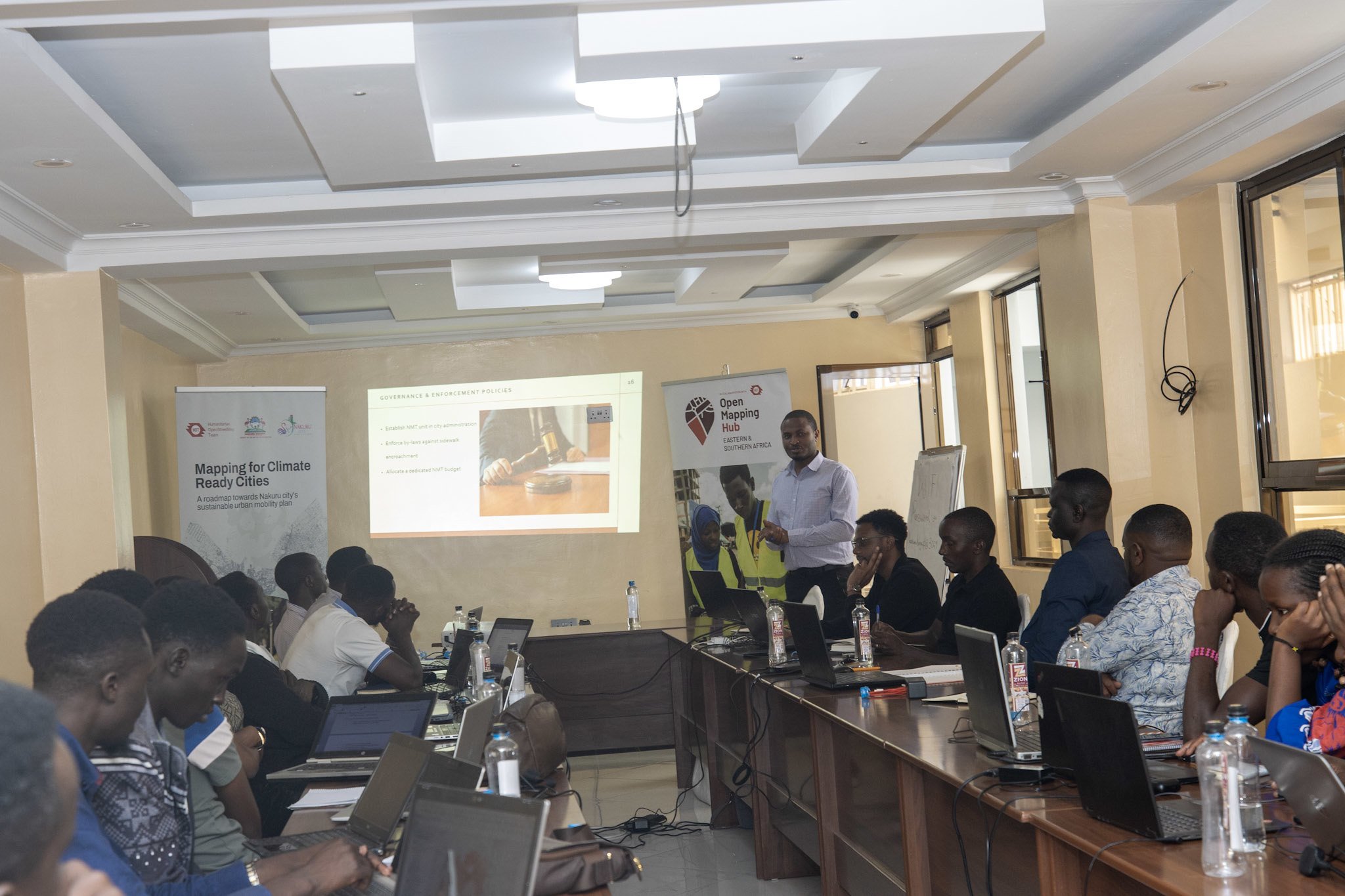

Building local skills: Youth mappers during training and receiving their certificates from Nakuru City Manager Gitau Thabanja — equipping the next generation with geospatial skills while directly contributing to the city's development. | Photo: HOT / Nakuru County Government
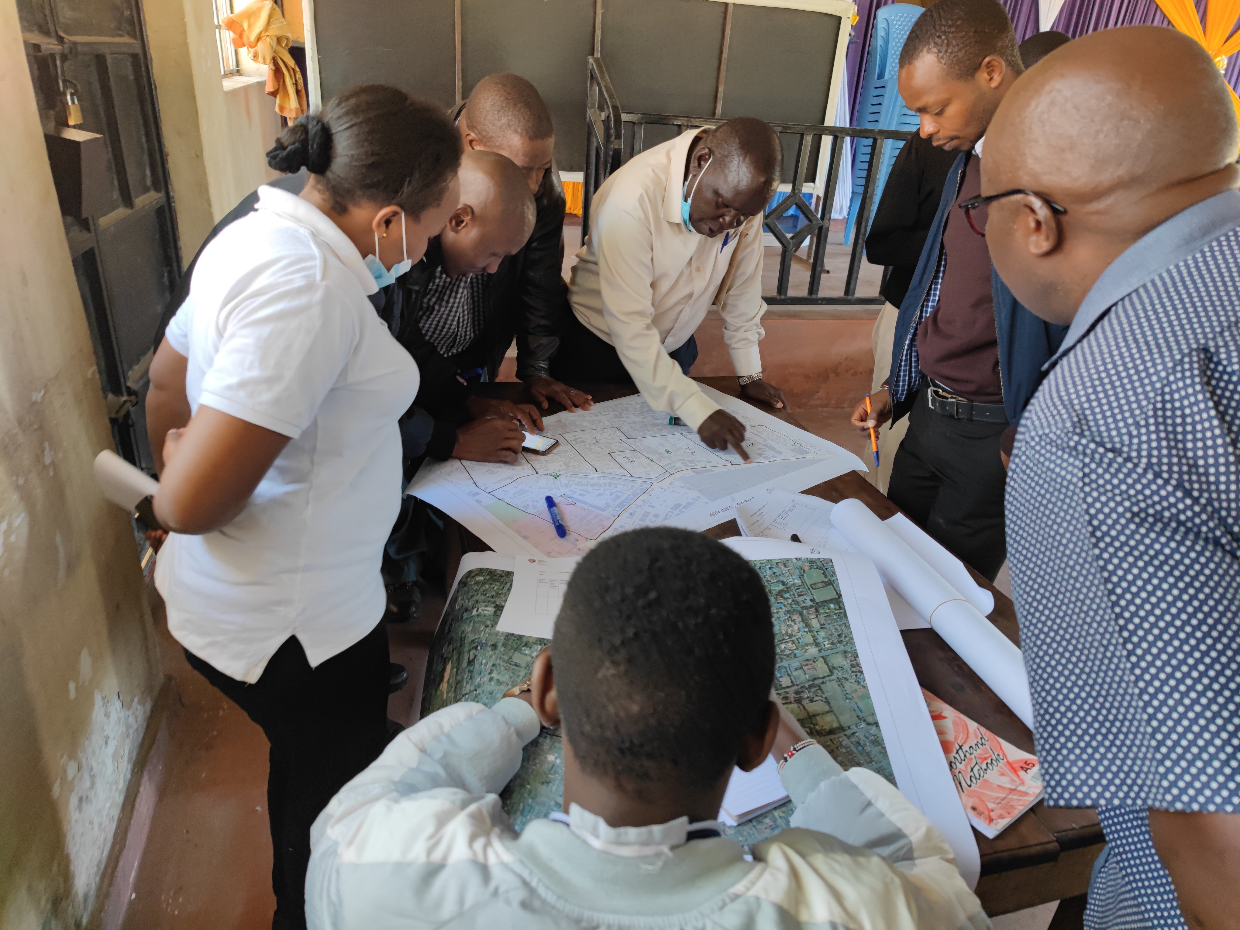
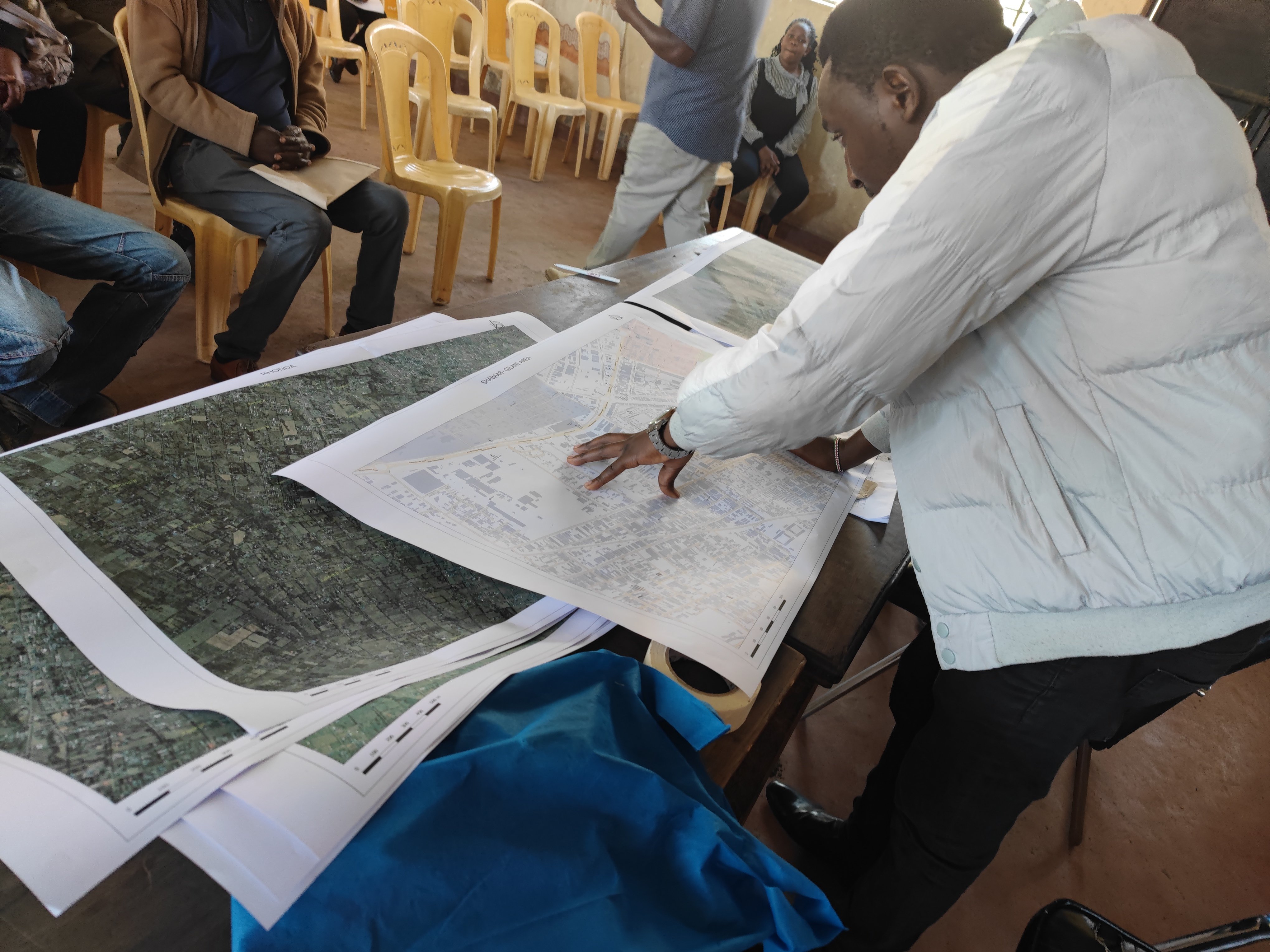
Formalising the Partnership: The MoU Signing
The MoU signing was attended by CECM for Infrastructure Michael Kamau, County Attorney Caleb Nyamwange, City Manager Gitau Thabanja, HOT Regional Director David Lemayian, and MCAs led by County Assembly Deputy Speaker Anthony Kamau — formalizing what has already proven to be a high-impact collaboration.
All mapping data generated through the partnership is published on OpenStreetMap, a global open-data platform accessible to everyone. Nakuru County retains full ownership of the data with no licensing fees, ensuring long-term sustainability. Citizens, researchers, investors, and planners can view the same maps used by decision-makers, reinforcing transparency and public trust.
Building Local Capacity: Youth as Urban Data Champions
eputy Governor H.E. David Kones, who witnessed the signing of the MoU, emphasized that geospatial data is no longer a technical luxury but a fundamental tool for modern city management. He noted that the data generated through the HOT partnership will guide priority interventions, including improving public transport accessibility, upgrading road networks, and designing effective flood mitigation measures.
As Nakuru continues to grow, geospatial data will remain central to protecting residents, guiding infrastructure investment, and ensuring inclusive, sustainable development. By aligning global expertise with local leadership and community participation, Nakuru City is not only delivering on Governor Susan Kihika's promises but also setting a benchmark for data-driven urban development across Kenya and East Africa.
"Think not about today, but twenty years from now." – Governor Susan Kihika, via Deputy Governor H.E. David Kones
Get Involved
If you are interested in open mapping partnerships for urban development, reach out to the HOT Open Mapping Hub – Eastern & Southern Africa at esahub-info@hotosm.org or explore the Nakuru data on OpenStreetMap.
This article was written by Pauline Omagwa (HOT Open Mapping Hub – Eastern & Southern Africa) and Lizbenson (Nakuru County Government), with insight from Duncan Kebut, HOT's Senior Project Associate and project lead, and Geoffrey Kibet, Nakuru City's Urban Planner. Cover photo credit: Nakuru County Government.
This article was originally published on the Nakuru County Government website.
Share
