OpenStreetMap in Schools of the West Nile and Western Uganda regions

The Ugandan government has demonstrated a strong commitment to promoting information and communication technology (ICT) education in schools. This effort has led to an increase in computer labs and learning opportunities for students to acquire computer skills alongside other subjects.

The OpenStreetMap in Schools project aims to introduce OpenStreetMap and open mapping techniques in schools, thereby enhancing the learning of geography and increasing the uptake of science, technology, engineering, and mathematics (STEM) education. The initiative offers ICT mapping training sessions and improves access to computers to bridge the digital divide in education. The project involves visiting schools, engaging with educators on ICT adoption, and building their capacity in ICT.
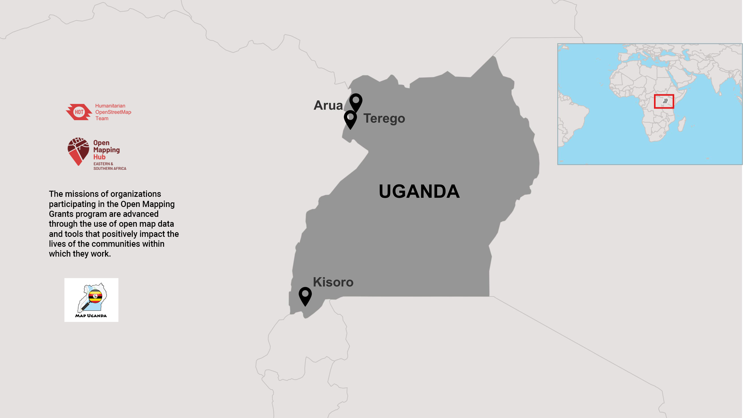
Thus far, the project has visited 23 schools and 2 universities in the West Nile and Western Uganda region, as well as 15 schools in Arua, Terego, and Maracha districts in the West Nile region. The project has benefitted 2,257 students (979 female and 1278 male) and 105 teachers, all of whom have been successfully trained and equipped with mapping and ICT skills. The “OpenStreetMap in Schools” project is being implemented in phases, with the first three phases completed.
The teachers and students have been trained on the OSM platform, including OpenStreetMap topics, geospatial mapping, and basic ICT knowledge. The project has also conducted introductory meetings with beneficiary schools in the West Nile and Western regions, with some schools signing up for the project, while others are yet to join. Lesson planning and scheduling have been carefully developed to accommodate the schools’ timetables.
Data Use
The data generated from mapping buildings within school locations and surrounding communities will be utilized by the Ministry of Education and other NGOs working towards the growth and sustainability of the educational sector. School officials will also use it to generate reports, especially on Monitoring, Evaluation, Research, and Learning (MERL) activities, and maintain school registers.

The project is a teacher-led initiative that has empowered teachers to open 105 OSM accounts and become proficient in mapping using the ID editor, enabling them to map 1,212 buildings. School officials have embraced digital soft wares like ODK and Kobo Toolbox to monitor student attendance and reporting. The project has also facilitated the acquisition of new skills by students that can be applied beyond the confines of the classroom.