Modelling Exposure Through Earth Observation Routines: METEOR
![]() Project
Coverage Area
Project
Coverage Area
Increasing the resilience of countries to natural hazards through the integration of open exposure data derived through satellite imagery and open protocols.
The escalating impacts of natural hazards are caused mostly by increasing exposure of populations and assets. It is estimated that the world will see the construction of 1 billion new dwellings by 2050 and this growth may lead to rapid increase in risk.
.: UK Space Agency :.
HOT is working together with the British Geological Survey, ImageCat, and the Global Earthquake Model on a UK Space Agency International Partnership Programme, focused on developing innovative applications of earth observation (EO) technologies to improve understanding of exposure to help minimise these risks.
The project aims to build and strengthen local and global resilience through complete, up-to-date, accurate exposure data in order to better identify risk and enable more effective decision-making:
-
Deliver exposure data for...


Recent news from Modelling Exposure Through Earth Observation Routines: METEOR (View all news)
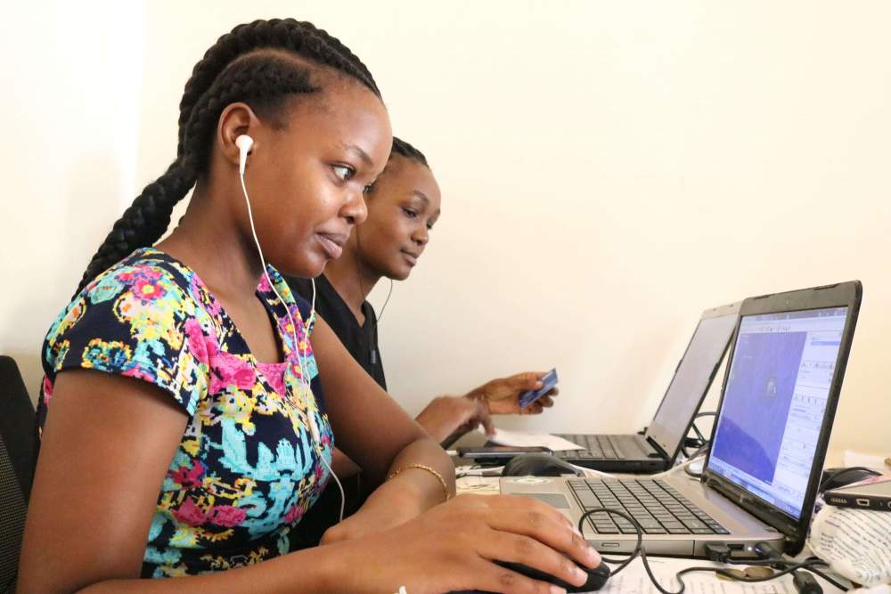
Exposure Data and Models Shared with Disaster Management Stakeholders in Tanzania
The METEOR project has been a three-year initiative supported by the UK Space Agency International Partnership Programme to generate disaster exposure data and models in two pilot countries — Tanzania and Nepal. The process has since been repeated in another 45 official development assistance countries.


An approach to field data collection in Kathmandu
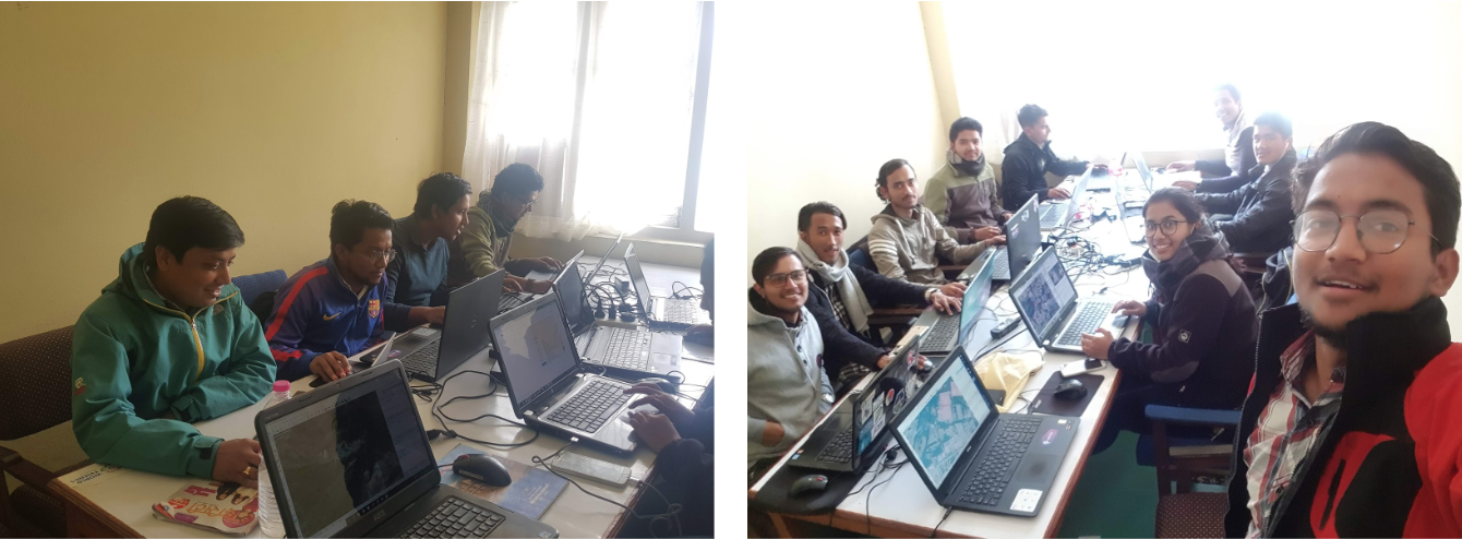
Guest blog by Gaurav Thapa from Kathmandu Living Labs. Covering the collection process carried out by the team for surveying exposure data in Kathmandu Valley, Nepal as part of the METEOR project.

Digitising Kathmandu from above
Guest blog by Gaurav Thapa from Kathmandu Living Labs. Covering the digitisation process carried out by the team for mapping building footprints in Kathmandu Valley, Nepal as part of the METEOR project.