Climate Resilience Planning with Digital Mapping
In the recent past, Zambia has experienced more extreme climate events such as droughts and floods which are particularly affecting vulnerable groups of people in Lusaka, Southern, Northern, North-Western, Western, and Luapula provinces.
Lusaka is the largest urbanized city in Zambia, with a currently projected population of three million people. However, according to the Zambia Statistics Agency, 75 percent of Lusaka’s population lives in informal settlements. As a result, communities within this locale often face challenges ranging from inadequate access to social amenities to climate-induced impacts such as flooding.
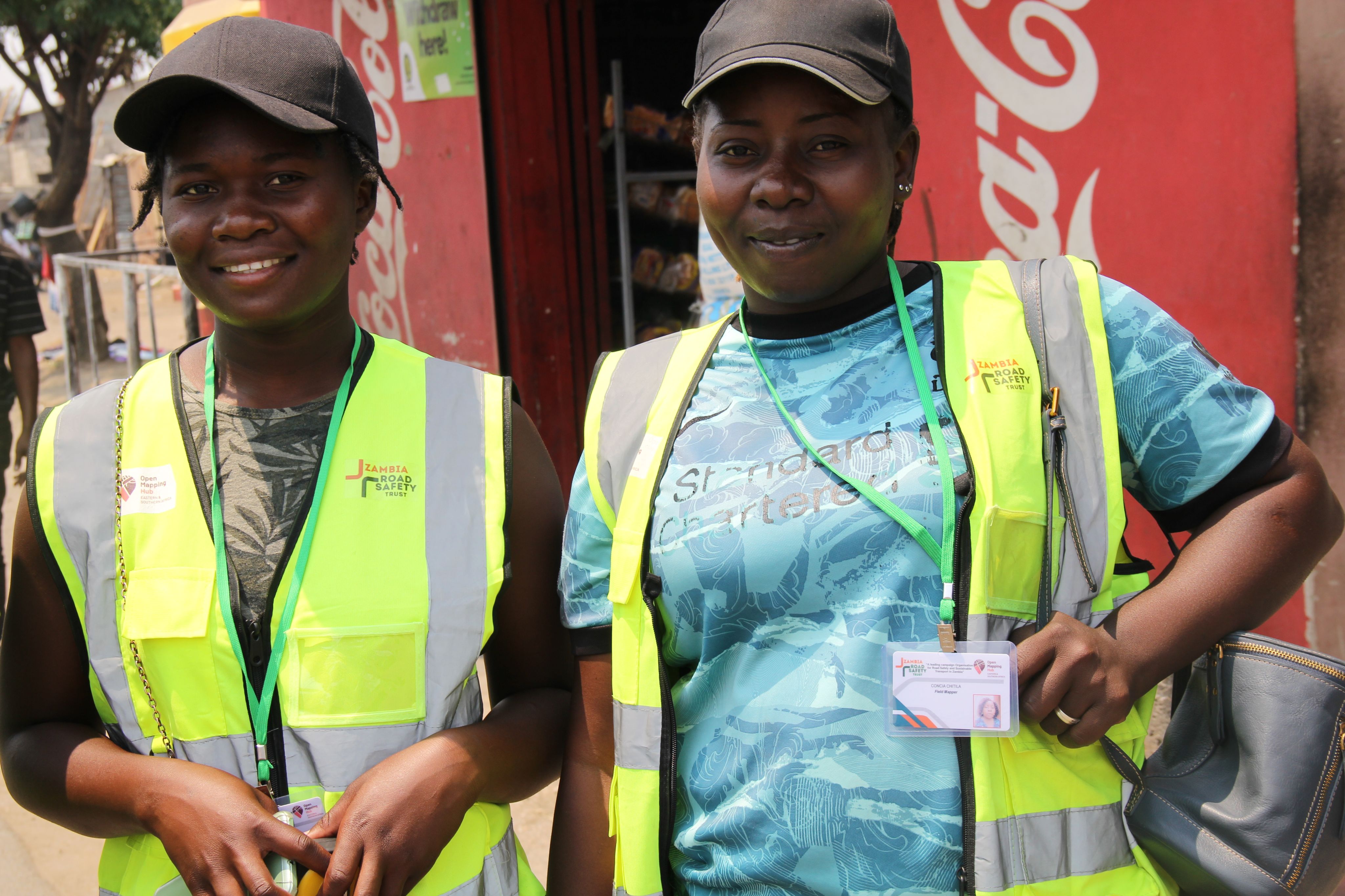
In view of the various challenges in these communities, the Zambia Road Safety Trust (ZRST) set out to implement the ‘Climate Resilience Planning with Digital Mapping’ project. The project seeks to provide current open-source map data to community groups, government institutions, and other decision-makers necessary to implement resilience measures for vulnerable communities.
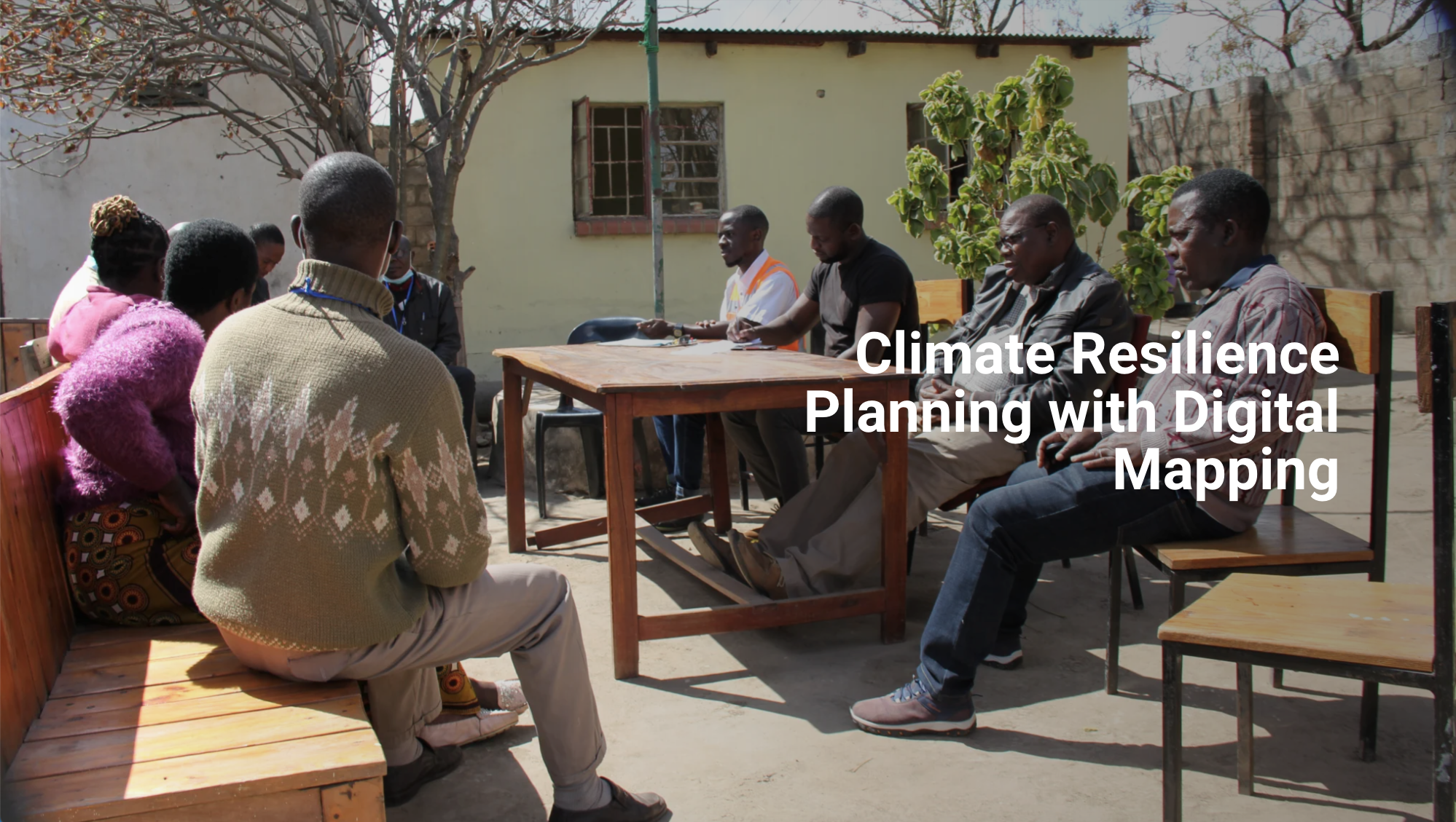
ZRST has successfully conducted inception meetings and consultations with the local residents in selected communities to build awareness of climate risks and request their participation and support of the project. Community participation is a key component of the project because one of the major problems faced in the town is poor sanitation due to the mushrooming of informal settlements.
The Trust has engaged affected communities to learn about the challenges they face and the real situation on the ground in a holistic way. The communities include those in Bauleni, Kanyama, Mazyopa, Mtendere, and Kalikiliki.

However, this has not been without challenges, some of which include unwillingness to complete questionnaires for the survey as well as refusal to participate in focus group discussions, and reluctance in engaging with private property owners.
The project nonetheless has introduced useful tools and methods that local authorities, planners, decision-makers, and the affected communities can use for collaboration in designing inclusive, integrated, and sustainable climate resilience plans.

Additionally, the resultant maps, OSM data, and tools will help ZRST in assessing the current road safety situation to identify the most critical safety aspects of road traffic accidents and injuries. The maps will also help in investigations concerning road networks, vehicles, and persons involved, and recommend actions to be taken by the government, individuals, and relevant stakeholders. Finally, this data will be helpful in the classification of high-risk road networks, accident scenes, and their locations, for responsive Road Safety countermeasures.
At the end of the project, map products will be produced for each community. The resultant maps and databases will be used by local residents to know and identify the key social amenities within their community, resolve land occupancy issues, and by local government authorities for planning given that the maps will highlight primary intervention areas. The data will also be used by the local municipal council in planning for the provision of social services such as waste management.
