



Remapping Freetown's Central Business District
Publié par Melodee Okigbo, Carter Draper, Tommy Godphery Davian Charles • 1 octobre 2026
Re-Map? Huh?
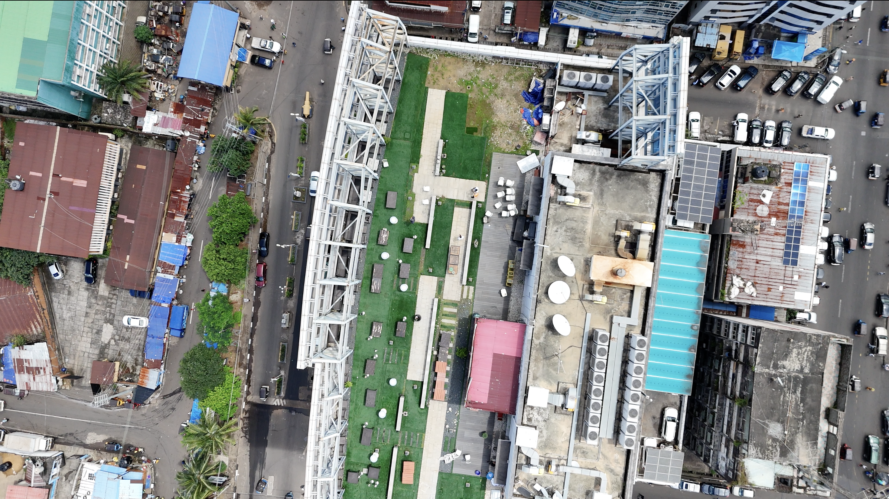
The push to remap Freetown’s Central Business District didn't start as an abstract data project. It started with a practical problem: the Freetown City Council (FCC) now had 0.05 meters of fresh, high-resolution drone imagery that they had never had before, and they intended to put it to work. Council departments (property valuation, engineering, environmental management, etc.) now had a clear picture of what was actually standing on the ground, but the city's tax base, disaster management, and service delivery data didn’t reflect that yet.
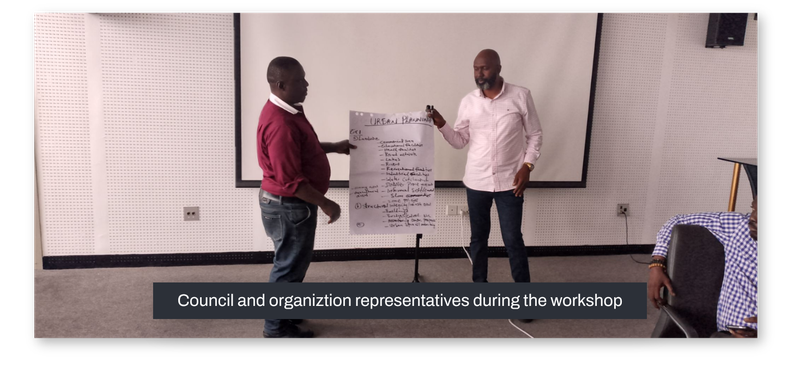
During a one-day workshop, department heads sat down with external partners, including the Guma Valley Water Company and UN-HABITAT, to define exactly what they needed mapped. By the end of that day, six thematic data models covering properties, commercial points of interest, transport routes, drainage networks, waste points, and water facilities had emerged, each one designed around a specific council use case, from "fair and transparent taxation" to "improve flood resilience". It wasn't a wish list. Every category on the map existed because a department head in that workshop had asked for it, either to improve ongoing projects or design new interventions.
Building a Team that Reflects the City
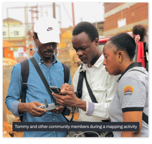
Rather than hiring an outside firm to survey the district, 25 field mappers, representatives from four organizations (the FCC, OSM Sierra Leone, CODOHSAPA, and FEDURP (comprising the residents of informal settlements in Freetown)), sat inside the mapping area. Since they already knew which alleyway had no drainage, or which kiosk was the real water source for a block, they would be able to collect detailed data better than anyone else.
“The re-mapping looked like a community in motion with participants from four participating institutions. These institutions sent representatives who were taught the entire open mapping methodology that was developed. It was essential for them to participate so they could replicate the skills they acquired within their respective organizations”.
Tommy Charles, Mapper.
The mapping unfolded in three phases. Phase 1 was a pilot, where the mappers got to train and learn how best to use the tools in a small section of the Central Business District. Phases 2 and 3 then expanded across the full area of interest, applying the lessons they learned during the pilot.
“I was able to use familiar tools in a new way. For instance, I used all the 3 data collection tools, ODK, QField, and WebFMTM, in the Field Mapping Tasking Manager. This was an opportunity for me to do a comparative analysis of the tools and in which cases they can be ideal.”
Tommy Charles, Mapper.
What the Map Revealed About the City
Once the data started coming in, it revealed the actual story of the people who live there. Shops take up a huge portion of the Central Business District commercial landscape, about 1,867 of them, which is more than double every other category combined, really showing its role as Freetown's economic core. This commercial layer is now feeding into route planning for waste collection, with points of interest and the road network being cross-analyzed to optimize where collection trucks go.
The drainage network, at 108 km, is actually longer than the road network it runs beside, a sign of a dense web of small channels that matters enormously for flood planning, since a chunk of roads have no drainage at all and risk surface erosion during heavy rain. This data, together with the building data, can be used for flood-risk and vulnerability modeling that could inform the National Disaster Management Agency and the Environmental Protection Agency.
Property data showed that most buildings in the Central Business District are masonry-built with concrete, roofed in zinc, which could be linked to high indoor heat. Ownership skews toward individuals and families rather than institutions, and a large share of buildings are considered "old" under the project's twenty-year threshold, all factors which are now being taken into consideration by the Ministry of Lands to support fairer, more transparent property taxation, while planners are using the same data to run spatial analyses on land use and commercial clusters for the broader district’s regeneration strategy.
Pharmacies outnumber every other type of health facility, most of them privately owned and operating over the counter, which is convenient, but could be an added risk if medication is misused without oversight; the council intends to use this layer to understand services offered, facility locations, and staff capacity, effectively measuring health-care access community by community.
Pharmacies outnumber every other type of health facility, most of them privately owned and operating over the counter, which is convenient, but could be an added risk if medication is misused without oversight; the council intends to use this layer to understand services offered, facility locations, and staff capacity, effectively measuring health-care access community by community.
Water kiosks, mostly managed by the council through community representatives, mostly stop operating by 18:00 GMT, leaving real gaps in access after dark. The Guma Valley Water Company is using this as a spatial baseline for planning maintenance schedules and improving coverage.
A Model, Not Just a Map
What the Freetown City Regeneration Project leaves behind isn't only a geodatabase. It's a tested method: define use cases with the departments who'll actually use the data, include local residents as the primary data collectors, phase the rollout so mistakes get caught early, and route the finished data straight back into the institutions that requested it, from tax platforms to water utilities.
From the outside looking in, a foundation for a sustainable, resilient data ecosystem in Sierra Leone that is responsive to its citizens' evolving needs has been forged. Whether that promise holds will depend on what happens next; if property data actually reshapes tax fairness, and whether the drainage data actually informs flood mitigation before the next rainy season. But the mapping itself already proved something: that a city's own residents, given the right tools and a clear use case, can build the geospatial foundation their government needs.
As the project's contributors put it to other cities weighing whether to try something similar: open community mapping "is both cost-effective and efficient," and it meets a city's geospatial needs "while capacitating members" at the same time . In Freetown's Central Business District, that capacity now lives in thousands of mapped buildings, over a hundred kilometers of drainage lines, and the twenty-five people who walked the streets to record them.
Share




