Open Call for organized GeoAI competitions - fAIr 2026
21 septembre 2026
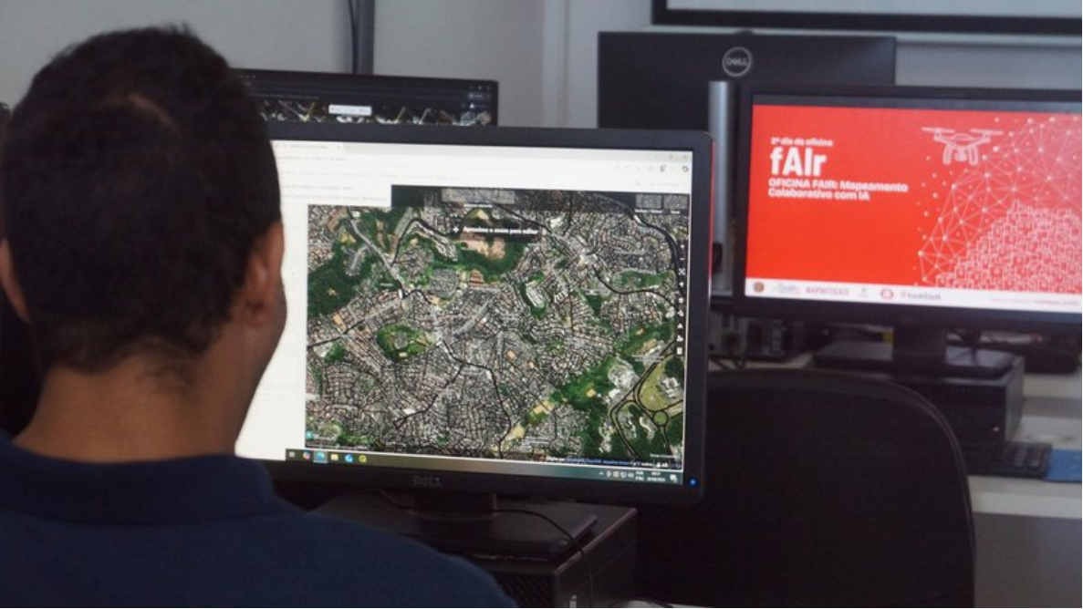
HOT is not setting out to solve this alone. Through our fAIr initiative, our role is that of a catalyst bringing together the people building GeoAI models with the open mapping communities ready to use, validate, and improve them. fAIr is the connective tissue: an open, community-driven platform where GeoAI models meet real-world mapping needs, without requiring users to be AI/ML engineers.
To make this possible, we need the GeoAI community to help build it with us.
Who Can Participate
This open call is targeted at organizations that design and run community-based GeoAI competitions (e.g., hackathons, challenge platforms, model-training competitions).
GeoAI Models We Are Looking For
We are seeking organizations that can run community competitions to deliver open-source GeoAI models across (but not limited to) the following categories: Seagrass, Highway segmentation and Roof Type Classification.
The GeoAI models are expected to have:
- Clear open source code for
- Pre-processing : Convert fAIr input imagery into the format your model expects (read chips, resize, normalize) so it can be consumed by training and inference.
- Inference : the model can be deployed and run on new imagery out of the box.
- Fine-tuning : the model architecture and training pipeline support further training on new geospatial data.
- Post Processing Convert your raw model output to decoded predictions (labels / masks / boxes) that can be consumed by fAIr
- Open source model weights
- All models are expected to perform prediction tasks on high resolution satellite + aerial imagery ( < 1 meter ground resolution )
- Can be described or following using STAC-MLM https://github.com/stac-extensions/mlm
- PR matching the scope as of the contributing documentation https://hotosm.github.io/fAIr-models/contributing/model/
What We Offer
Funding: Up to a maximum of USD 50,000 total (one org or split amongst multiple orgs), allocated across organizations running competitions that deliver qualifying GeoAI models.
Timeline
Final outputs must be delivered by 31st December 2026
Evaluation Criteria
- Technical feasibility and clarity of competition design
- Expected quality/openness of resulting models
- Cost-effectiveness relative to proposed budget
- Organizer's track record with community engagement or ML competitions
- Potential reach in LMIC/under-mapped contexts
Submission Requirements
Interested organizations should submit:
- A brief proposal outlining the competition design, target model category/categories, and outreach/participant strategy
- A proposed budget and breakdown
- A delivery timeline aligned with the 20 December 2026 deadline
- Evidence of prior experience running technical or community competitions (optional but encouraged)
How to Participate
Submit your proposal and suggested budget to fair@hotosm.org
Let's collaborate. The HOT fAIr Team
Share