Disaster Risk Reduction
Strengthening communities, governments, and partners with open geospatial data and tools to improve disaster mitigation, preparedness, and recovery for informed local decision-making and long-term resilience.
About the Program
While hazards are inevitable and can occur from natural and man-made sources, disasters are not. Disaster Risk Reduction (DRR) seeks to increase people’s, the environment's, and systems’ ability to prevent, manage, and reduce the impacts of hazards. In so doing, lives are saved, livelihoods are protected, the environment is safeguarded, and investments are kept secure. DRR strategies are far-reaching and can be embedded in a wide range of sectors from business continuity planning to urban planning to humanitarian action.
As a humanitarian organization focused on providing open-source data and tools for humanitarian action and community development, HOT is well-positioned to support its communities and other partners with DRR implementation.
HOT holds itself and its partners to highly responsible data standards guided by HOT’s data principles. All work done through this program complies with HOT’s data protection framework.
Stats
7
DRR projects in 2026
10
Countries worked in 2026
300+
People trained in 2026
Goals

Data for risk-informed decision-making
Accessible geospatial data enables disaster risk reduction

Tools that reach the people who need them
Tailored open-source tools drive local, sustainable disaster risk reduction

Localizing Resilience: Community-Led Data Stewardship
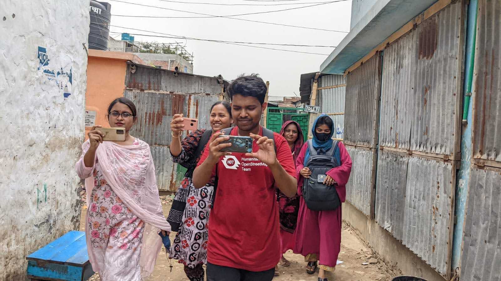
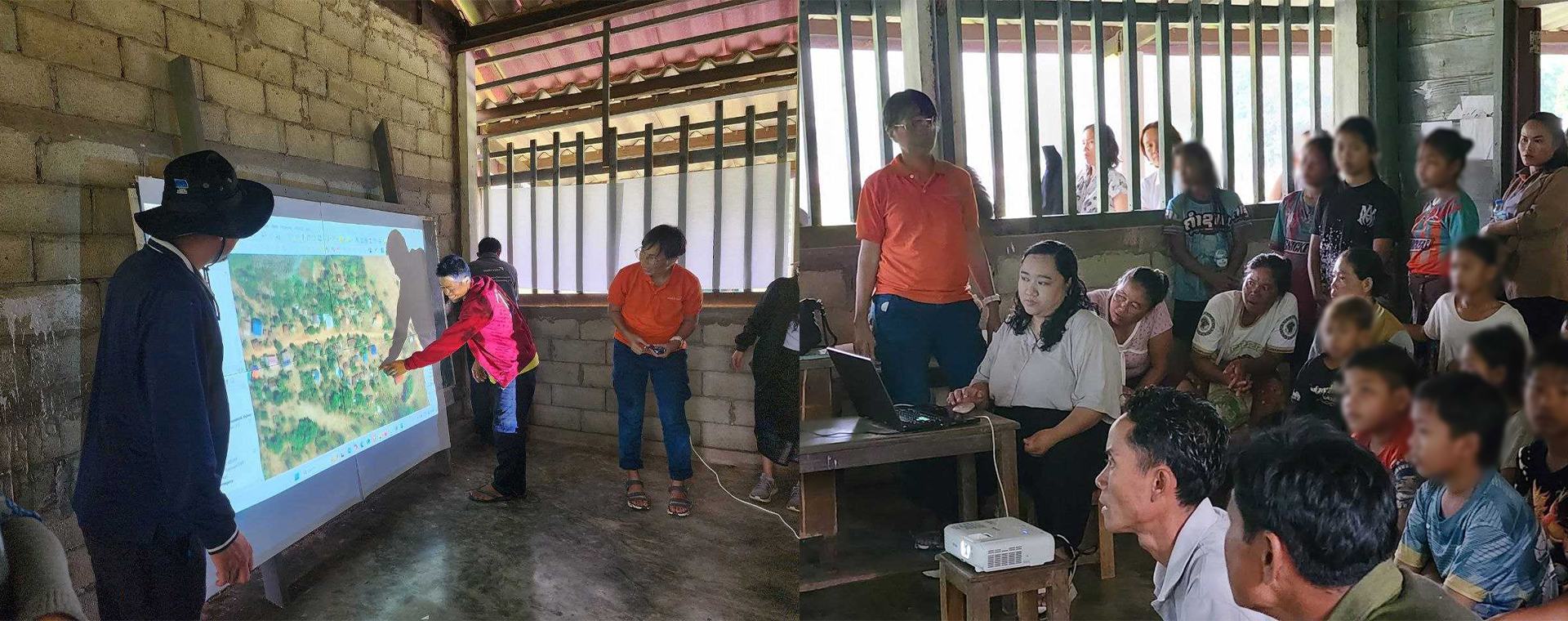
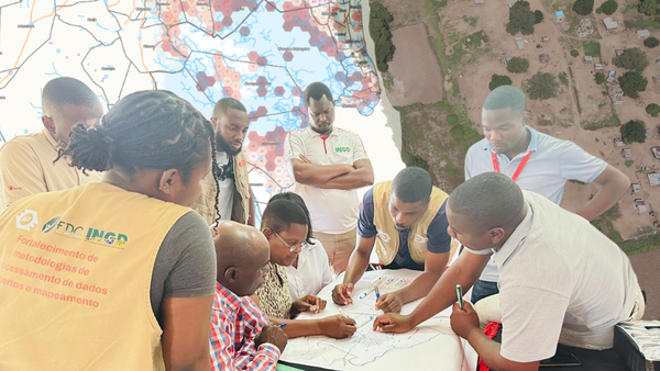
Local communities are empowered to produce local disaster data through open mapping

Networks that multiply impact
Connected DRR networks share data to break down silos
Projects
Meet Our Partners