



Discover the collaborative live WhatsApp mapping strategy helping Siviru face coastal erosion and tsunami risk
Posted by Mar Marín Villagrana • Sept. 25, 2026
What happens when a community living on the edge of the sea, exposed to coastal erosion and the threat of tsunamis, decides it wants to understand and document its own risk?
In the municipality of Bajo Baudó, on the Pacific coast of Chocó, the community of Siviru has a concrete answer to that question, and a tool that makes it possible: ChatMap Live, which turns something as everyday as a WhatsApp group into a living, real-time map of the territory. Above all, it has a person to tell the story: Faider Moreno Asprilla, a community leader from the Siviru Community Council, which brings together Siviru and Docordó.
Faider has worked in disaster risk management for more than six years. He served as Bajo Baudó's municipal risk management coordinator and, after leaving that post, returned to his community to lead its own community plan, convinced that technical knowledge rarely reaches the territory unless someone goes out to seek it.
That work opened the door to a coordinated effort with Colombia's National Unit for Disaster Risk Management (UNGRD), through its Risk Knowledge Subdirectorate and its Community Maps for Disaster Risk Management project, which in September 2025 organized the workshop where Faider and his community were introduced to ChatMap. The invitation was broad, bringing together community promoters, young people, and older adults, because the aim was for everyone to have a voice in the plan. The method was as simple as it was effective: take a photo of the point of interest, share the location via WhatsApp, export the chat, and upload it to ChatMap. The result is now part of the community disaster risk management plan for Siviru and Docordó.
A year later, the group is still active: every event is reported there and goes directly to the mayor's office, which has made it possible to develop, together with the UNGRD, a mitigation project to address coastal erosion. "Sometimes people are very motivated, but if you don't keep them constantly updated and trained, they start to lose motivation," Faider reflects, summing up what sustains all of this work: not technology alone, but ongoing support.

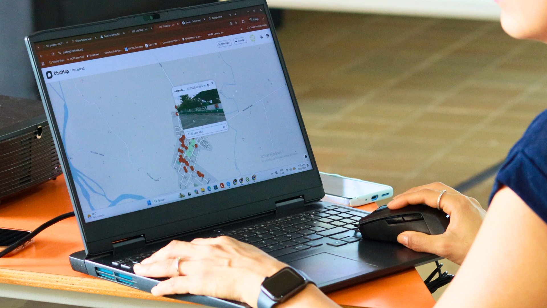
ChatMap being used by the community.
Community Maps for Disaster Risk Management: a strategy built with and from communities
Siviru's experience is part of a broader institutional commitment. The UNGRD's Community Maps project is framed within a participatory mapping strategy that seeks to strengthen the capacities of Territorial Councils by bringing together the traditional knowledge and historical memory of local residents to reinforce disaster risk management planning instruments.
Within the project's five-phase methodology (Preparation, Collection, Development, Systematization, and Updating), ChatMap is formally part of the Development phase, supporting the mapping of key actors and territorial dynamics, and is sometimes also used as a learning exercise ahead of the focus group. In practice, this involves a prior field walk, the use of an everyday channel like WhatsApp to share the location along with photos, videos, or voice notes of each critical point, and finally the export and systematization of that chat into spatial data (GeoJSON) ready for dashboards or platforms such as uMap.
Each territory is left with a systematized site it can use for its own self-assessment, while the Unit centralizes its field visits and reports on its work with data linked to real testimonies. As Evelin Langebeck Cuellar, the project coordinator, explains, this data helps communities "with self-assessment and the creation of community action plans," while it allows the Unit "to evaluate and monitor risk knowledge management" in the territory.
ChatMap Live: when every minute counts
That workflow of field walk, export, and upload works, but it has one clear limitation: time. That is precisely where Emilio Mariscal, Software Manager at HOT, saw the need to close the gap between what happens on the ground and what appears on the map.
How ChatMap Live works: a location shared via WhatsApp appears on the map in less than a minute, with no need to export the chat.
The idea for ChatMap Live came from two experiences that came together in his life: the humanitarian response to Hurricane Melissa in Jamaica, and his work as a volunteer firefighter, especially during wildfires. In both contexts, the same urgency kept returning. As he puts it:
It came from the need to have real-time information during disasters and emergencies (...) we needed to get information faster, without having to export the chat. This is especially useful when you want to use direct messages instead of group chats, since that means exporting many individual chats.
That need gave rise to Live mode, which makes a report appear on the map in under a minute and simplifies management when an individual number is used instead of a group.
Emilio is just as clear, however, about what speed alone cannot solve: receiving information quickly does not guarantee receiving it complete. Locations often arrive as an address or a short description, and people want to add text, images, video, or audio, information that also needs to arrive in a more structured way for those who will use it later. That is why the next step is already underway: ChatMap Bot, a feature that will not only receive information but also respond, offer help, and ask preset questions to complete each report in a structured way.
The development of ChatMap Live was made possible in part thanks to support from Twilio, whose funding for the community mapping project in Colombia was partly allocated to this feature.
The UNGRD confirms that this collaboration is already operating at the national level: so far this year, ChatMap Live has been used in 52 territories across 16 departments. The underlying benefit, as Evelin sums it up, is that ChatMap "decentralizes risk management and directly strengthens citizens' capacities," as a free tool that gives people the ability to "generate, take ownership of, and monitor their own risk information," so that citizens themselves, like Faider and his community in Siviru, are the ones who take that information into their own hands.
A year after that workshop in Siviru, the proof that this ownership is real is that the WhatsApp group never stopped being used. As Faider himself says: "People keep reporting because, as I said before, the capacity to use this tool remained in the territory."
Share




